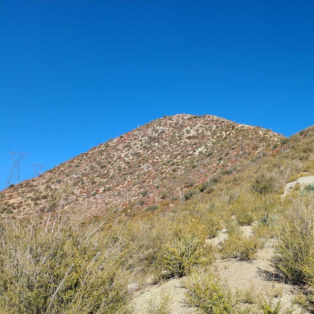
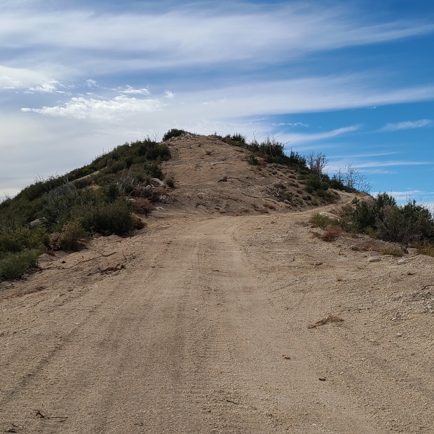
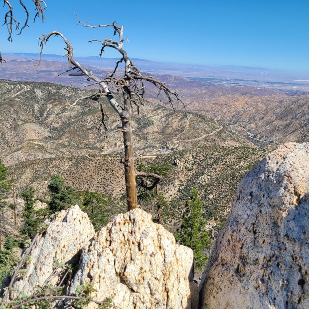
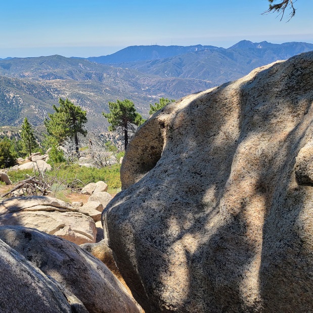
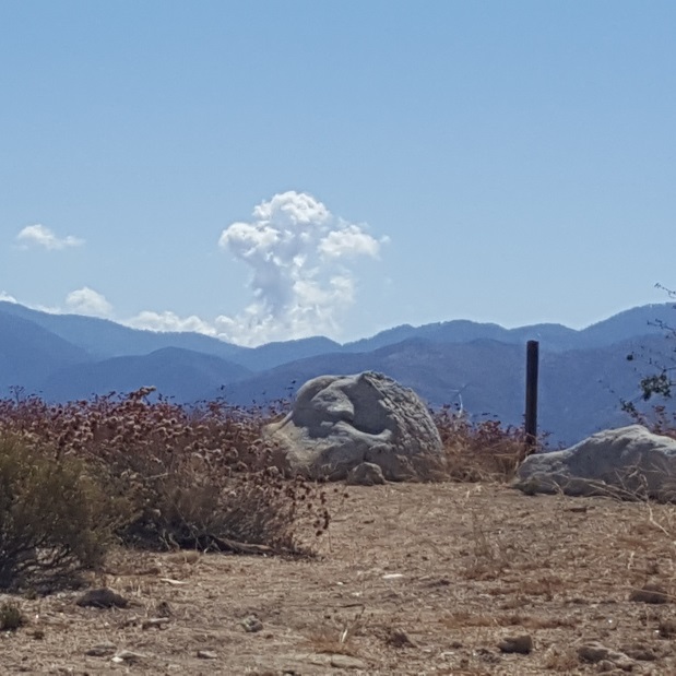
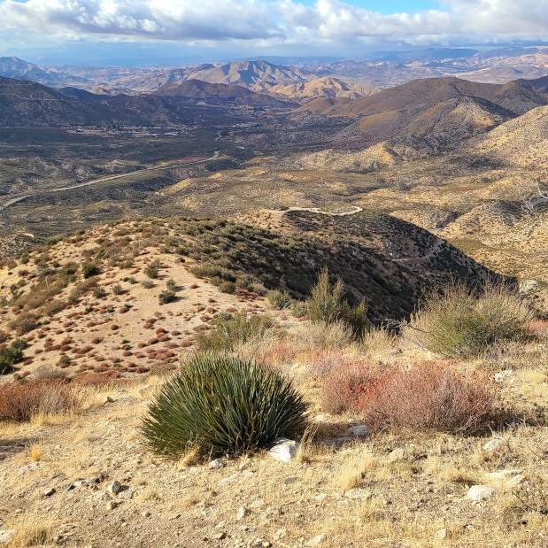
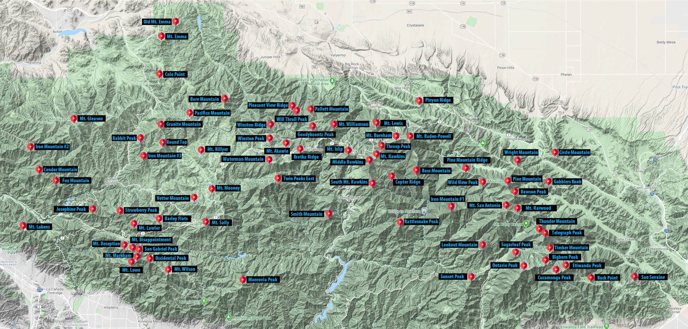
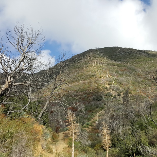
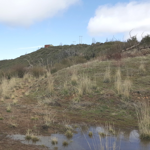
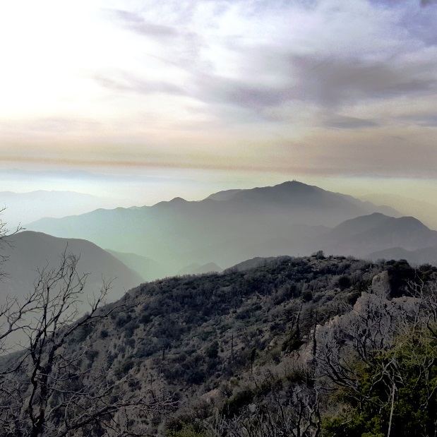
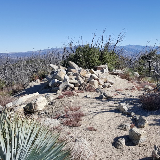
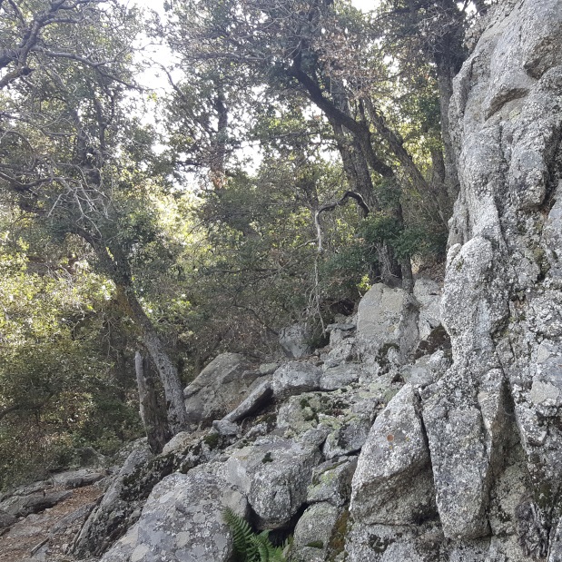
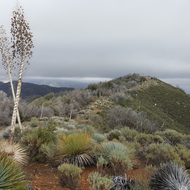
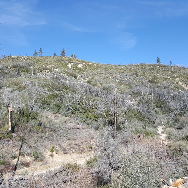
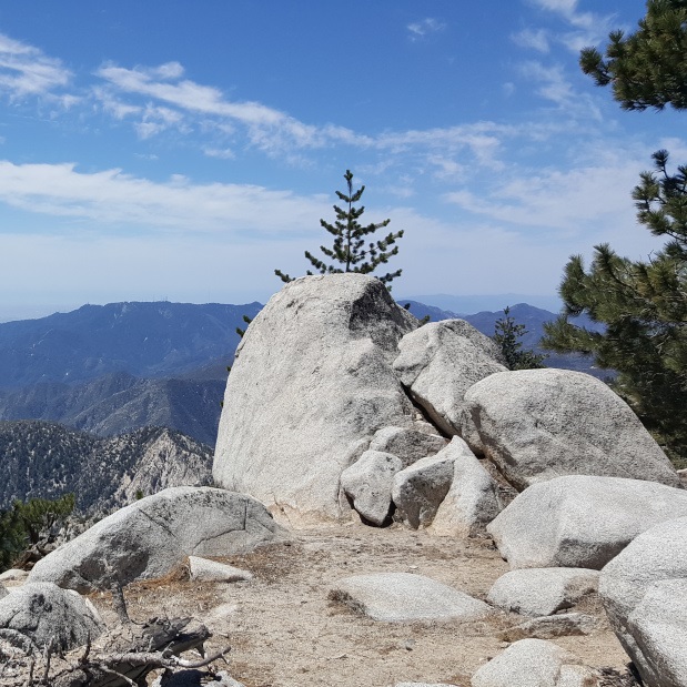
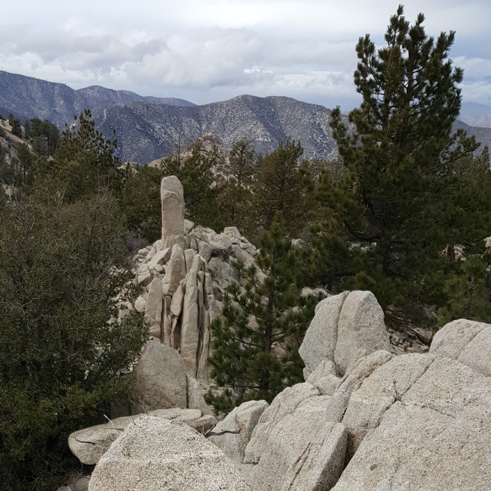
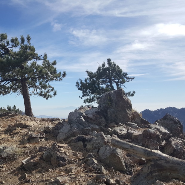
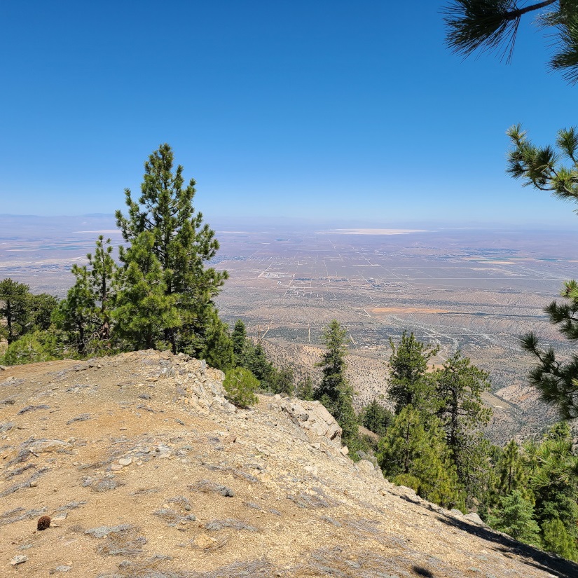
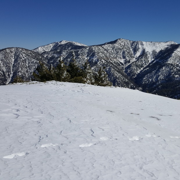
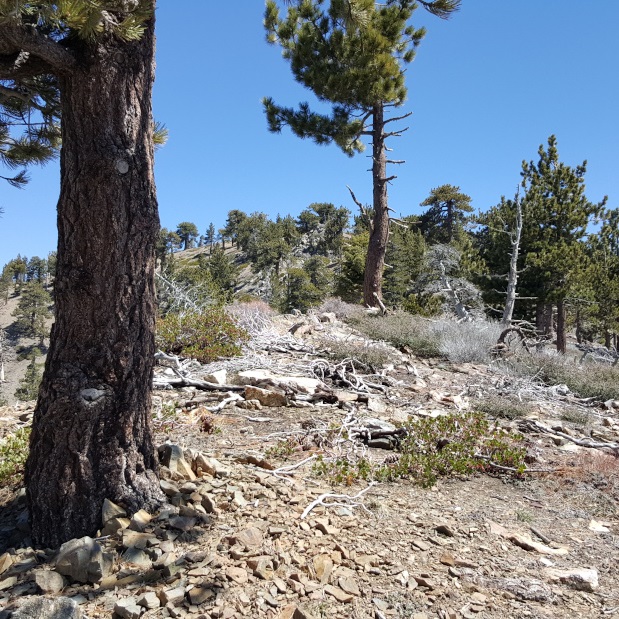
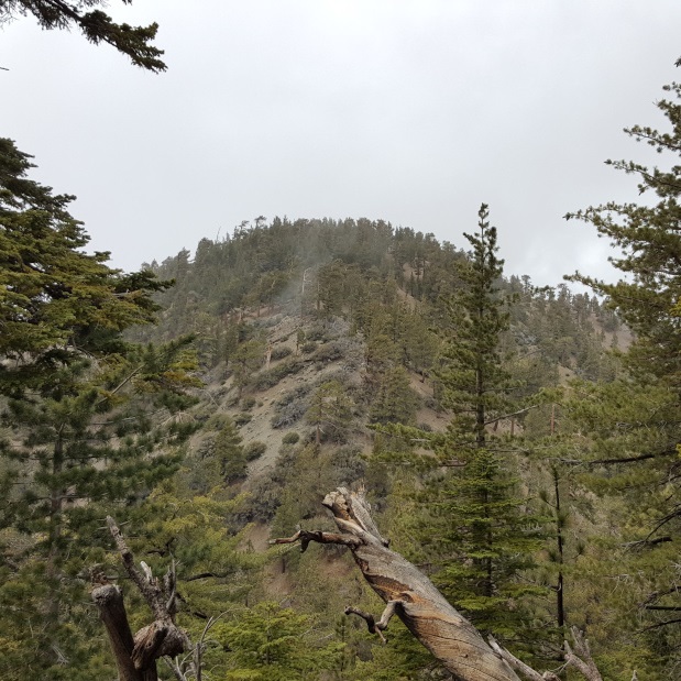
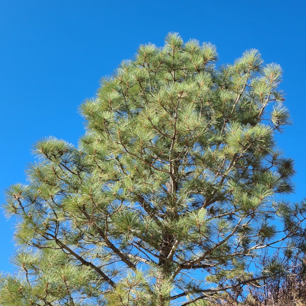
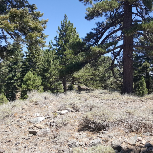
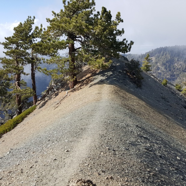
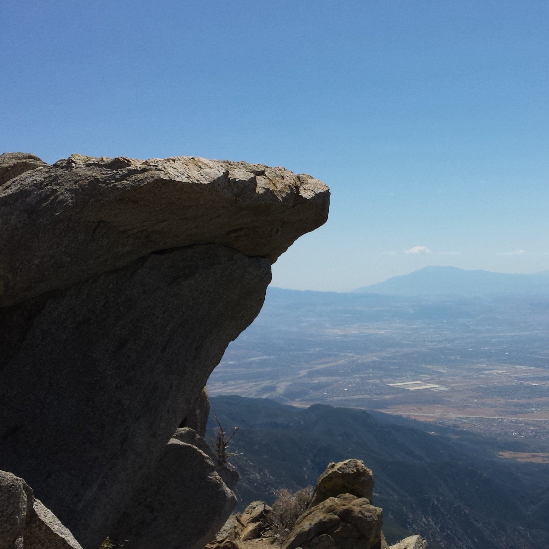
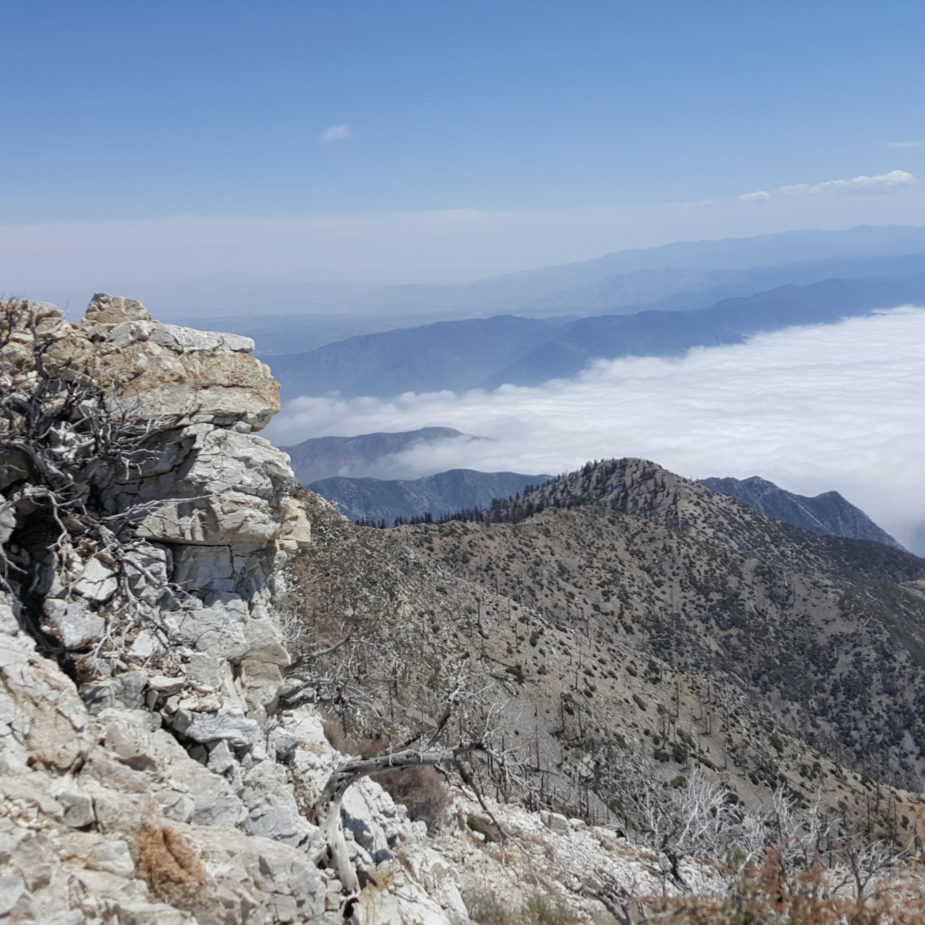
The San Gabriel Mountains shield the LA Basin from the heat of the Mojave Desert while trapping the city’s hazy smog. The rugged lower slopes are thick with chaparral and V-shaped canyons. Rolling peaks and stately conifers top the high ridges.
Explore the vast San Gabriel wilderness by finding a trail hiking guide that speaks to you. Each guide provides detailed turn-by-turn directions, maps, photos, tips, and factoids so you can focus on fun and staying safe.
| On this page: | |
FRONT RANGE
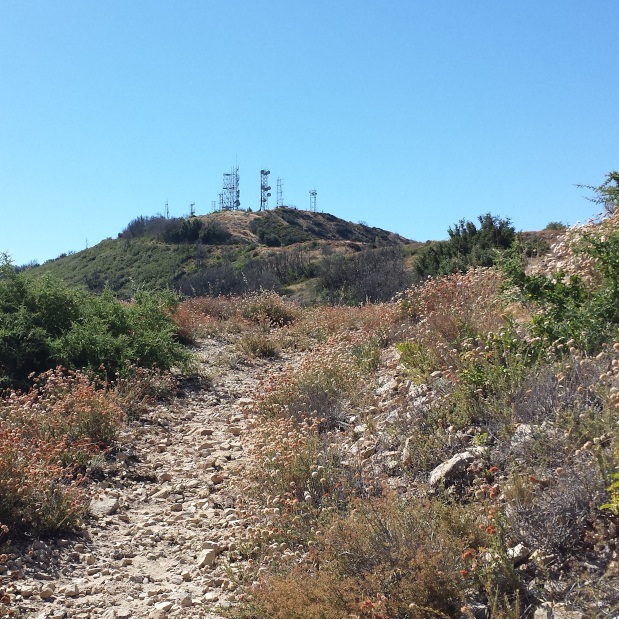
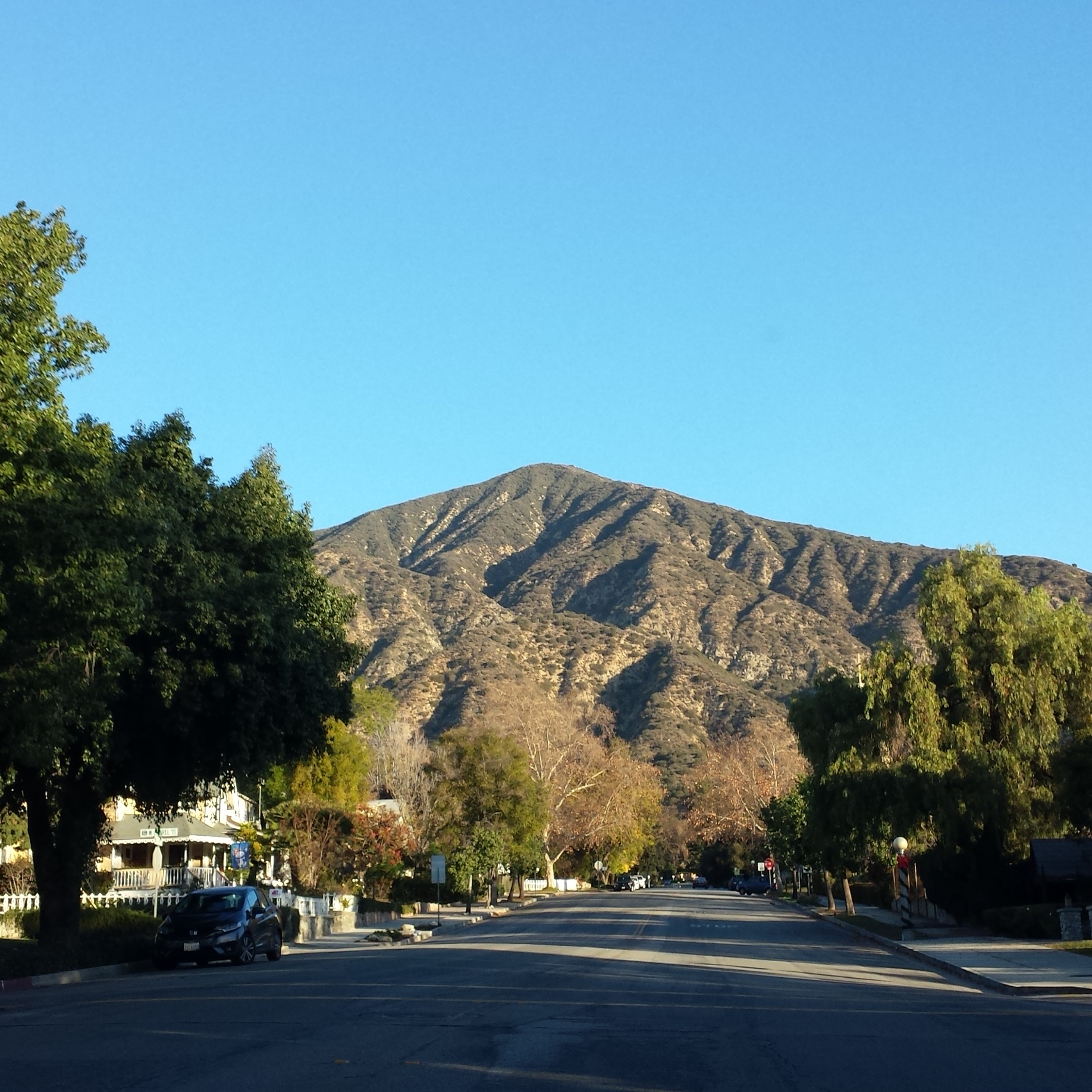
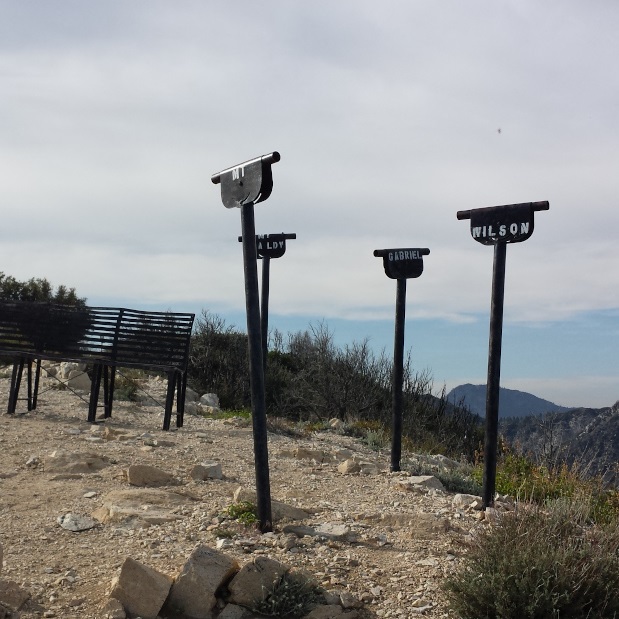
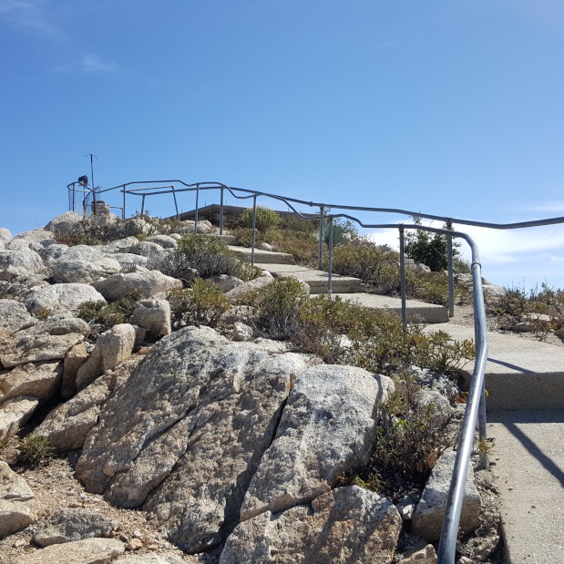
The front range is the east-west band in the south of the San Gabriels. It includes the foothills, canyons, and peaks from 5,000′ to 6,000′ between Newhall Pass to the west and Cajon Pass to the east. Mt. Wilson, with its famous observatory and broadcast towers, is prominent from much of LA.
Big Tujunga | Foothills | Mt. Wilson Area
Big Tujunga
The Big Tujunga area is mainly west of the Angeles Forest Highway and the Big Tujunga Dam. Trail Canyon, Stone Canyon, and Big Tujunga Canyon rise up from the slopes above Sunland and La Crescenta.
Mt. Lukens (via Stone Canyon)
8.2 miles | 5,074′ | 3,272′ gain
Fox Mountain #2
12.6 miles | 5,033’ | 3,000′ gain
Mt. Gleason
18.4 miles | 6,502′ | 2,490′ gain
Rabbit Peak & Iron Mountain #3
9.5 miles | Rabbit Peak: 5,307’, Iron Mountain: 5,040’ | 2,730′ gain
Round Top
12 miles | 6,316’ | 2,100′ gain
Granite Mountain (via Mill Creek Summit)
9.5 miles | 6,600′ | 1,765′ gain
Pacifico Mountain (via Mill Creek Summit)
13.4 miles | 7,124′ | 2,208′ gain
Mt. Emma and Old Mt. Emma (via Mt. Emma Road)
6.2 miles | Mt. Emma: 5,273’, Old Mt. Emma: 5,063’ | 1,633’ gain (Mt. Emma: 1,380’, Old Mt. Emma: 253’)
Cole Point
2.8 miles | 5,604’ | 1,500′ gain
FOOTHILLS
From the foothill communities by Pasadena, there are many trails you can explore with minimal driving.
Mt. Wilson Area
Before Mt. Wilson’s antenna forest, Hubble’s discoveries here supported the Big Bang Theory and Michelson measured the speed of light. As you cruise along the early stretches of the Angeles Crest Highway, there are many trails to explore around Red Box and Eaton Saddle.
Mt. Wilson (via Little Santa Anita Canyon)
15 miles | 5,710′ | 4,800′ gain
Josephine Peak (via Colby Canyon)
8.2 miles | 5,558′ | 2,100′ gain
Strawberry Peak (via Colby Canyon)
6.3 miles | 6,164′ | 2,650′ gain
Mt. Lawlor (via Red Box)
6 miles | 5,957′ | 1,300′ gain
Barley Flats (via Red Box)
6.2 miles | 5,600′ | 1,000′ gain
San Gabriel Peak, Mt. Disappointment (via Red Box)
4.34 miles | San Gabriel: 6,161′, Disappointment: 5,963′ | 1,500′ gain
Mt. Deception (via Red Box)
4.75 miles | 5,796′ | 1,100′ gain
Mt. Markham (via Eaton Saddle)
3.2 miles | 5,742′ | 628′ gain
Mt. Lowe (via Eaton Saddle)
3.2 miles | 5,603′ | 494′ gain
Occidental Peak
2 miles | 5,732′ | 400′ gain
Mt. Sally (via Shortcut Saddle)
2.2 miles | 5,408′ | 600′ gain
TWEENER AREA
The middle stretch of the San Gabriels runs between the front range and the Crystal Lake area of the back range. Near the Mt. Waterman Ski Lifts, you will start seeing the large conifer trees as you leave the chaparral behind. At the big bend in the Angeles Crest Highway, Newcomb’s Ranch is a roadhouse with many motorcycles parked in front.
Vetter Mountain (via Charlton Flat)
3.8 miles | 5,911′ | 549′ gain
Mt. Mooney (via Charlton Flat)
2 miles | 5,840′ | 422′ gain
Mt. Hillyer (via Rosenita Saddle)
1.2 miles | 6,200′ | 269′ gain
Waterman Mountain (via Buckhorn)
5.6 miles | 8,038′ | 1,238′ gain
Twin Peaks East (via Buckhorn)
9.6 miles | 7,761′ | 3,300′ gain
Winston Peak & Winston Ridge (via Cloudburst Summit)
4.3 miles | Winston Peak: 7,502’, Winston Ridge: 7,003′ | 1,365′ gain
Mt. Akawie
1.5 miles | 7,283′ | 400′ gain
Kratka Ridge (via Vista Picnic Area)
1.5 miles | 7,515′ | 700′ gain
Will Thrall Peak (via Buckhorn)
11.2 miles | 7,845′ | 3,283′ gain
Pleasant View Ridge (via Buckhorn)
12.2 miles | 7,983′ | 3,900′ gain
Pallett Mountain (via Islip Saddle)
9 miles | 7,760′ | 4,000′ gain
Smith Mountain (via Bear Canyon Trail)
7 miles | 5,111′ | 1,826′ gain
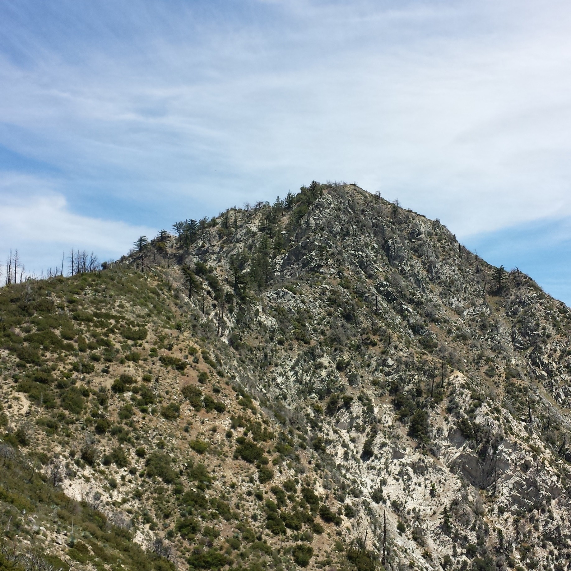
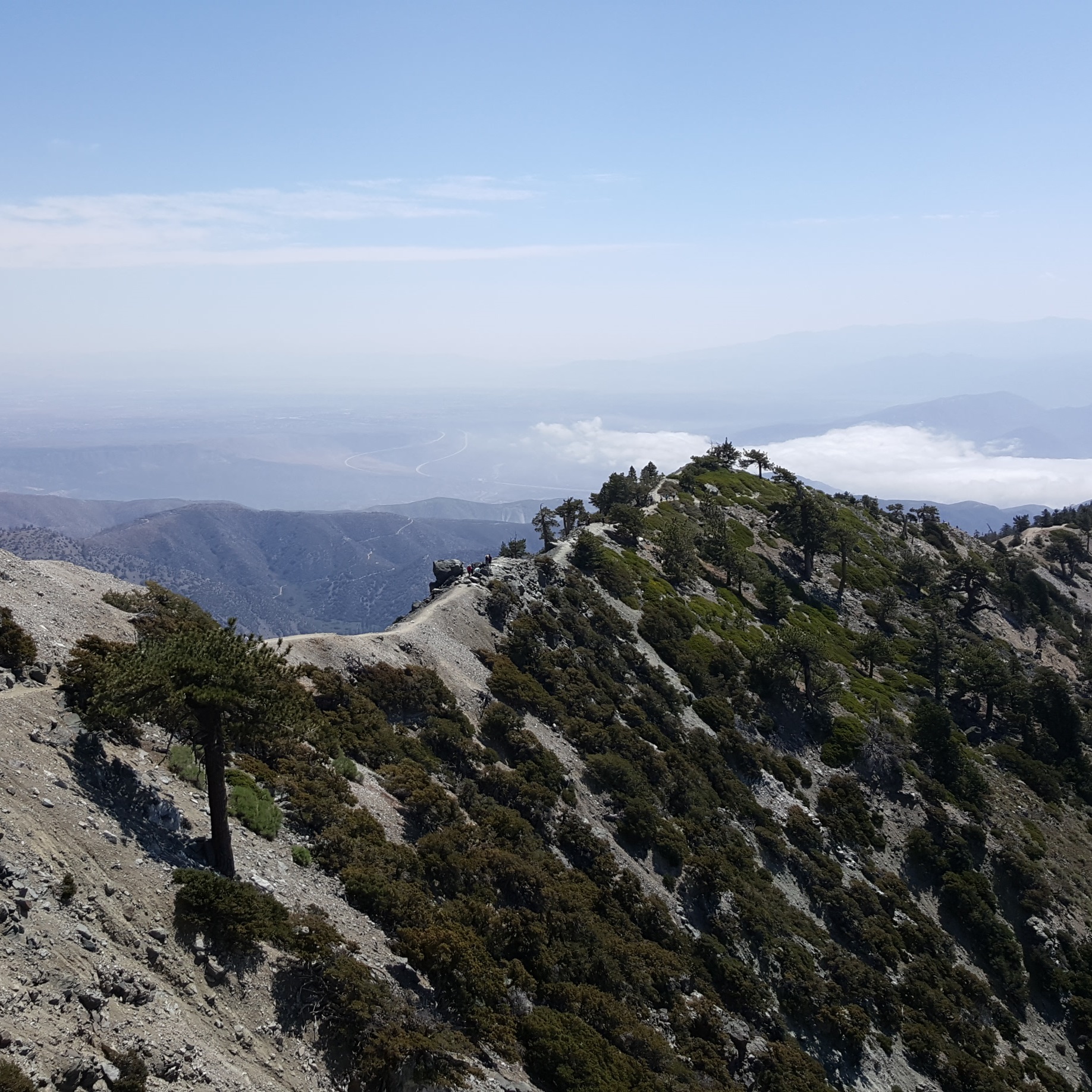
BACK RANGE
The back range is the taller east-west band in the north of the San Gabriels. It starts near Mt. Gleason, heads east, includes the 8,000 and 9,000-foot peaks, reaches the 10,000-foot Mt. Baldy, then ends near Ontario Peak.
Crystal Lake
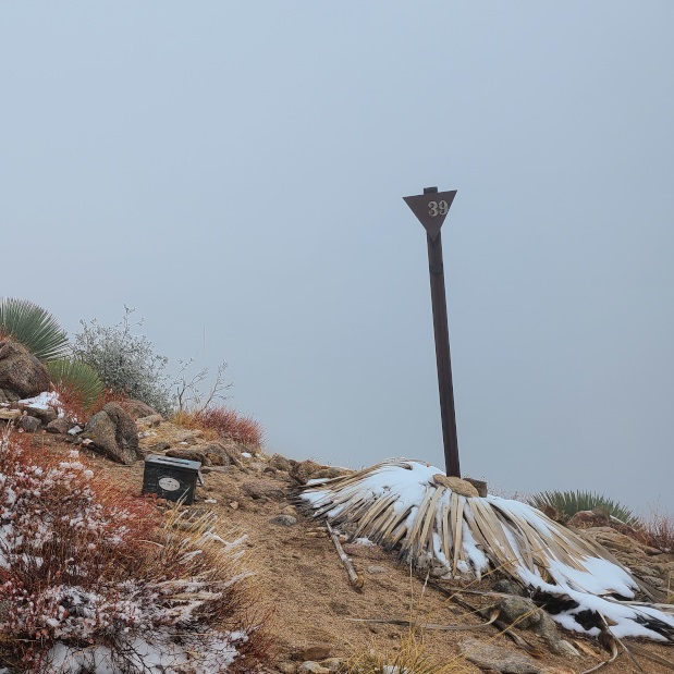
The Crystal Lake Recreation Area is at the center of the back range. From Azusa, it is 26 miles north to Crystal Lake along Highway 39 by the north fork of the San Gabriel River.
Mt. Williamson (via Islip Saddle)
5 miles | 8,244′ | 1,604′ gain
Mt. Islip (via Windy Gap Trail)
7 miles | 8,250′ | 2,400′ gain
Mt. Hawkins (via Islip Saddle)
8.4 miles | 8,850′ | 2,200′ gain
S Mt. Hawkins & Middle Hawkins (via Islip Saddle)
13.2 miles | S Mt. Hawkins: 7,783′, Middle Hawkins: 8,505′ | 2,300′ gain
Throop Peak (via Islip Saddle)
10 miles | 9,138′ | 2,409′ gain
Mt. Lewis (via Dawson Saddle)
1 mile | 8,396′ | 500′ gain
Mt. Burnham (via Dawson Saddle)
6.4 miles | 8,997′ | 2,100′ gain
Mt. Baden-Powell (via Vincent Gap)
8 miles | 9,407′ | 2,807′ gain
Pinyon Ridge (via Vincent Gap)
6.4 miles | 6,535′ | 1,100′ gain
Wright Mountain (via Acorn Trail)
9 miles | 8,505′ | 2,525′ gain
Circle Mountain (via Lone Pine Canyon Road)
2.4 miles | 6,875′ | 876′ gain
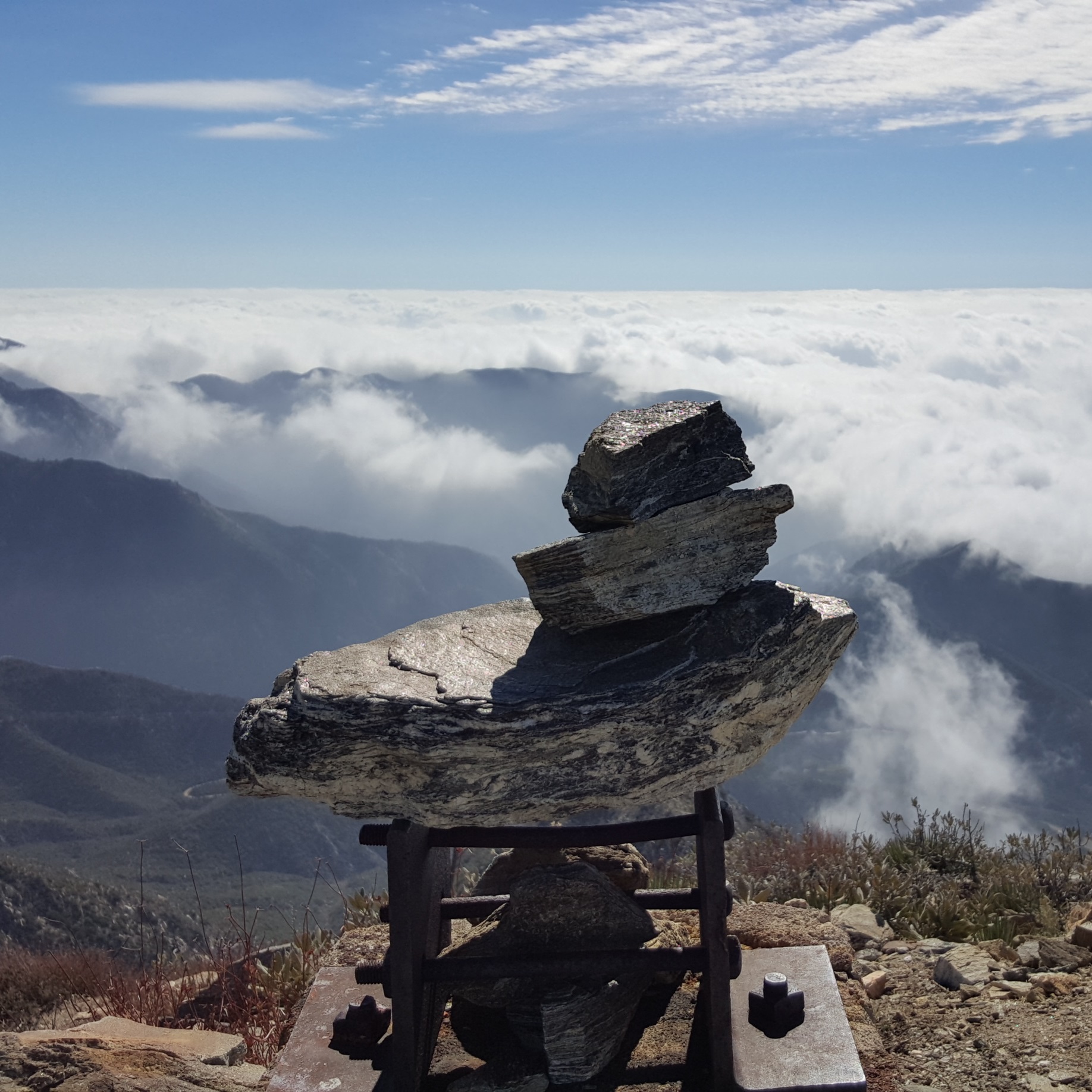
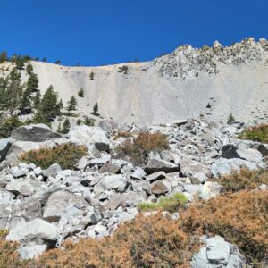
Mt. Baldy Area
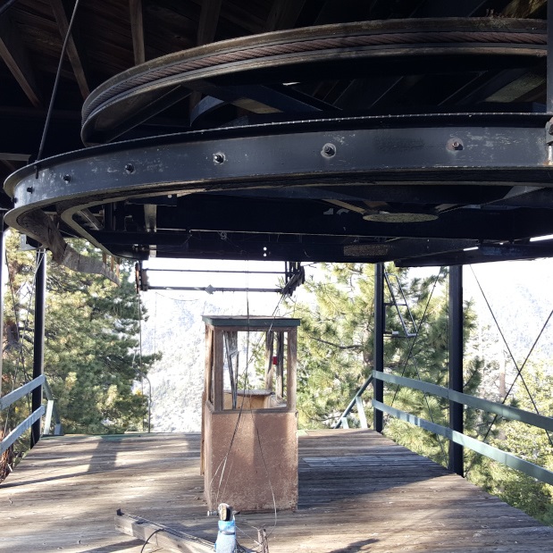
Mt. San Antonio is the tallest mountain in LA County. More commonly known as Mt. Baldy, you can see its snow-covered bowl after a winter storm. From the Notch, you can ski, snowboard, catch a concert, have a bite to eat, or grab a brew. You can hike to Baldy’s summit or another tall back range peak and then take the ski lift down.
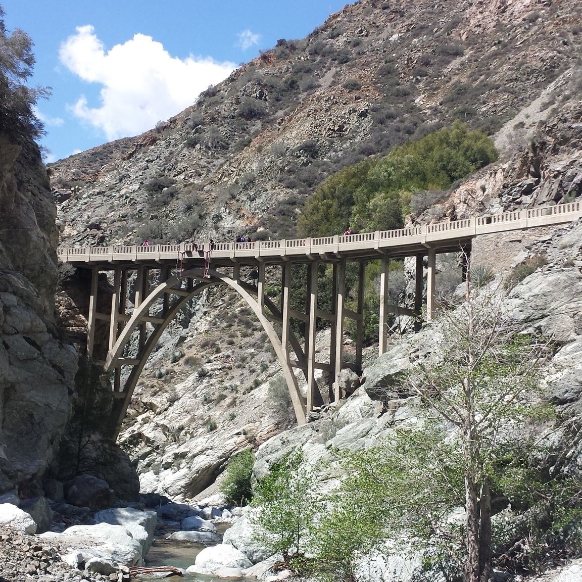
The Bridge to Nowhere (East Fork Trail)
9.6 miles | 1,000′ gain
Pine Mountain & Dawson Peak (via North Backbone Trail)
10 miles | Pine: 9,648’, Dawson: 9,575′ | 3,500′ gain
Rattlesnake Peak
8.8 miles | 5,826′ | 4,400′ gain
Mt. Baldy, West Baldy, & Mt. Harwood (via Devil’s Backbone)
6.6 miles | 10,064′ | 2,369′ gain
Mt. Baldy (via Ski Hut and Devil’s Backbone)
11 miles | 10,064′ | 3,800′ gain
Mt. Baldy (via Ski Hut Trail)
9 miles | 10,064′ | 3,800′ gain
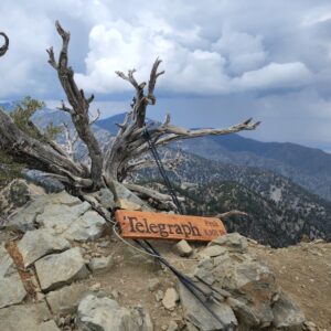
Three T’s (via Icehouse Canyon)
14 miles | Timber: 8,307’, Telegraph: 8,989’, Thunder: 8,587’ | 4,750′ gain
Bighorn Peak (via Icehouse Canyon)
11.1 miles | 8,441′ | 3,400′ gain
Ontario Peak (via Icehouse Canyon)
11.6 miles | 8,693′ | 3,688′ gain
Cucamonga Peak (via Icehouse Canyon)
12 miles | 8,862′ | 4,300′ gain
Etiwanda Peak (via Icehouse Canyon)
13.2 miles | 8,662′ | 4,600′ gain
Sunset Peak (via Fire Road)
8 miles | 5,796′ | 1,401′ gain
WHITNEY TRAINING HIKES
The following hikes are great preparation for an expedition to Whitney through a combination of altitude, distance, and elevation gain.
Mt. Baldy, West Baldy, & Mt. Harwood (via Devil’s Backbone)
6.6 miles | 10,064′ | 2,369′ gain
Mt. Wilson (via Little Santa Anita Canyon)
15 miles | 5,710′ | 4,800′ gain
Cucamonga Peak (via Icehouse Canyon)
12 miles | 8,862′ | 4,300′ gain
More Hiking Regions
More Hiking Regions
San Gabriel Mountains | Santa Monica Mountains | San Bernardino Mountains | San Jacinto Mountains | San Emigdio Mountains | Santa Ana Mountains | Sierra Pelona Mountains | San Diego Area Mountains | Panamint Range | Sierra Nevada Mountains | White Mountains | Arizona | Colorado | Hawaii | Nevada | Utah | Central Asia (Kyrgyzstan, Kazakhstan, Tajikistan) | Chile (Patagonia) | Jordan (Petra) | Nepal (Everest Base Camp) | Portugal (The Azores) | Seychelles | Tanzania (Kilimanjaro)