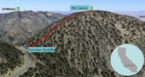
| Objective: Summit Mt. Lewis, San Gabriel Mountains, California Distance: 1 mile (out and back) Peak Elevation: 8,396′ Elevation Gain: 500′ Difficulty: Easy |
Hiking to Mt. Lewis is a nice cooldown after tackling tougher peaks in the back range of the San Gabriels.
Directions to Trailhead
| From the 210 East in La Cañada, take the Angeles Crest Highway (CA 2) for 44.8 miles to Dawson Saddle. Park in the large parking lot on the left (north). |
Directions to Summit
| Trailhead: From the west side of the maintenance building, follow the use trail. 0.5 miles: You have reached Mt. Lewis. Turn around and head back. |
Trek Highlights
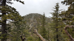
The use trail to the summit is pretty much a straight shot to the ridge through a Jeffrey pine forest. You veer right and follow the ridge to the top. There seems to be a lot of fool’s gold (pyrite) near the peaks of the back range.
Red Tape
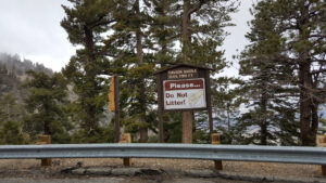
Display your adventure pass.
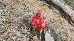
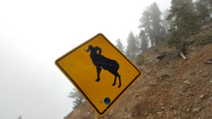
Photos