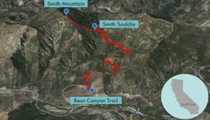
| Objective: Summit Smith Peak, San Gabriel Mountains, California Distance: 7 miles (out and back) Peak Elevation: 5,111′ Elevation Gain: 1,826′ Difficulty: Moderate |
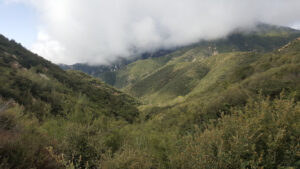
Smith Mountain is located between North Fork San Gabriel River and Beer Creek. The trail crosses through Lost Canyon and Beer Creek Canyon.
Directions to Trailhead
| From the 210 E in Azusa, take Exit 40, turn left (north) on Azusa Avenue (CA-39). Continue 11.8 miles as the road turns into San Gabriel Canyon Road. At the junction with E. East Fork Road, keep going straight. Continue 6.3 miles to a wide paved parking area on the left. (This is before a gate, about 0.2 miles before the Coldbrook Ranger Station and Campground.) Park at the lot. |
Directions to Summit
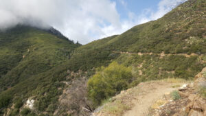
| Trailhead: From the north end of the parking lot, begin hiking Bear Canyon Trail. 3 miles: At Smith Saddle, turn left at the use trail. 3.5 miles: You have reached Smith Mountain. Turn around and head back. |
Trek Highlights
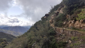
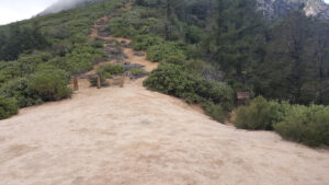
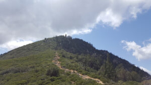
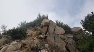
Bear Canyon Trail curves around the slopes of Lost Canyon until you reach Smith Saddle. At the saddle, there is a sign on the right that says “San Gabriel Wilderness”. Veer left off the trail and follow a use trail south along the ridgeline up to the summit. The use trail is rocky and climbs steeply over half a mile in a straight line up the spine-like ridgeline until you reach the peak.
Red Tape
Display your adventure pass.
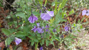
Photos