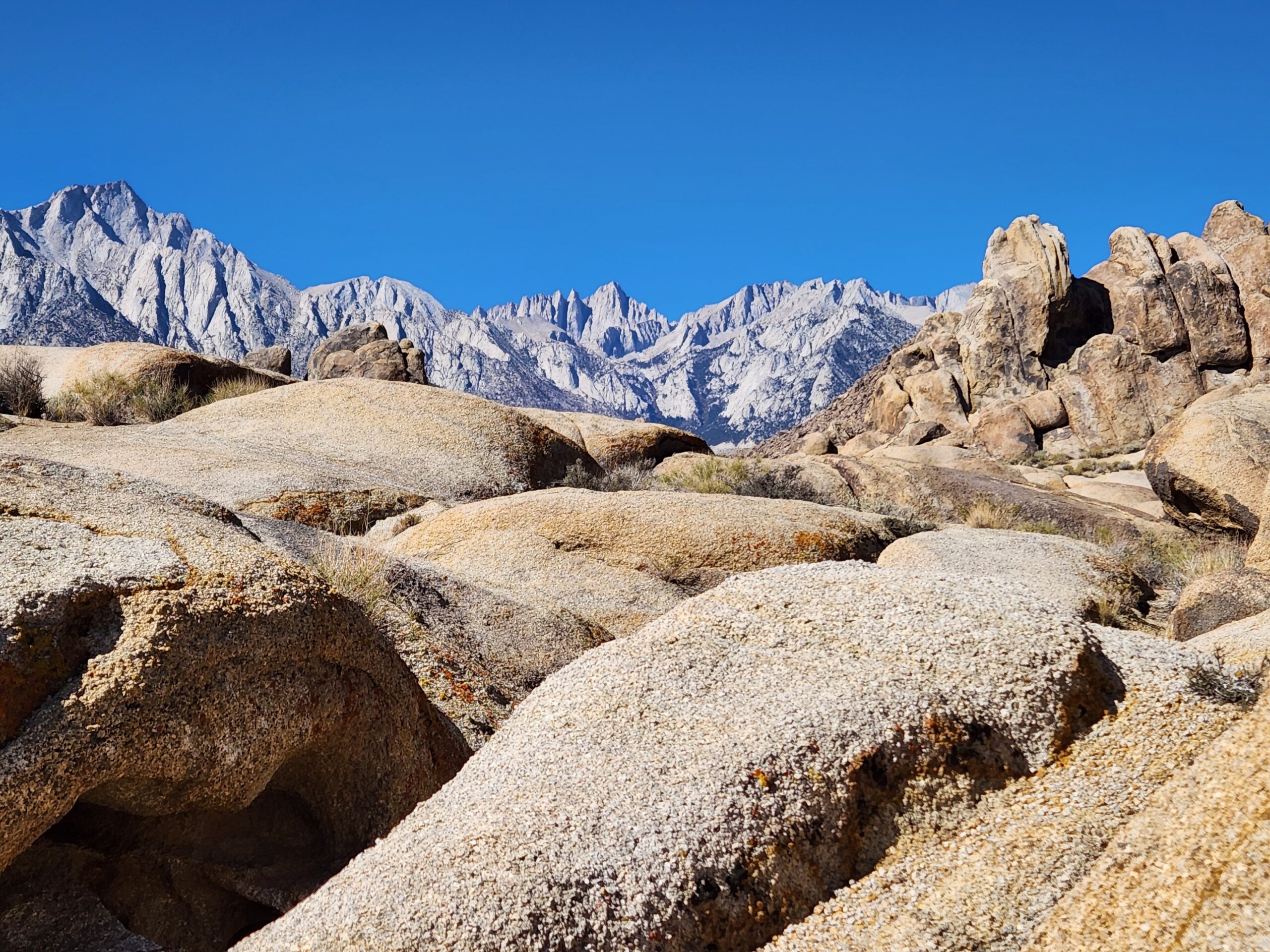
| Distance: 22 miles (round-trip) |
Elevation Gain: 6,140 feet |
Peak Elevation: 14,505 feet |
| Trip Length: 1 day |
Terrain: Forest, meadow, glacial lakes, ridge, mountain |
Best time to visit: July to September |
| Objective: Summit Mt. Whitney, Sierra Nevada Mountains, CA |
Route: Mount Whitney Trail |
Caution: Altitude sickness, lightning |
SUMMIT WHITNEY? JUST DO IT!
The Sierra Nevada Mountains form part of a backbone stretching from Alaska to Antarctica along the Pacific Ring of Fire. The High Sierra has always been an alluring mix of danger and enchantment. Reaching its towering peaks, glistening lakes, roaring waterfalls, wildflower meadows, and otherworldly alpenglow is challenging. Everything you need to climb Mt. Whitney in a single day: mile-by-mile trail notes, gear, and FAQs for the highest peak in the lower 48.
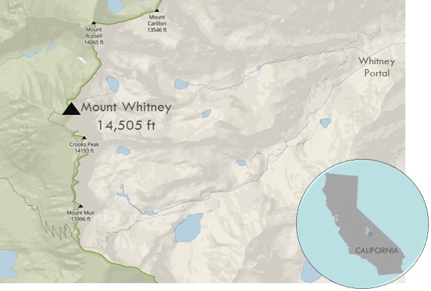
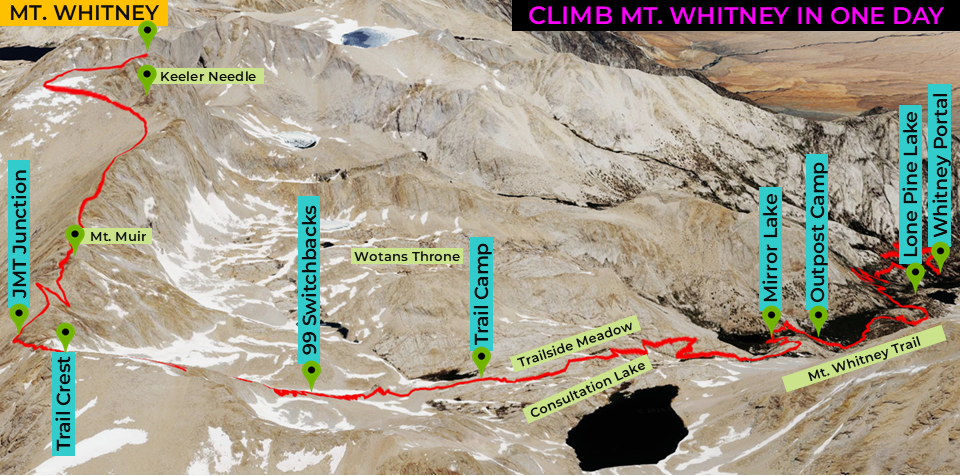
From the sleepy town of Lone Pine, the trail begins due west, past the boulder-strewn Alabama Hills, at Whitney Portal. The path quickly leaves behind trees, streams, and lakes for the granite massif. From Trail Camp, the unrelenting 99 Switchbacks will test your preparation until you reach Trail Crest. There’s one last tough push just below the needles of the sharp ridge until the scramble up a talus grade.
By Edward So, an adventure travel writer who has climbed one of the Seven Summits and is trying to climb all of the 14ers in California and Colorado
WHITNEY PORTAL TO LONE PINE LAKE
| Distance: 2.8 miles: Whitney Portal (8,365’) to Lone Pine Lake (9,960′) Elevation Gain: 1,595′ |
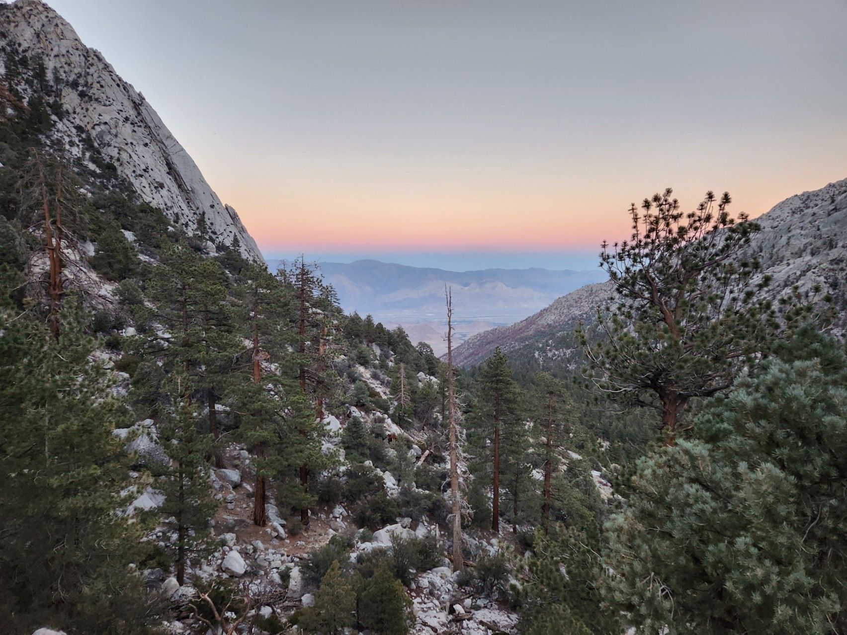
At Whitney Portal, you will set off on an alpine start with headlamps. From the trailhead just below the Whitney Portal Store, there are large interpretive signs and two sets of bear boxes. Pine forests and streams surrounded the path. The Mount Whitney Trail ascends long switchbacks reaching the North Fork of Lone Pine Creek 0.65 miles from the trailhead. At the junction, stay on the Mount Whitney Trail as the northern path follows the technical Mt. Whitney’s Mountaineer’s Route.
There are several stream crossings. After the log bridge over Lone Pine Creek, a short trail to the left leads down to Lone Pine Lake. Soon, you will reach a sign indicating your arrival at the Mt. Whitney Zone. You need the correct permit to continue.
LONE PINE LAKE TO OUTPOST CAMP
| Distance: 1.0 mile: Lone Pine Lake (9,960′) to Outpost Camp (10,360′) Elevation Gain: 400′ |
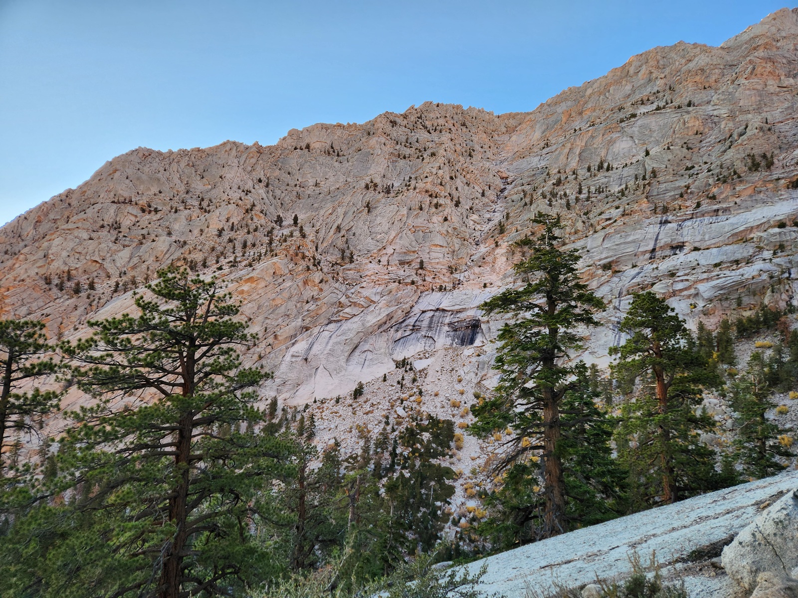
When the trail dips a bit before Bighorn Park, remember to look back at the trees below. The trail traverses the southern edge of a luxuriant green meadow. High granite walls sandwich Outpost Camp. It was once popular with multi-day hikers. There is a waterfall at the edge of Outpost Camp.
OUTPOST CAMP TO MIRROR LAKE
| Distance: 0.5 miles: Outpost Camp (10,360′) to Mirror Lake (10,640′) Elevation Gain : 280′ |
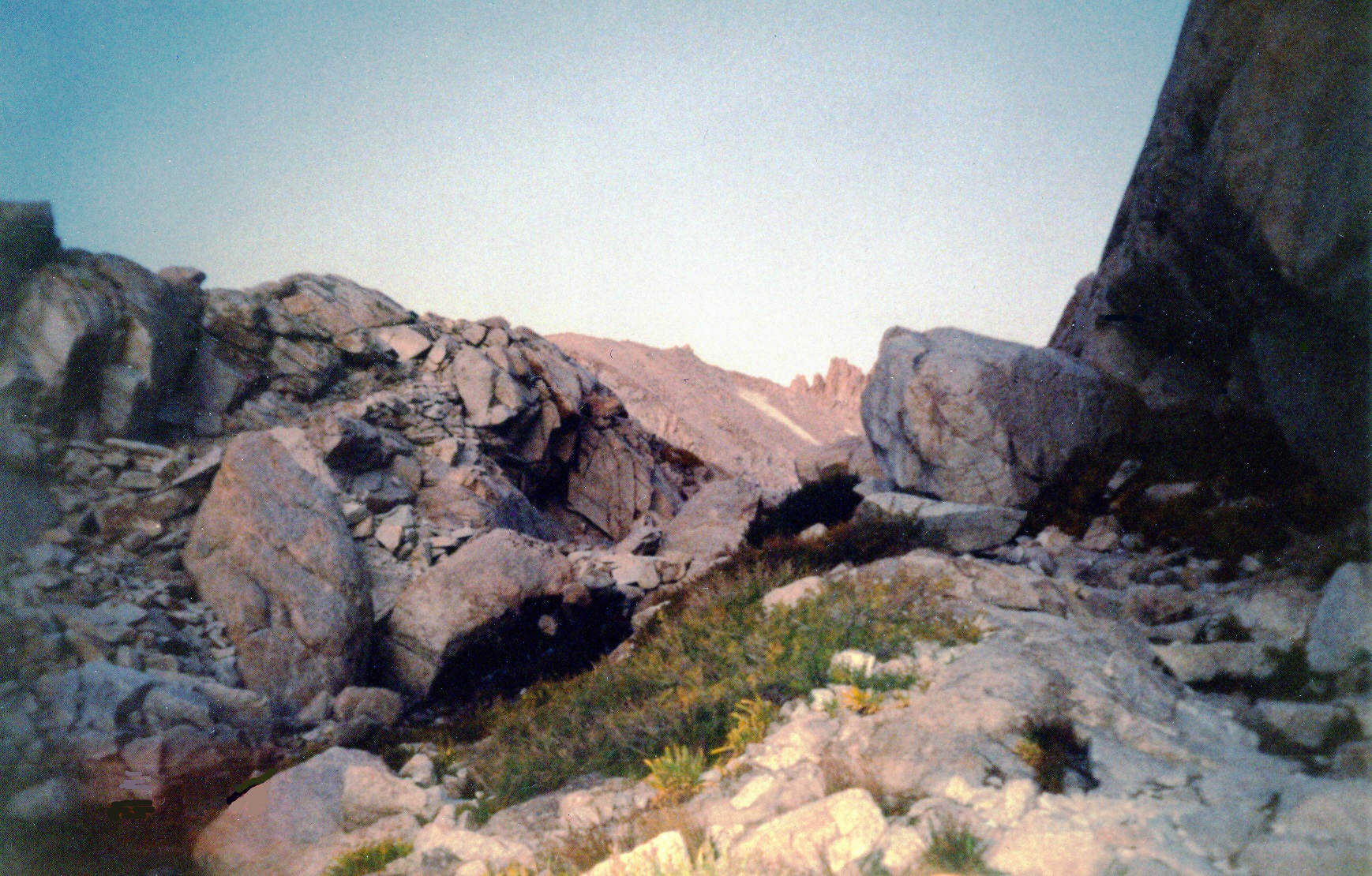
The trail begins ascending some switchbacks on some exposed granite blocks. After you pass Mirror Lake, you walk across a huge rock bench the size of a stadium. Tree line is just above Mirror Lake, and the green landscape starts to fall away to gray.
MIRROR LAKE TO TRAIL CAMP
| Distance: 2.0 miles: Mirror Lake (10,640′) to Trail Camp (12,039′) Elevation Gain: 1,399′ |
The trail scrambles up some granite boulders and a stretch of rugged terrain. The trail continues along the northern side of Trailside Meadow’s native grass and wildflowers and Lone Pine Creek.
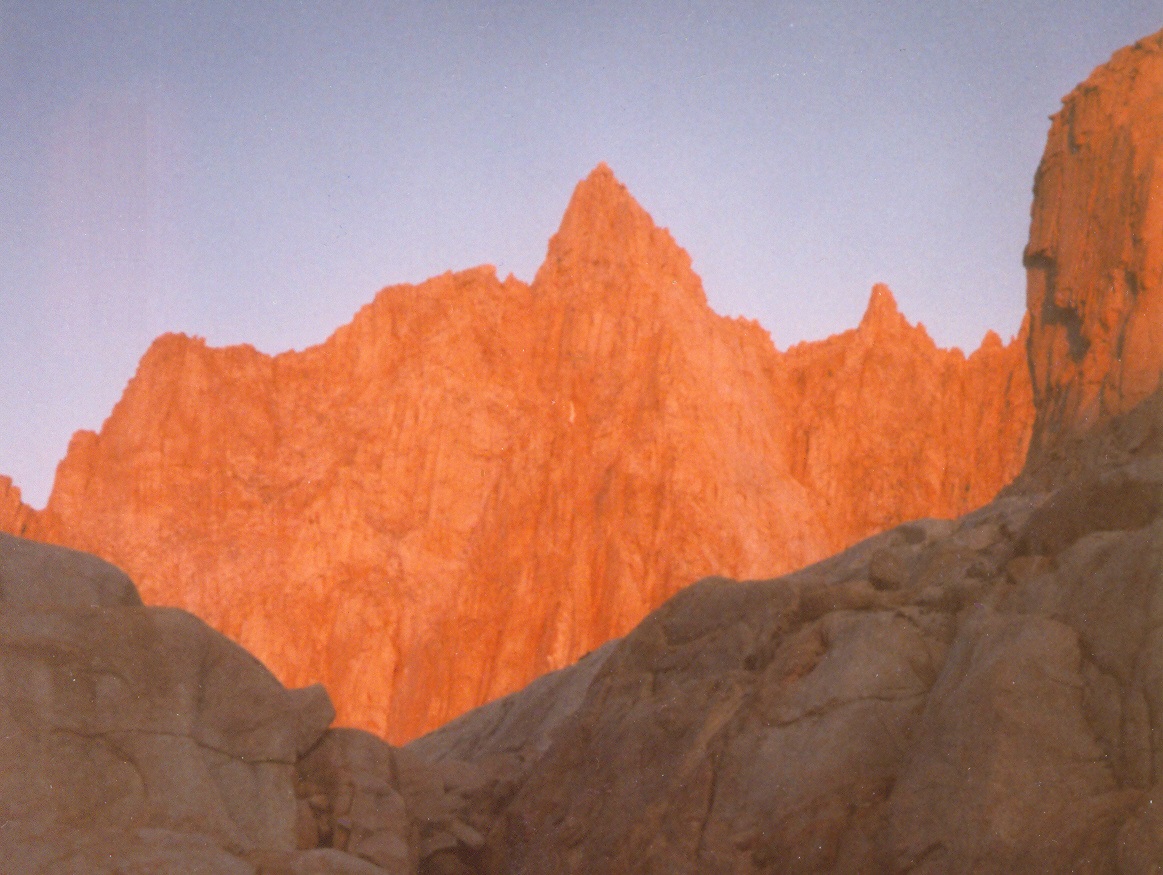
Consultation Lake is a large glacial lake south of the trail. If you’re lucky enough to be here around sunrise, you may witness a luminous, scarlet alpenglow on Whitney’s ridgeline.
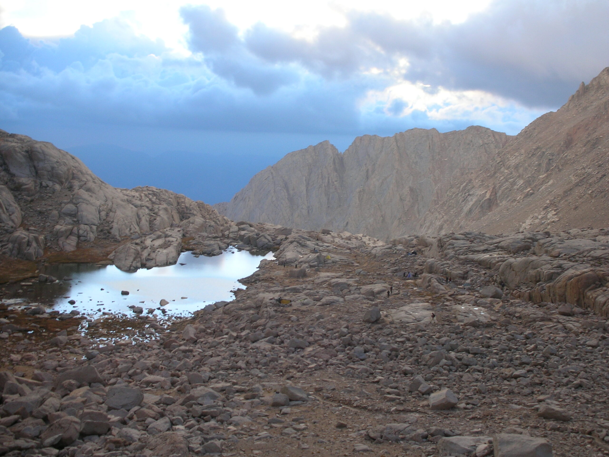
Trail Camp is a flat clearing that overnight hikers use to stage their summit attempts. Be careful as the marmots will snatch any unattended gear within minutes.
TRAIL CAMP TO TRAIL CREST
| Distance: 2.2 miles: Trail Camp (12,039′) to Trail Crest (13,770′) Elevation Gain: 1,738′ |
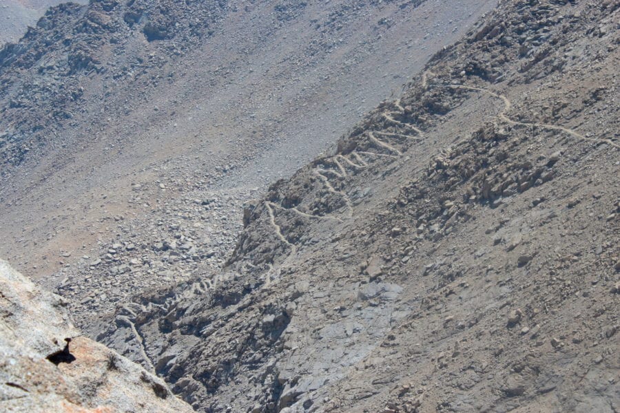
Wotans Throne sits regally above the Trail Camp pond. Avoid bonking by fueling up at Trail Camp. From here, the trail begins its climb of the dreaded 99 Switchbacks. If you experience symptoms of altitude sickness, you may need to seek treatment. Near the top of the zigzags, there may still be lingering snow and icy patches late in the summer. This section has cables to protect hikers from the steep exposure.
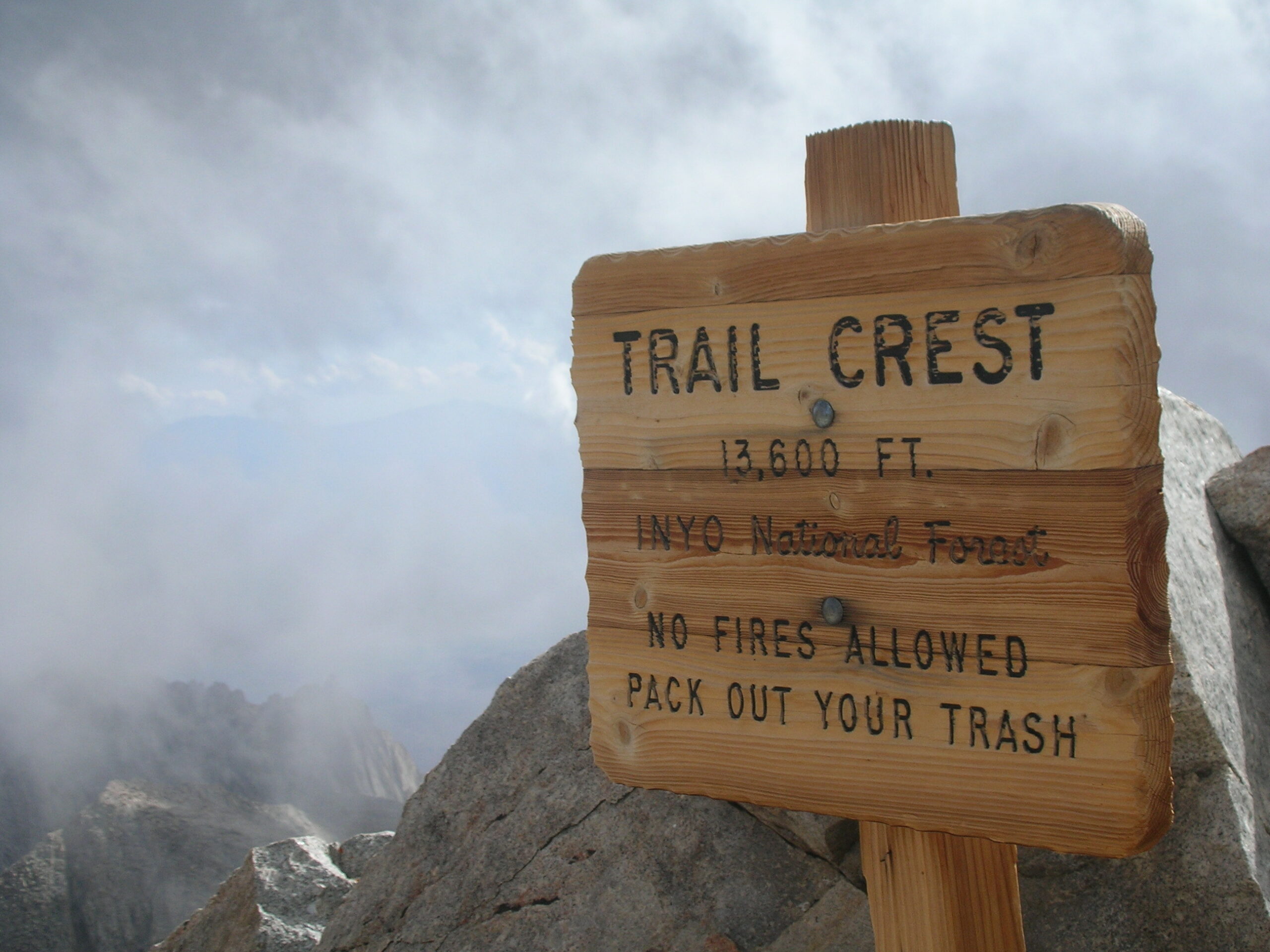
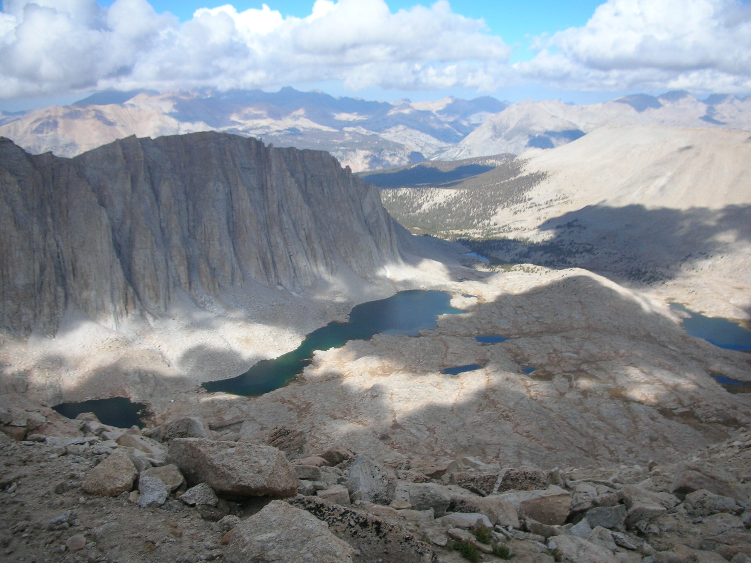
The ridge gets closer and closer until eventually the brunt of the climb is complete. Trail Crest has magnificent views of the glacial lakes and scenery below to the east and in Sequoia National Park to the west.
TRAIL CREST TO JMT JUNCTION
| Distance: 0.5 miles: Trail Crest (13,777′) to John Muir Trail Junction (13,480′) Elevation Gain: -297′ |
At Trail Crest, the Mt. Whitney Trail will slightly drop to a junction with the John Muir Trail rising from the west. From here, the John Muir Trail is still about two miles from the top.
JMT JUNCTION TO SUMMIT
| Distance: 2.0 miles: John Muir Trail Junction (13,480′) to Mt. Whitney Summit (14,505′) Elevation Gain: 1,025′ |
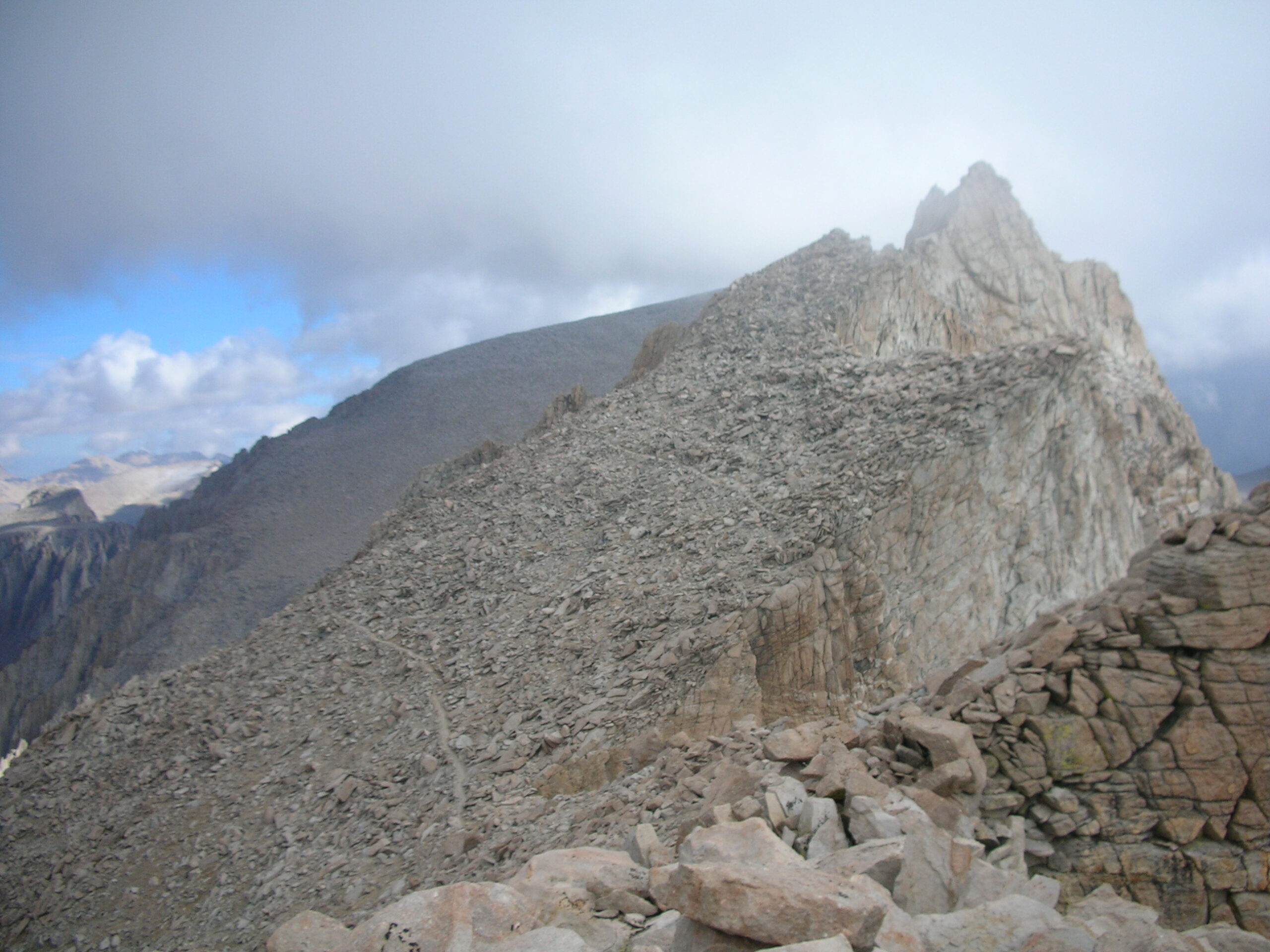
The ridgeline trail hugs the western face of the Whitney massif with spectacular vistas of Sequoia NP’s eastern boundaries and its gemstone-colored, teardrop glacial lakes and jagged granite peaks. The moonscape of the glacier-carved valley below is both majestic and desolate.
If you have extra energy, you could always take a Class 3 detour to the top of Mt. Muir, another fourteener, about half a mile from the junction.
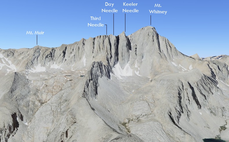
The way is still far and steep with alternating series of needles and gaps. These windows have sheer drops on each side and gentle gusts of wind flowing through them.
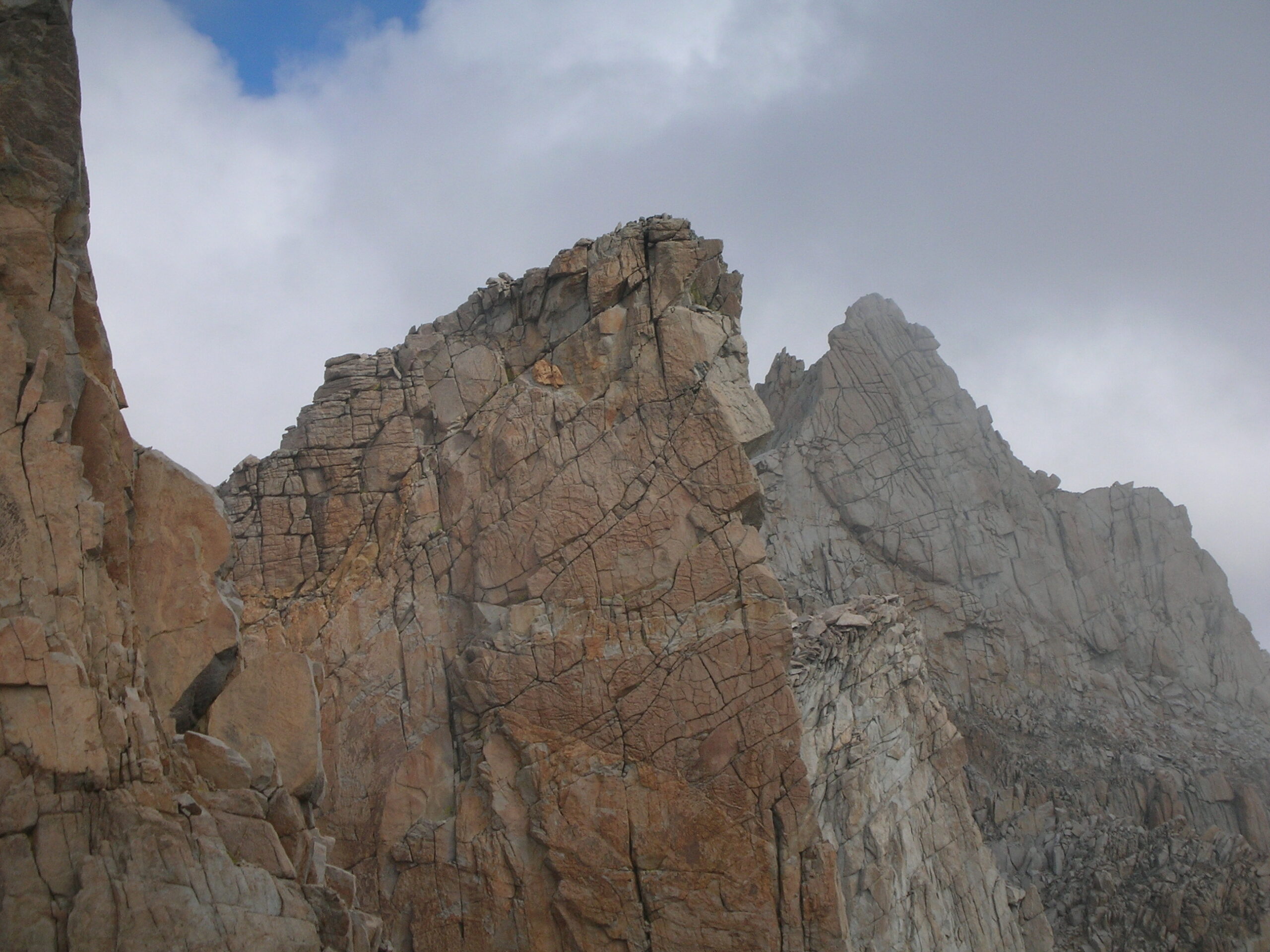
The route is a talus slope of loose rock slabs that requires boulder hopping to the peak. Atop the summit plateau is a stone shelter, a plaque, and views for miles.
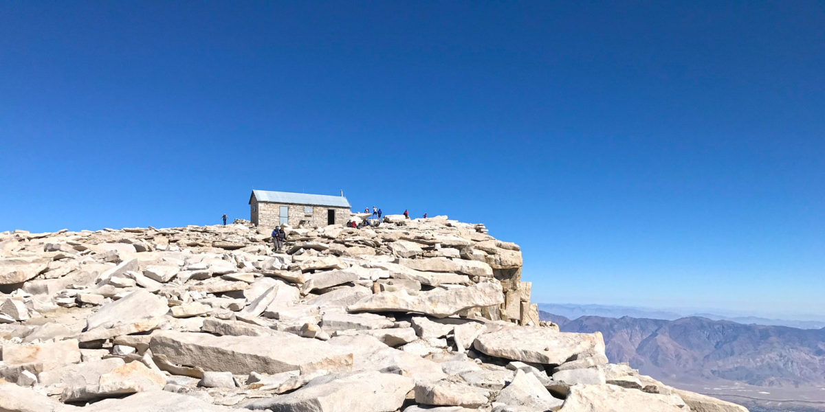
DIRECTIONS
| Take the 395 to Lone Pine and then head west on Whitney Portal Road. In 14 miles, you will reach Whitney Portal. As this is an active bear area, do not leave food or scented items in your vehicle. |
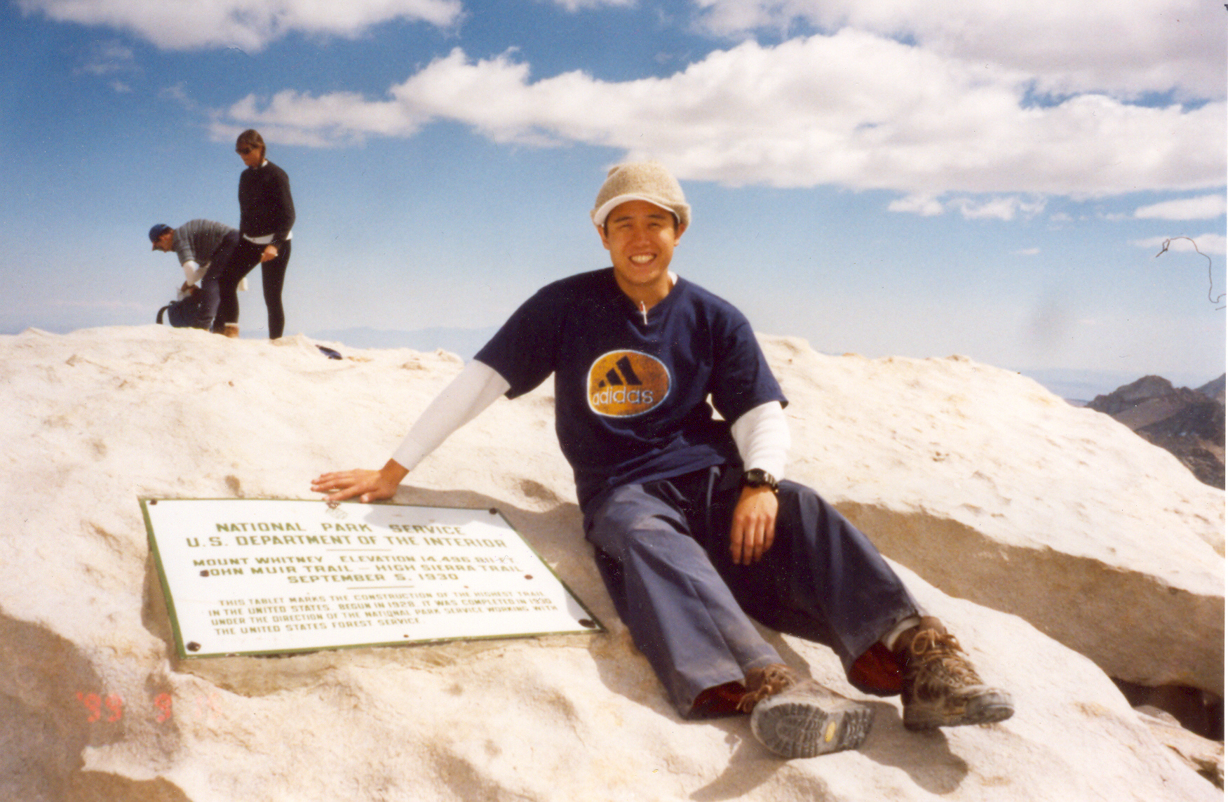
RED TAPE
For day use and overnight permits within the Mt. Whitney Zone, apply to the Mt. Whitney Lottery between February 1st and March 1st on recreation.gov. They post results on March 15th. If you win the lottery, you must pay the $15 per person reservation fee by April 21st to claim your awarded date.
VIDEO TOUR OF MT. WHITNEY
INTERACTIVE MAP
TREK STATISTICS
| From | To | Altitude (ft) | Distance (miles) | Gain (ft) |
| Whitney Portal | Lone Pine Lake | 9,960 | 2.8 | 1,595 |
| Lone Pine Lake | Outpost Camp | 10,360 | 1.0 | 400 |
| Outpost Camp | Mirror Lake | 10,640 | 0.5 | 280 |
| Mirror Lake | Trail Camp | 12,039 | 2.0 | 1,399 |
| Trail Camp | Trail Crest | 13,777 | 2.2 | 1,738 |
| Trail Crest | JMT Junction | 13,480 | 0.5 | -297 |
| JMT Junction | Summit | 14,505 | 2.0 | 1,025 |
| One-Way Round-Trip |
11 miles 22 miles |
6,140 feet |
FREQUENTLY ASKED QUESTIONS
Difficulty |
| How long does it take to hike to the top of Mount Whitney? It takes 12 to 18 hours to hike to the summit of Mt. Whitney and back down to Whitney Portal. |
| How hard is it to climb Mount Whitney? The Mount Whitney Trail gains 6,140 feet over 11 miles one-way to the summit at 14,505 feet. |
| What time should you start your climb on Mt. Whitney? This will require an alpine start in the middle of the night. Most people begin climbing from Whitney Portal from midnight to 4 am with a goal of summitting by noon. You’ll need a headlamp and warm clothing to navigate the dark switchbacks. Most return by late afternoon or early evening. |
Planning |
| Do I need a permit? For day use and overnight permits within Mt. Whitney Zone, apply to the Whitney Lottery between February 1st and March 1st on recreation.gov. They post results on March 15th. If you win, you must pay the $15 per person reservation fee by April 21st to claim your awarded date. |
| If I climb Whitney in one day, where can I sleep? You can reserve a campground at Whitney Portal before your alpine start. The camp has paved roads, parking, vault toilets, and drinking water. Bears roam the camps regularly and will search your car if they smell something. Use the bear-proof food storage lockers.Or, stay in a motel in Lone Pine. |
| How do you get to the trailhead? From Lone Pine on the 395, head west on Whitney Portal Road. It is a 14-mile drive through the Alabama Hills to Whitney Portal. |
| What other routes are there on Mount Whitney? The Mountaineer’s Route on Whitney is a very dangerous and steep Class 3 scramble. Do not attempt it unless you have advanced rock climbing, snow travel, and ice axe self-arrest skills. It is a steep, direct, and non-mainstream alpine climb spanning roughly 9-10 miles round-trip with over 6,100 feet of elevation gain. It features a strenuous cross-country approach via the North Fork of Lone Pine Creek, a high-altitude basin near Iceberg Lake, and a final ascent up a 39-to-45-degree granite couloir that transitions from Class 2 scrambling to Class 3 rock near the summit ridge. In winter or early spring, you will need to bring crampons and an ice axe. |
Training |
| How do you avoid altitude sickness? 1. Pace yourself to preserve your energy and help your body adapt. 2. Try and sleep a couple nights at Whitney Portal campground. 3. Drink plenty of water throughout the climb. |
| When is the best time to climb Mount Whitney? From July to September, the trail is clear of snow and ice and the weather is relatively warm. Afternoon thunderstorms are common, so reach the summit before noon and then descend. |
| How do you prepare for Whitney? Build your cardio base. Run three times a week, with a long run up to at least 10 miles. Then, start hiking on trails that approximate the distance, elevation gain, and altitude of Whitney. Climb the following training hikes, in this order: * Mount Wilson * Cucamonga Peak * Mt. Baden-Powell * Mt. Baldy * San Jacinto * San Gorgonio |
KEEP HIKING!
Hike on trails similar to the distance, elevation gain, and altitude of Whitney. For a good training plan in SoCal, check out the following hikes.
Hike Cucamonga Peak via Icehouse Canyon | San Gabriel Mountains Trail Guide
Hike Mt. Baldy via Ski Hut and Devil’s Backbone | San Gabriel Mountains Trail Guide