| Distance: 11 miles (clockwise loop) |
Elevation Gain: 3,800 feet |
Peak Elevation: 10,064 feet |
| Objective: Summit Mt. Baldy via Ski Hut Route and Descend Devil’s Backbone, San Gabriel Mountains, California | Difficulty: Strenuous |
|
Baldy is one of 57 ultras in the US. (An ultra peak has at least 1,500 meters of topographic prominence.) There are a number of ways to approach Mount Baldy. You can take the Bear Canyon Trail, the Ski Hut route, or the Devil’s Backbone. Why not combine some of the routes into a big loop? In this clockwise loop, you take the Ski Hut Trail to the summit. Then you descend the Devil’s Backbone to the Notch, and take the fireroad back to the trailhead.
| Directions to Trailhead | Directions to Summit | Manker Flat to Ski Hut | Baldy Bowl | With a Name like Baldy | Devil’s Backbone | Refuel at the Notch | Red Tape | Interactive Map | FAQ |
By Edward So, who has summited most of the peaks in the San Gabriel Mountains

Directions to Trailhead
| Head east on the 210, and exit Baseline Road in Claremont. Turn left on Baseline Road. Make a right on Padua Avenue and continue for 1.8 miles. Turn right onto Mt. Baldy Road and drive for 11.5 miles past Mt. Baldy Village. Make a left at Falls Road. Turn left again at Mt. Baldy Road and find parking on the side of the street above Manker Flat campground. |
Directions to Summit
| Start: Begin at Falls Road and head past the gate. 0.5 miles: At the waterfall lookout, the Baldy fire road begins. 1.0 mile: At the junction, turn left up the steep Baldy Bowl Trail. 2.6 miles: After the Ski Hut, the trail reaches the ridge and ascends to the summit. 4.5 miles: You have reached Mt. Baldy. Follow the Devil’s Backbone Trail. 7.5 miles: Baldy Notch is at the top of the ski lift. 11 miles: You have returned to the trailhead. |
Manker Flat to Ski Hut
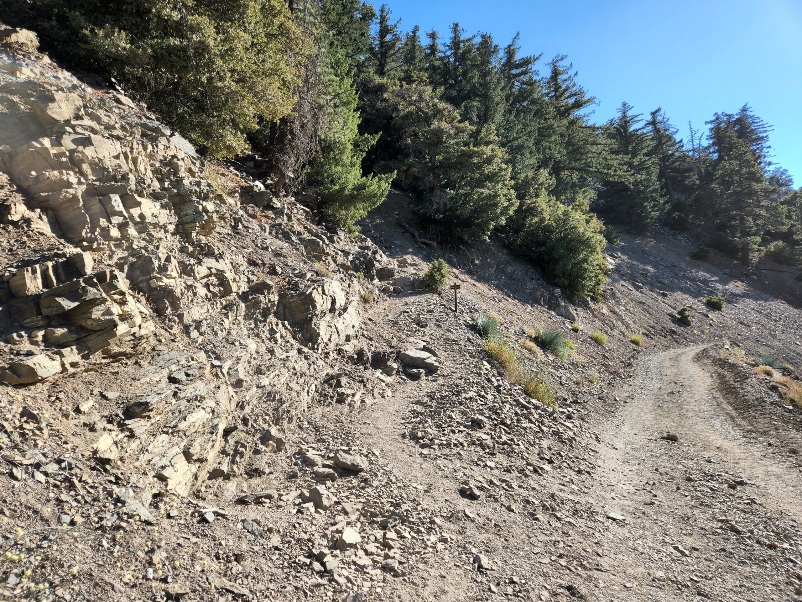
At the end of Falls Road, the path makes a big U-turn at San Antonio Falls. Later along the fire road, you need to look closely for the Baldy Bowl Trail junction. The narrow trail climbs north straight up the side of San Antonio Canyon.
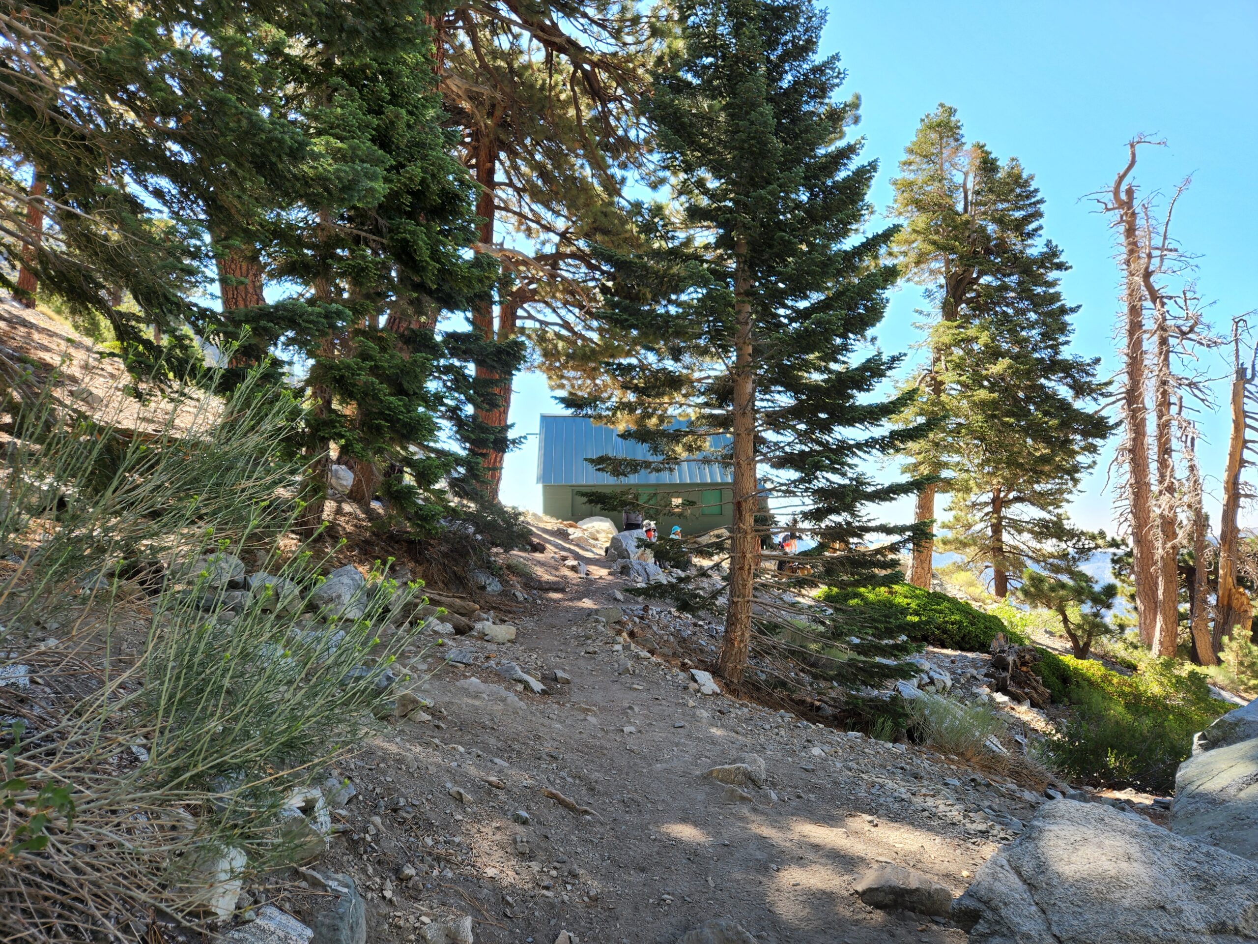
After crossing the spring, a spur trail leads to the Ski Hut by the base of the Baldy Bowl. (Try and snag a reservation when the Ski Hut is open.)
Baldy Bowl
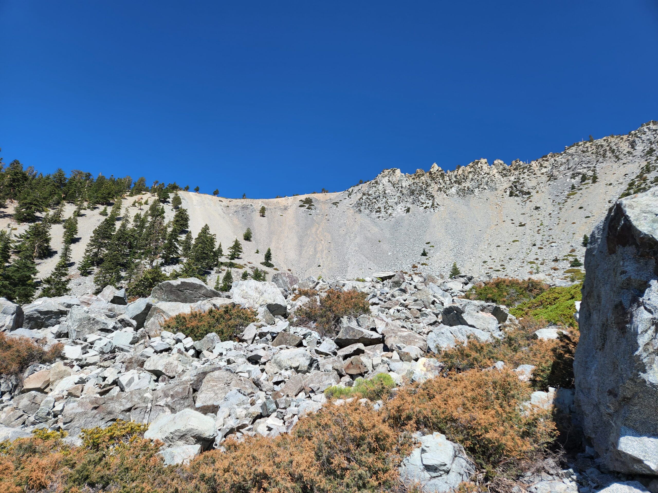
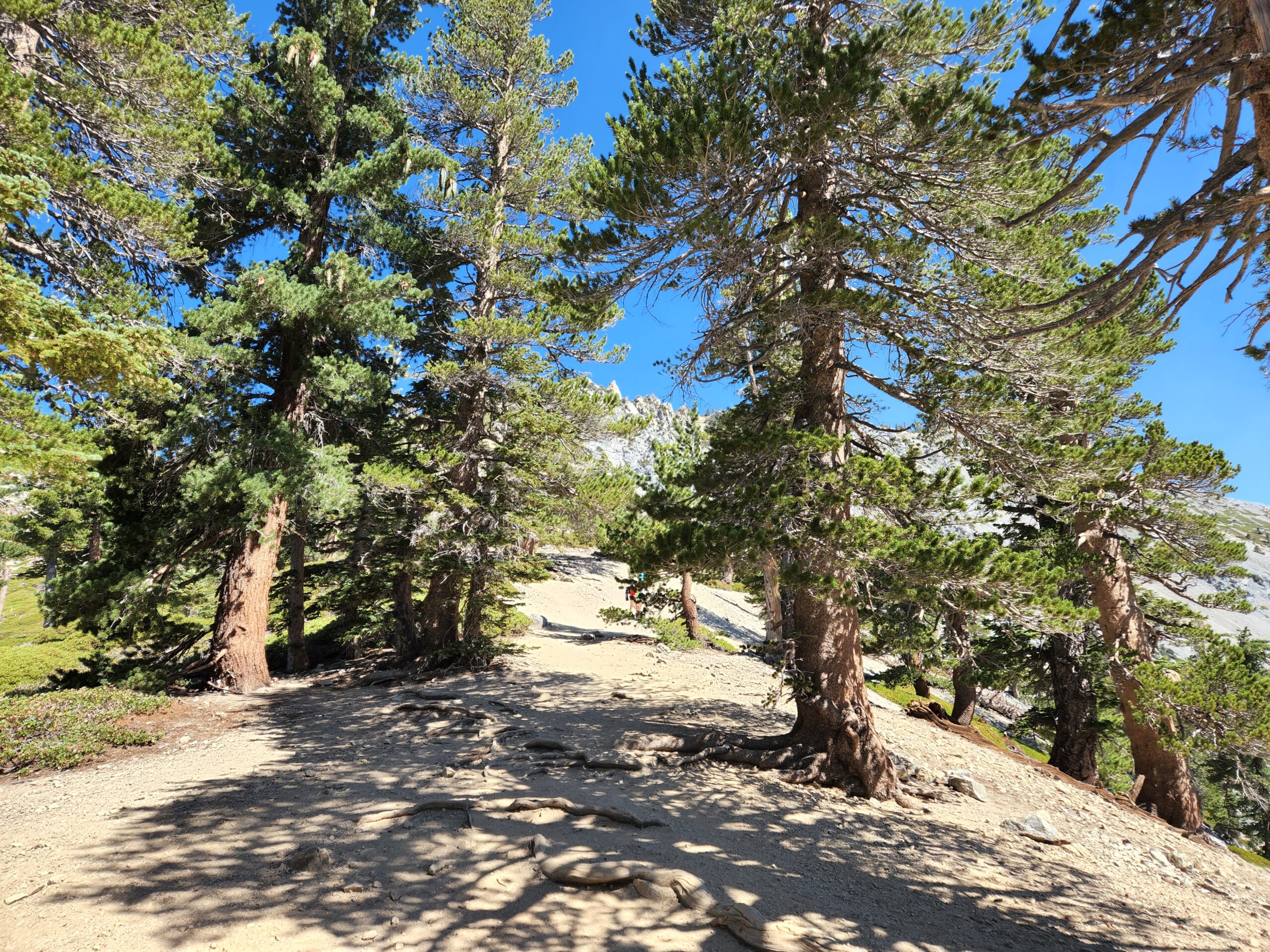
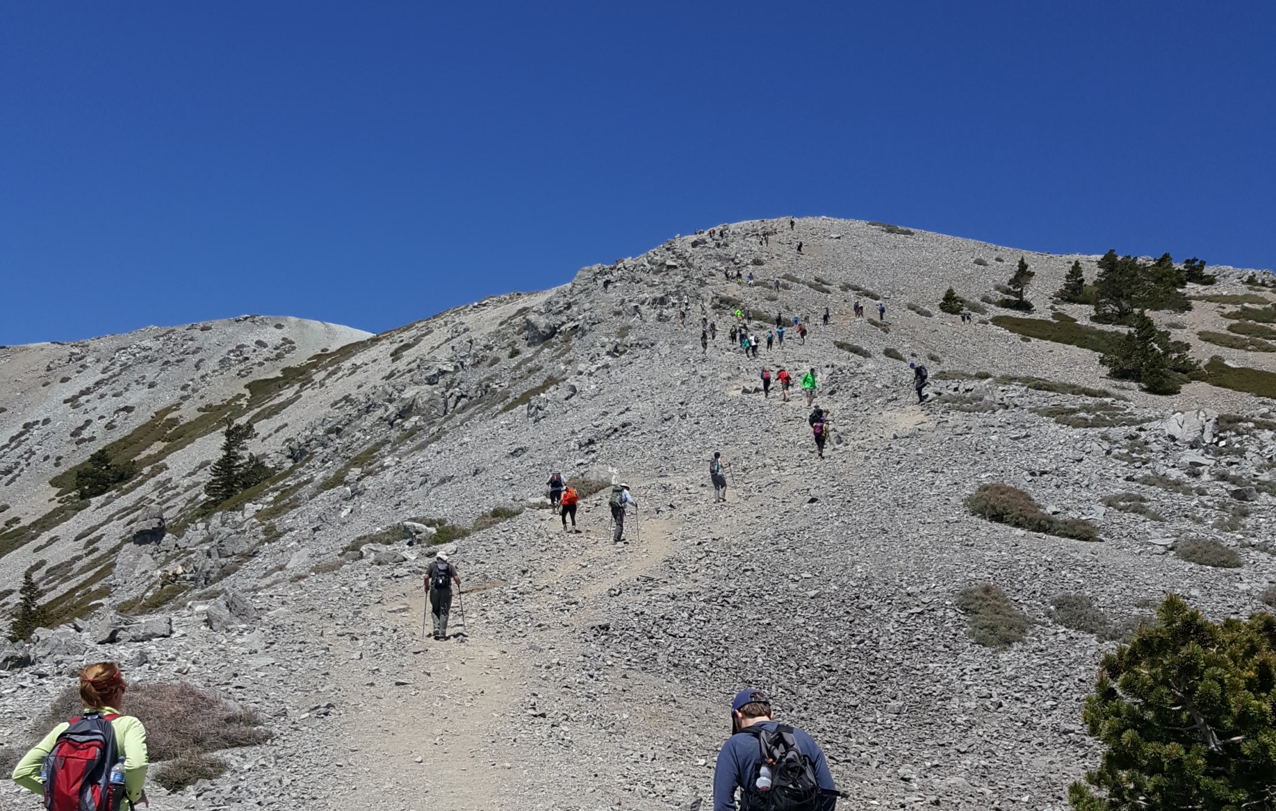
Above the Ski Hut, the trail hits a rocky patch. It then ascends over a dozen little switchbacks at the western edge of the Baldy Bowl. Upon gaining the ridgeline, there is a mile-long final push to the top of the summit.
With a Name like Baldy
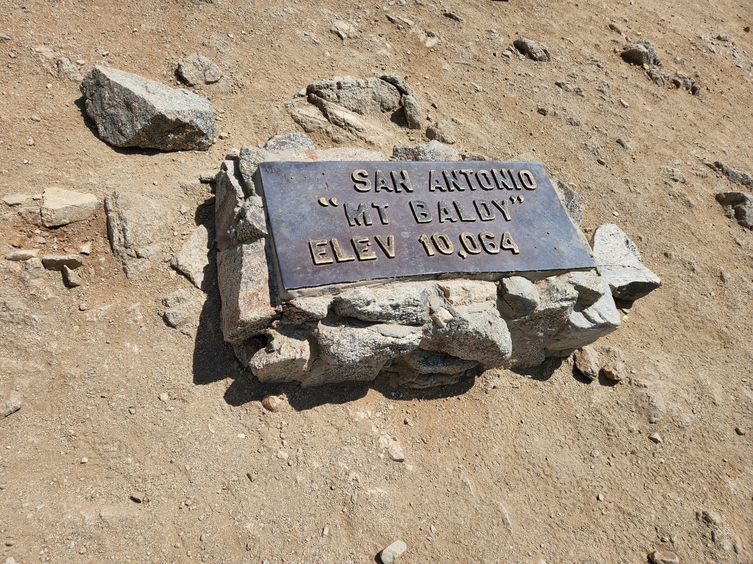
Mount San Antonio is known as “Baldy” because there are no trees on the bare southern face of the mountain. At the peak, there are some windbreaks next to the famous metal summit plaque. From here, you can enjoy views of the other high peaks of the back range of the San Gabriel Mountains.

Devil’s Backbone
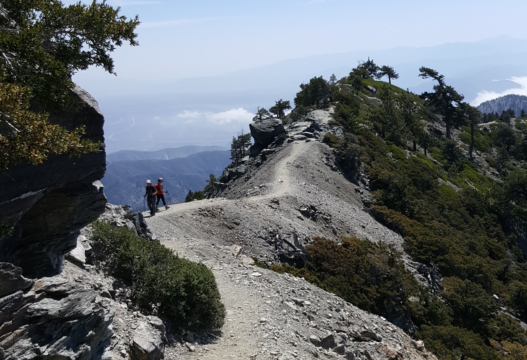
As you descend to the east, the route splinters into several steep use trails. When the path levels off, the Devil’s Backbone Trail becomes a narrow ridgeline spine with significant drop-offs on each side.
Refuel at the Notch
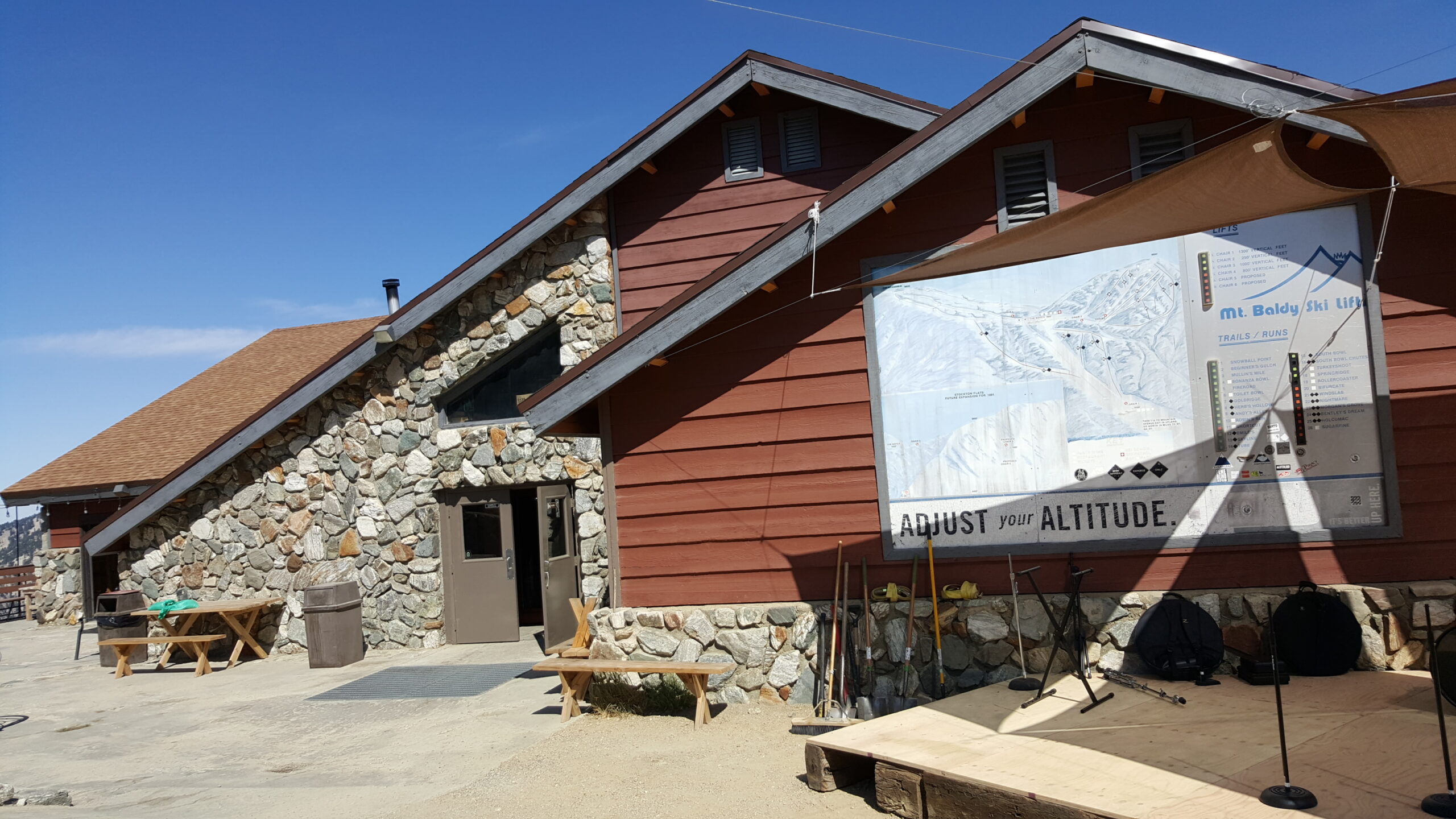
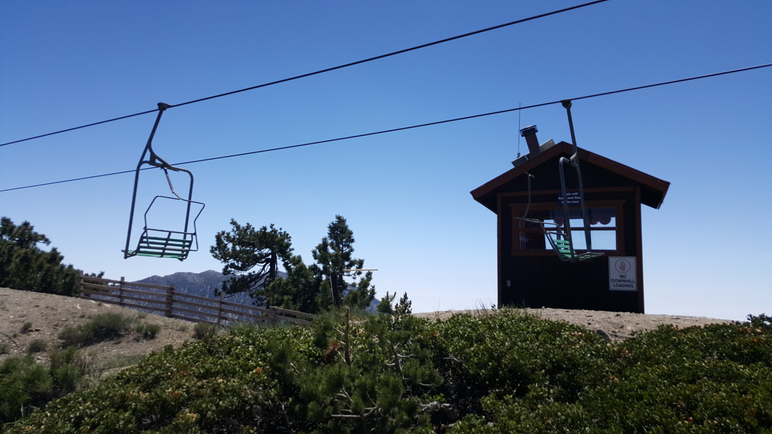
All of a sudden, you see Baldy Notch. The Top of the Notch restaurant and bar is in a perfect place to rest and refuel. From the Notch, you can cheat and take the ski lift down. Otherwise, the way back is a wide and level fire road back to the trailhead.
Red Tape
If you park at the Ski Lift parking lot, you must purchase a $5 parking pass. To park on the roadside, you need an Adventure Pass for each vehicle.
Interactive Map
Frequently Asked Questions
| How long does it take to hike the Baldy Ski Hut to Devil’s Backbone loop? Most hikers complete the loop round trip in 5-8 hours as a strenuous day hike. What is the elevation gain on the Ski Hut Trail? How hard is the Mt. Baldy Devil’s Backbone descent? Can I take the ski lift to skip part of the hike? When is the best time to hike Mt. Baldy? |
Other Routes to Baldy
If time is limited, hike the Ski Hut route as an out and back. Or climb the Devil’s Backbone as an out and back, with or without the ski lift.
Hike Mt. Baldy via Ski Hut Route | San Gabriel Mountains Trail Guide
Hike Mt. Baldy via Devil’s Backbone from Baldy Notch | San Gabriel Mountains Trail Guide