
| Distance: 8 miles (out and back) |
Elevation Gain: 2,807 feet |
Peak Elevation: 9,407 feet |
| Objective: Summit Mt. Baden-Powell, San Gabriel Mountains, California |
Difficulty: Strenuous |
|
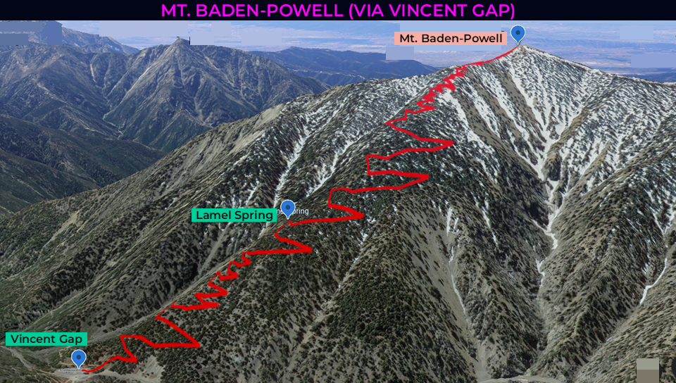
The route from Vincent Gap is the most direct path to the summit of Mt. Baden-Powell. It steadily climbs 40 switchbacks up the north face. Look for Wally Waldron, a 1,500 ancient limber pine on the ridgeline just before the final summit push. If you’re training for Mt. Whitney, Baden-Powell is one of the best conditioning hikes in the San Gabriel Mountains.
By Edward So, who has summited most of the peaks in the San Gabriel Mountains
| Directions to Trailhead | Directions to Summit | Zig and Zag to the Ridge | Wally Waldron Tree | Monuments to Baden-Powell | Red Tape | Factoids | Interactive Map | FAQ |
Directions to Trailhead
| From the 210 East in La Cañada, drive 50.3 miles on Angeles Crest Highway (CA-2). Park at the Vincent Gap parking lot. There is access to several trails and a toilet. The trailhead is at the western corner of the lot. |
Directions to Summit
| Trailhead: From Vincent Gap, the hike begins on the Pacific Crest Trail (PCT). 0.9 miles: You can take a break at the bench. 1.8 miles: At the junction with the Lamel Spring trail, keep to the right to stay on the PCT. 3.7 miles: The switchbacks end at the ridgeline. 3.8 miles: At the junction with the PCT, turn left to follow the use trail to the top. 4 miles: You have reached Mt. Baden-Powell. Turn around and head back. |
Zig and Zag to the Ridge
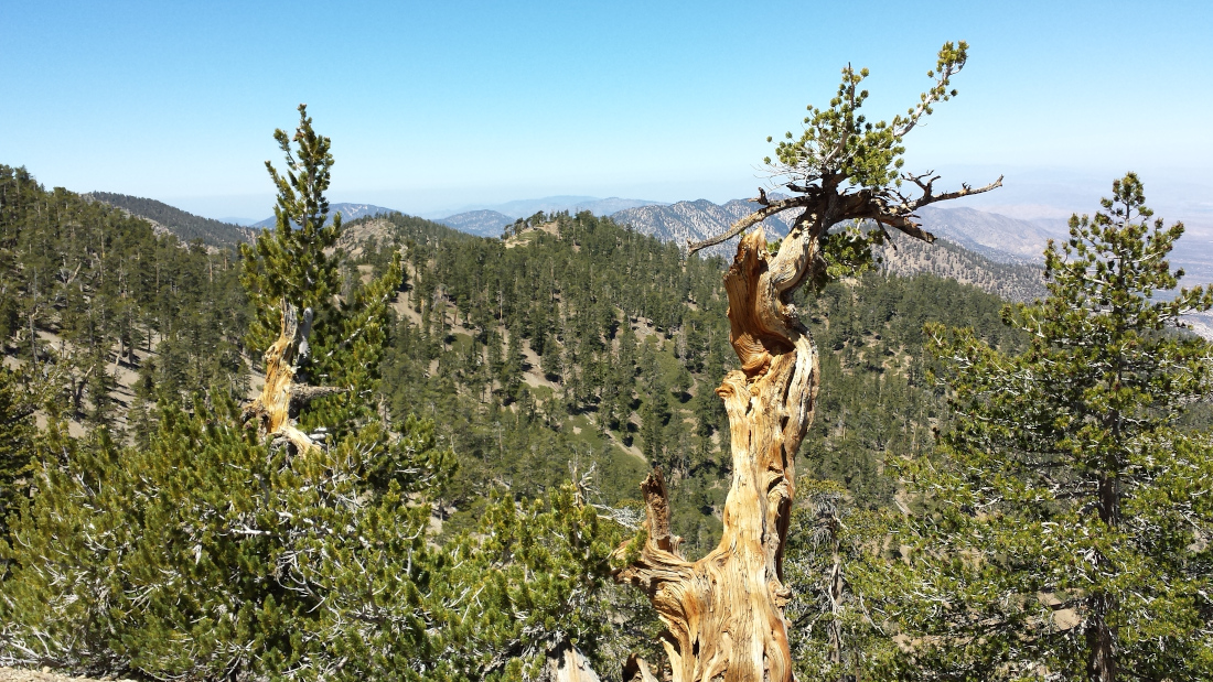
The approach to the summit is rather straightforward via a series of 40 switchbacks along the Pacific Crest Trail. After about a mile, a bench sits on the left side of a switchback. At the midpoint, there is a 200-yard spur trail leads to Lamel Spring, the only source of water on the route.
Wally Waldron Tree
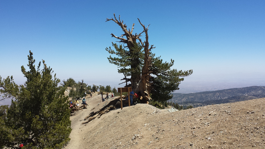
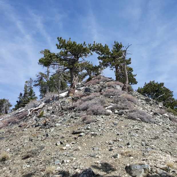
The switchbacks end at the ridgeline. The ridge remains level until the start of the use trail to the peak. At this point, you will see the Wally Waldron Tree, a wizened 1,500-year-old limber pine.
What is a limber pine? This hardy, slow-growing tree thrives on rocky, windswept slopes at high elevations. Some limber pines live for more than 2,000 years.
Who was Wally Waldron? Waldron served on the executive board of the Los Angeles area council of the Scouts. The limber pine near the summit trail bears his name.
Monuments to Baden-Powell
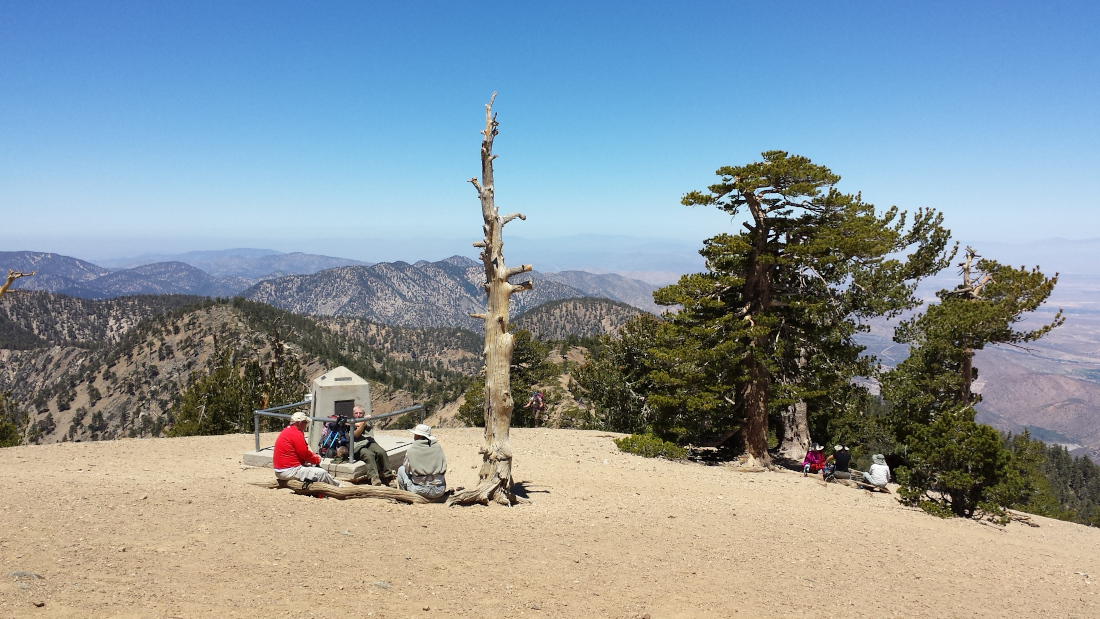
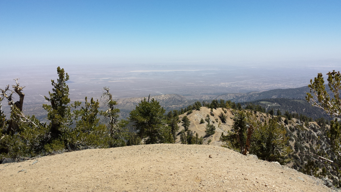
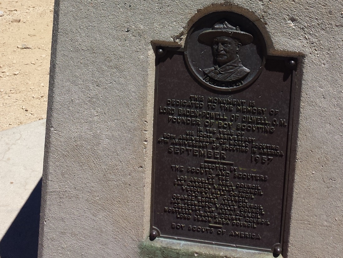
The switchbacks on this trail are no joke. From the ridge, it is a short but steep final push to the summit. On the summit plateau stand a survey pole and a monument to Lord Baden-Powell. Local Southern California Scout councils built the monument in 1957 to honor Baden-Powell and commemorate Scouting’s 100th jubilee. From the fifth-highest peak in the San Gabriels, you have sweeping views of Baldy and the other high peaks of the back range.
Red Tape
Display your adventure pass. This stretch of the Angeles Crest Highway is usually closed in the winter.
Factoids
Lord Baden-Powell was the founder of the international Scouting movement.
Interactive Map
Frequently Asked Questions
| How long does it take to hike to the summit of Baden-Powell? |
| Most hikers reach the summit in 3 to 5 hours, making Baden-Powell a rewarding half-day climb from Vincent Gap. |
| What is the elevation gain? |
| The route gains roughly 2,807 feet over 4 miles one-way to the 9,407-foot summit. It is one of the more demanding day hikes in Southern California and a great training hike for Whitney. |
| When is the best time to hike to Baden-Powell? |
| Late fall (September through November) or late spring (May through June) is the best time to hike Bighorn Peak. This avoids the extreme heat of summer since there is little shade on the trail. In winter, there’s plenty of snow and ice along the ridgelines, which will require technical mountaineering skills, snowshoes, cramp-ons, and an ice axe. Avoid these conditions unless you are prepared. This stretch of the Angeles Crest Highway is usually closed in the winter. |
| Where do you park for this hike? |
| Park at the Vincent Gap trailhead on Angeles Crest Highway (CA-2). The trail to Mt. Baden-Powell begins directly from the parking area. |
| What permits, fees, or reservations are required? |
| Display your adventure pass. |
Nearby Peaks
If you are in the mood for more peakbagging, here are some nearby peaks.
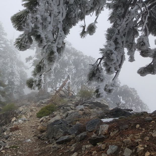
Mt. Burnham (via Dawson Saddle)
6.4 miles | 8,997′ | 2,100′ gain
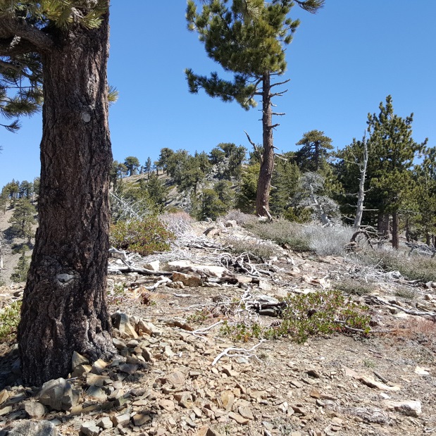
Throop Peak (via Islip Saddle)
10 miles | 9,138′ | 2,409′ gain
Mt. Hawkins (via Islip Saddle)
8.4 miles | 8,850′ | 2,200′ gain