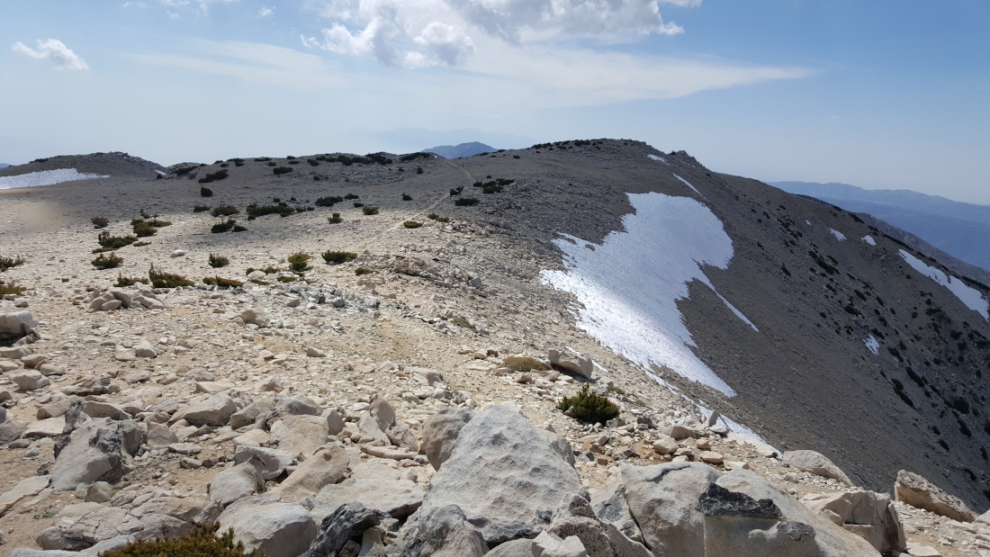
| Distance: 18.6 miles (out and back) |
Elevation Gain: 5,400 feet |
Peak Elevation: 11,503 feet |
| Objective: Summit San Gorgonio Mountain via Vivian Creek, San Bernardino Mountains, California | Difficulty: Strenuous |
|
| Cautions: Altitude sickness, lightning |
Best Months: July to September |
Permits: Wilderness permit |
San Gorgonio Mountain, aka Old Greyback, is the highest mountain in Southern California. It is also one of the Three Saints, along with Mt. San Antonio (Baldy) and San Jacinto Peak. Climbing to the top of San Gorgonio is a great achievement and one of the toughest hikes in SoCal. It’s the seventh most prominent ultra in the US Lower 48. It’s also a good training hike for Whitney. The Vivian Creek Trail is the steepest, most direct day hike route to the top. If you want to make this an overnight trip, there are many campsites from which to choose. You need to train for this. To prepare for San Gorgonio, first hike Cucamonga Peak. Then, hike San Jacinto and Baldy for practice at a similar altitude and distance. Climb San Gorgonio between July and September and bring at least three liters of water.
By Edward So, who has summited over a hundred peaks in SoCal
Map

Directions to Trailhead
| From the 10 E at Redlands, take exit 79. Continue east on W Pearl Avenue for 0.2 miles. Turn left at Orange Street and drive 0.6 miles. Turn right onto E. Lugonia Avenue (CA-38 E) and drive northeast for 13.8 miles. At an intersection, head straight onto Valley of the Falls Road. Continue for 4.4 miles to the Falls Recreation Area, past the town of Forest Falls. Drive to the parking area at the end of the road. |
Directions to Summit
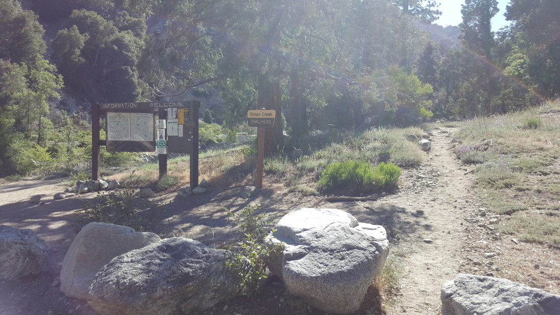
| Parking: From the parking area, walk past the locked gate along the rocky road to the trailhead. 0.51 miles: Trailhead: From the trailhead, Vivian Creek Trail begins by crossing Mill Creek Wash. 3.22 miles: At the junction with the Halfway Camp spur trail, keep left to stay on the main trail. 5.67 miles: After High Creek Camp, High Creek is the last source of potable water. 8.71 miles: At the junction, turn right onto the San Bernardino Peak Divide Trail. 8.90 miles: At the junction with Sky High Trail, keep going straight and follow the trail up to the summit. 9.30 miles: You have reached San Gorgonio Mountain. Turn around and head back. |
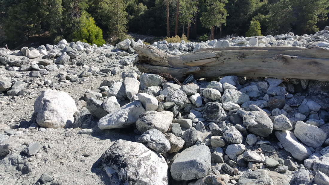
The Steepest Climb after Mill Creek Wash
From the parking area, it is half a mile along Falls Road to the trailhead. Vivian Creek Trail crosses Mill Creek Wash past large, bone dry boulders, reconnecting with the trail on the other side. The next mile is the steepest portion of the entire hike at a grade up to 24%. A few switchbacks ascend 1,000 feet out of Mill Creek Canyon. After Vivian Creek Camp, the well-groomed trail climbs to the peak at a steady grade.
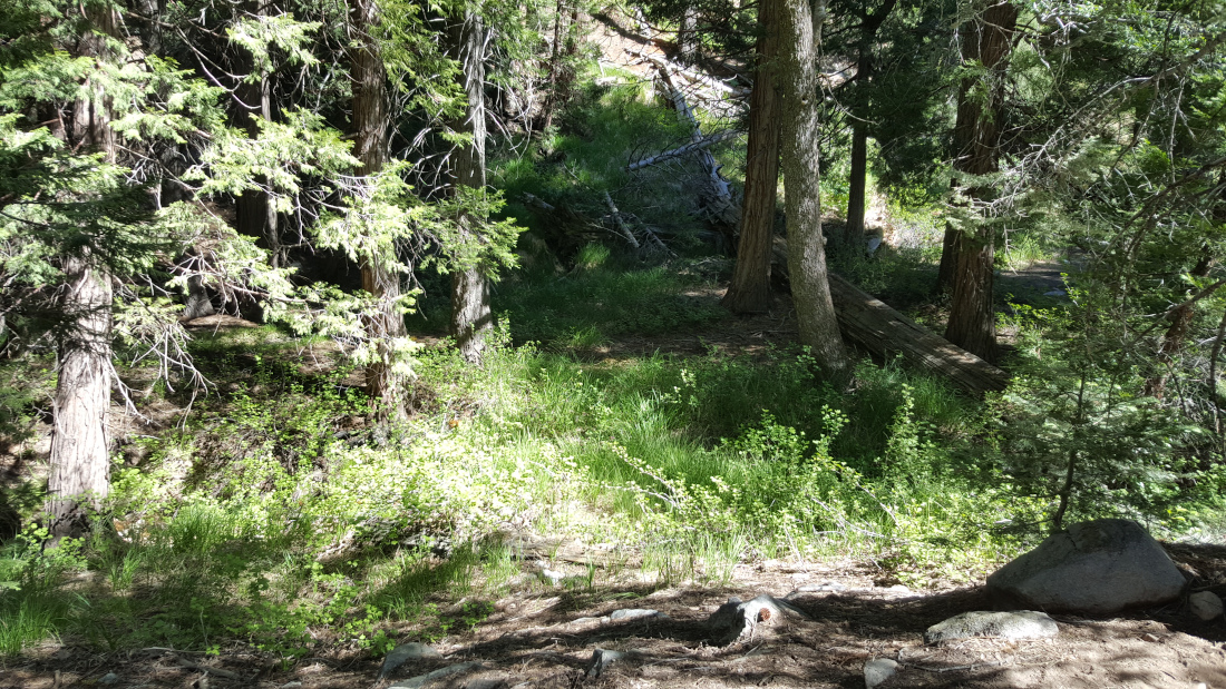
Enjoy Your Time by Vivian Creek
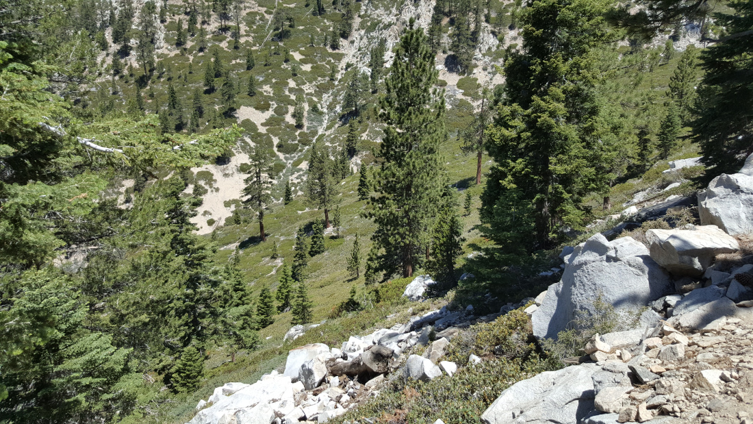
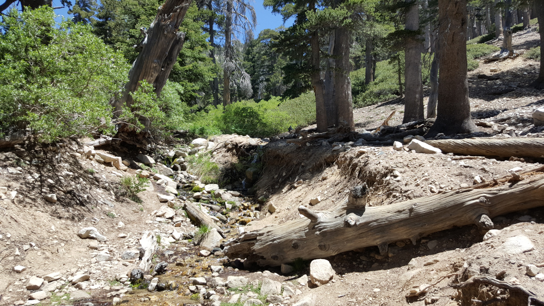
The next couple of miles are enjoyable. There is ample shade next to Vivian Creek, and the path is soft with pine needles. Some of the tree roots seem to form a staircase. Regal yellow moths with big black spots flutter next to a green chaparral slope.
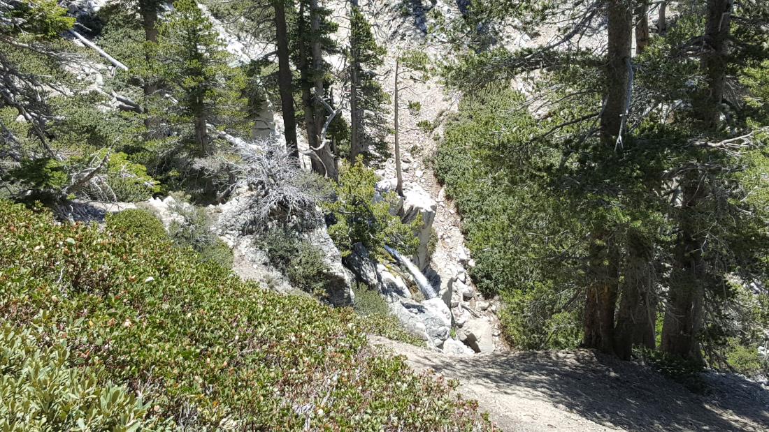
Above Halfway Camp, a manzanita hedge covers the green slope of the gully. Almost a mile later, a gentle little waterfall cascades off High Creek. At High Creek Camp, enjoy the abundant shade and the last source of potable water.
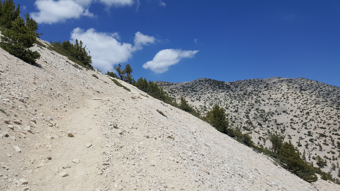
Above Tree Line on a Sunny Ridge
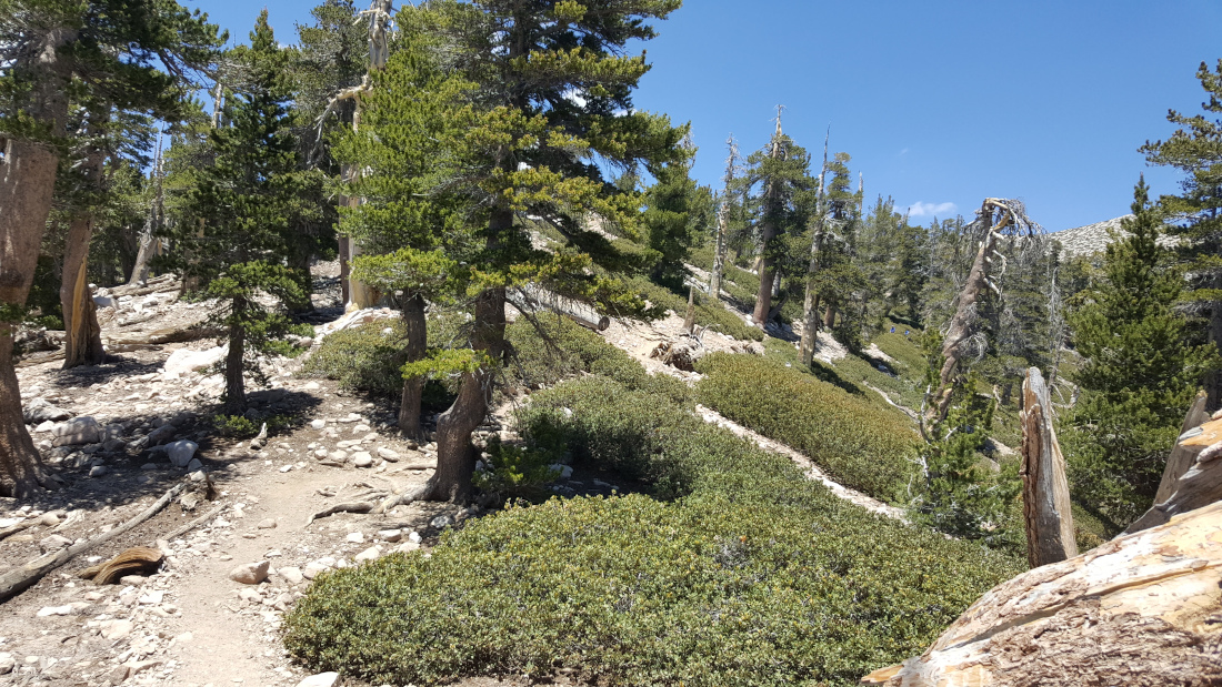
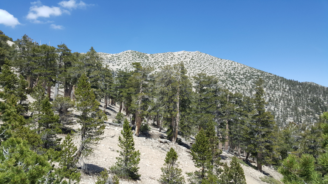
Now things are about to get spicy. A baker’s dozen of switchbacks rises with purpose to the ridge just below tree line. With just two miles to go, a bump blocks the view of the peak.
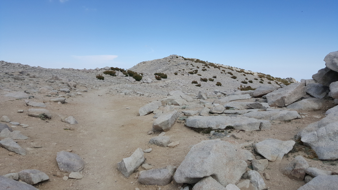
After half a mile on a sunshine ridge with a cool breeze, you will encounter a last set of switchbacks. This junior ridge leads you to 11,000 feet. In another quarter mile, you arrive at the final ridgeline of the summit.
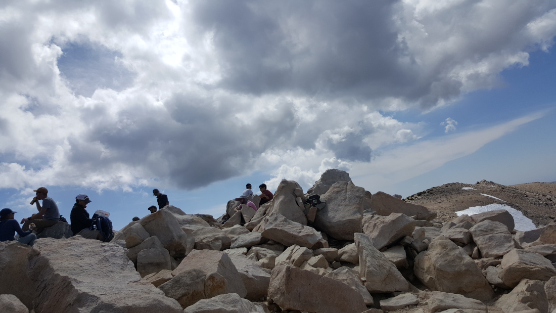
Old Greyback’s Summit Views
The summit is broad with a mound of jagged boulders at the top. With its notable prominence, you can see SoCal’s far off high peaks. On a clear day, you can see all the way to Mt. Whitney.
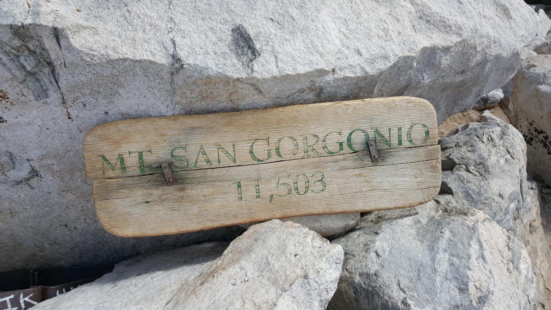
Red Tape
Display your adventure pass at the parking lot. For both day and overnight hikes, you must get a permit by filling out the online form.
Historical Factoids
Spanish missionaries named the peak after Saint Gorgonius in the early 17th century.
Video Tour of San Gorgonio Mountain
Interactive Map
Photos
Frequently Asked Questions
| How long does it take to hike San Gorgonio Mountain? Most hikers complete the Vivian Creek Trail round trip in 10-12 hours as a strenuous day hike, though many split it into an overnight backpacking trip with a stop at High Creek Camp. Do you need a permit for San Gorgonio Mountain? What is the elevation gain on the Vivian Creek Trail? Is San Gorgonio Mountain the hardest of the Three Saints? When is the best time to hike San Gorgonio? |
Other Challenging Peaks in SoCal
Consider climbing these other challenging peaks.
Hike Mt. Baldy via Ski Hut and Devil’s Backbone | San Gabriel Mountains Trail Guide