| Distance: 12 miles (out and back) |
Elevation Gain: 4,300 feet |
Peak Elevation: 8,862 feet |
| Objective: Hike Cucamonga Peak via Icehouse Canyon, San Gabriel Mountains, California | Difficulty: Strenuous |
|
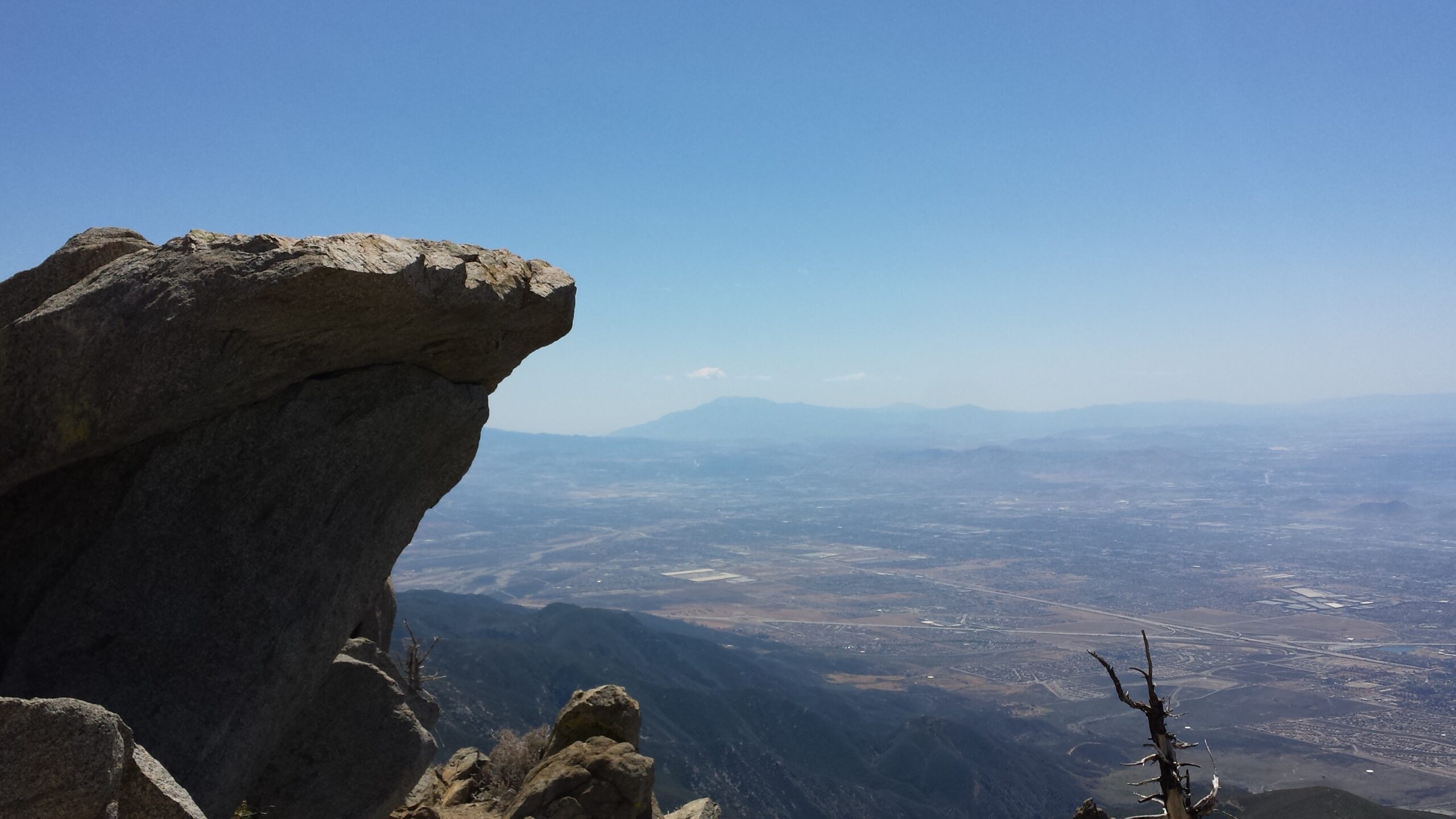
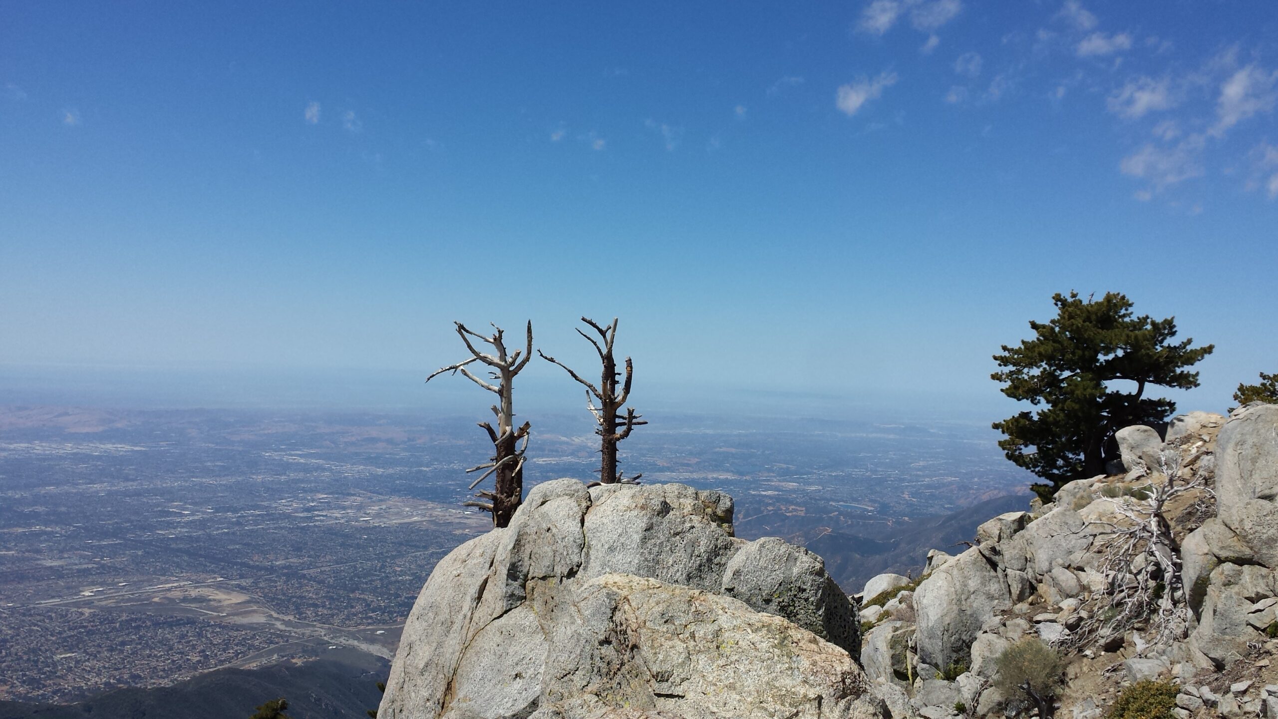
With its mix of elevation gain and distance, hiking to Cucamonga is a good starter training hike for Whitney. This trail is a challenging climb through shaded paths, some rocky terrain, and a babbling creek up Icehouse Canyon. From Icehouse Saddle to Cucamonga Peak, the vegetation and sun protection are thin. On Cucamonga Peak, you have commanding views of the surrounding back range of the San Gabriel Mountains. Also, you have views of the Inland Empire below and the vast stretch of the greater Los Angeles basin.

Directions to Trailhead
| Head east on the 210, and exit Baseline Road in Claremont. Turn left on Baseline Road. Turn right on Padua Avenue. In 1.7 miles, turn right onto Mt. Baldy Road. In 7.2 miles, go past Mt. Baldy Village. Continue 1.5 miles and turn right at Icehouse Canyon Road. The trailhead begins at the opposite end of the parking lot entrance. |
Directions to Summit
| Trailhead: The hike begins on Icehouse Canyon Trail. 1 mile: At the Chapman Trail junction, continue ahead on Icehouse Canyon Trail. 1.8 miles: There is a sign for the Cucamonga Wilderness. 2.4 miles: Columbine Spring is on the north slope above the canyon. 3 miles: At the second Chapman Trail junction, keep right to stay on Icehouse Canyon Trail. 3.6 miles: At Icehouse Saddle, choose the Cucamonga Peak Trail. A little bit later at the Middle Fork Trail, stay on the Cucamonga Peak Trail to the right. 4.4 miles: After going around Bighorn Peak, the trail reaches Cucamonga Saddle. 6 miles: There is a sign just below the spur trail to the top. You have reached Cucamonga Peak. Turn around and head back. |
Icehouse Canyon
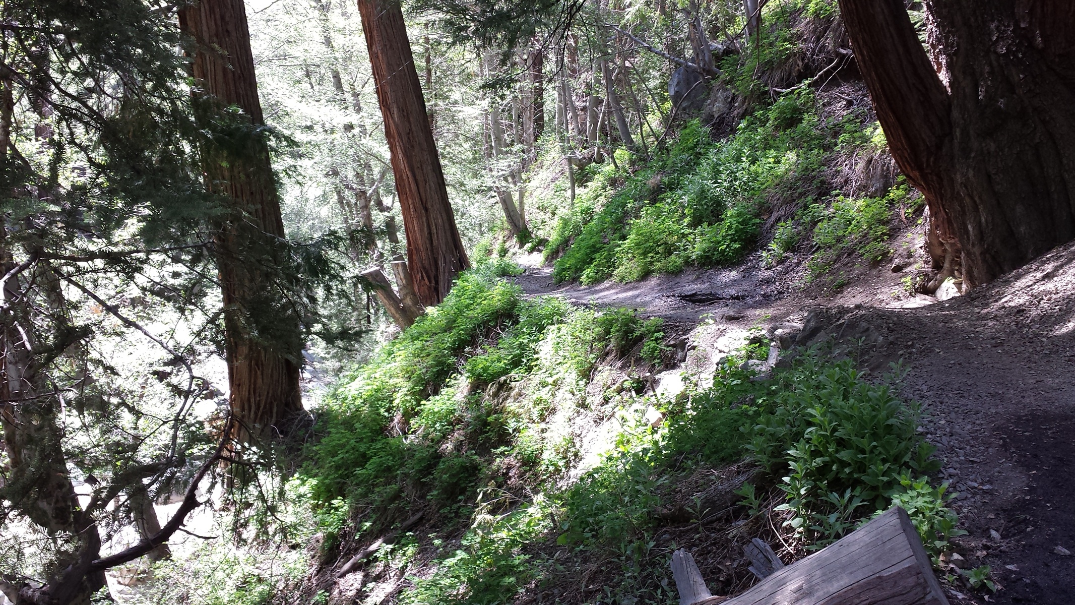
The Icehouse Canyon Trail begins by following a stream next to cabins and cabin ruins. In a mile, Chapman Trail splits off the main trail into Cedar Canyon. After crossing the creek, the trail gently climbs to the Cucamonga Wilderness sign and a giant boulder. There is a rocky boulder field. Then, the trail begins a long climb up the side of the canyon, with some switchbacks just below Icehouse Saddle.
Icehouse Saddle
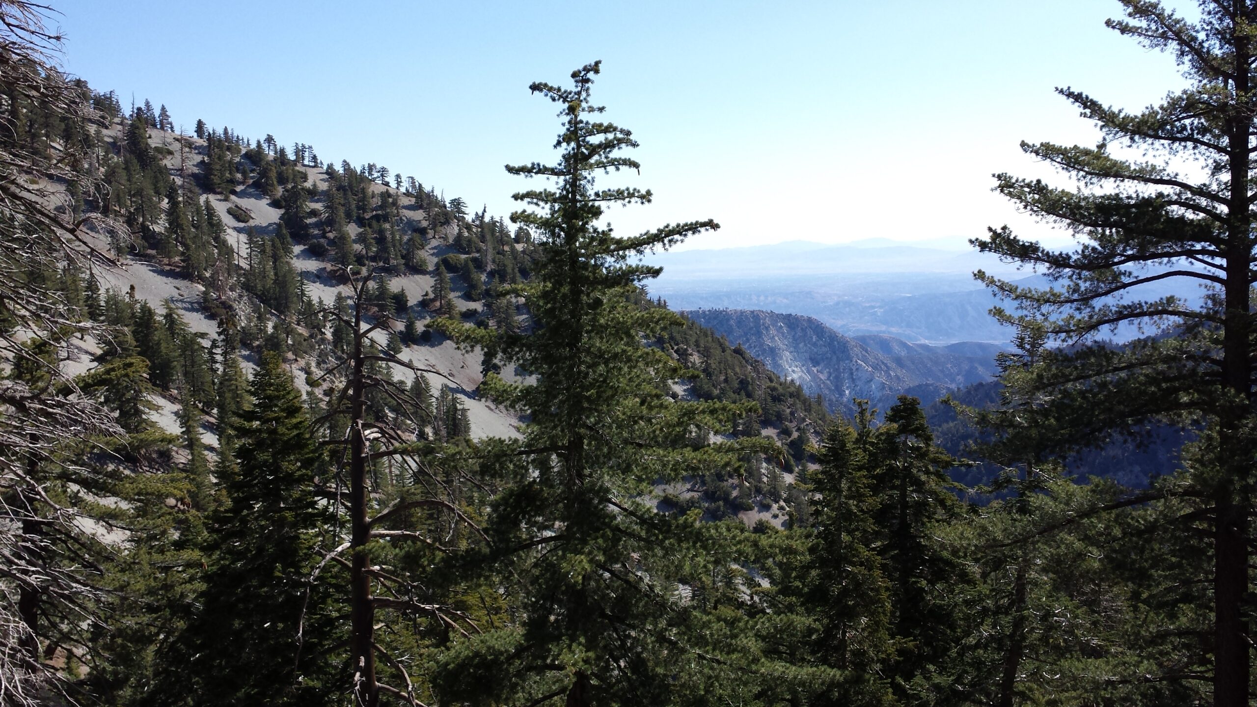
Overcoming the switchbacks is a relief and the saddle is a great spot for a break (or a snack). From Icehouse Saddle, you can see the neighboring peaks. The saddle is at a crossroads of six trails.
Cucamonga Saddle
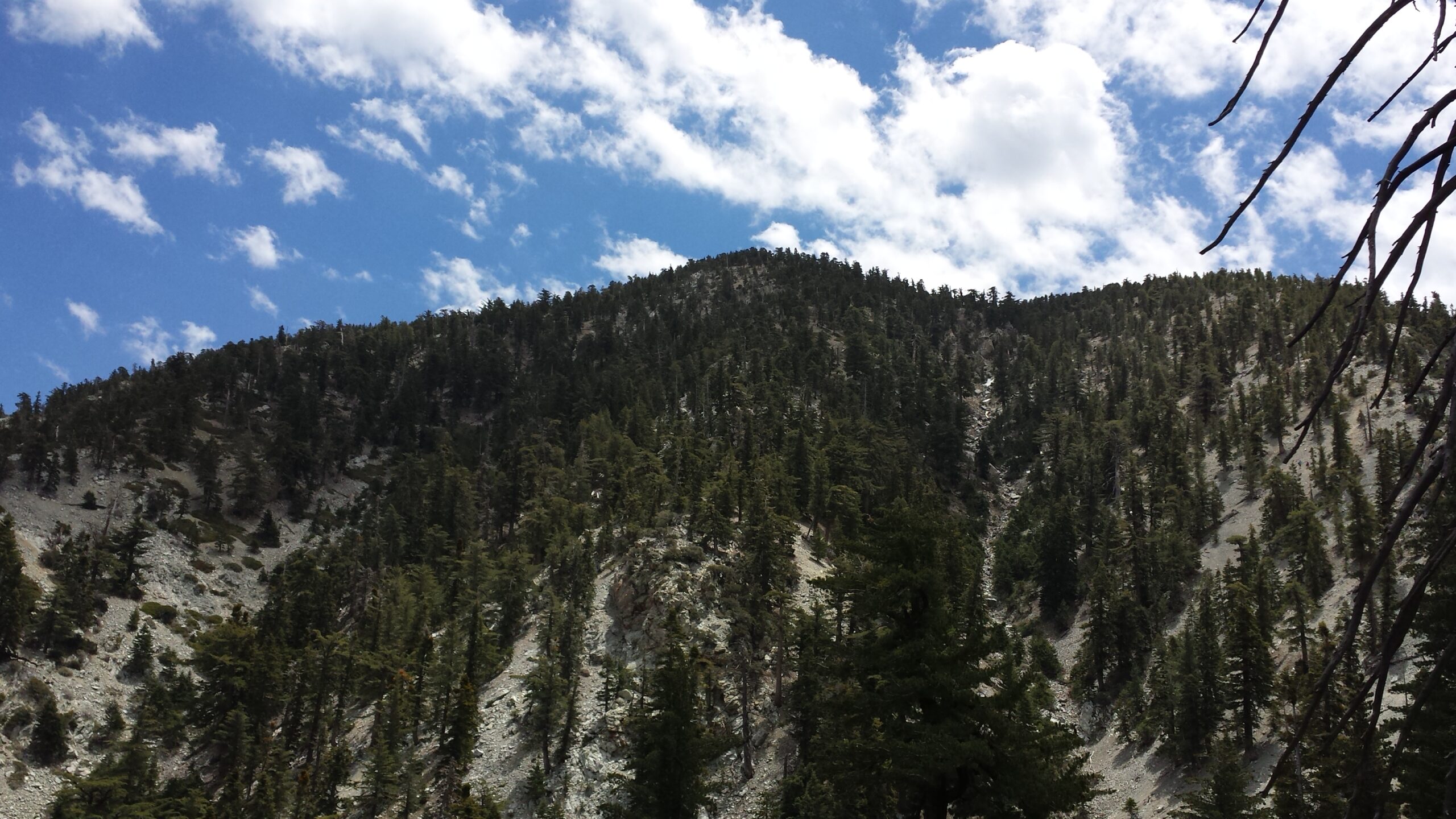
Make sure to head southeast on the Cucamonga Peak Trail. The Cucamonga Peak Trail wraps around the eastern flanks of Bighorn Peak and dips a bit to Cucamonga Saddle. From the saddle, the trail ascends a dozen short but steep switchbacks.
Cucamonga Peak
After one last turn, there is a wooden post below the spur trail that shoots straight up to the peak. At the top, there is a photogenic rock formation that looks like an eagle’s beak. From this perch, there are spectacular views of the greater Los Angeles basin.
Factoids
In the 1860s, an ice plant in lower Icehouse Canyon supplied ice to valley residents. The name still applies as a cold breeze often blows through the canyon.
Red Tape
Display your adventure pass at the parking lot. Fill out a Self-Service Wilderness Permit at the trailhead kiosk.
Nearby Peaks
If you are in the mood for more peakbagging, here are some nearby peaks.
Hike Bighorn Peak via Icehouse Canyon | San Gabriel Mountains Trail Guide