| Distance: 5.6 miles (out and back) |
Elevation Gain: 1,238 feet |
Peak Elevation: 8,038 feet |
| Objective: Summit Waterman Mountain, San Gabriel Mountains, California |
Difficulty: Moderate |
|
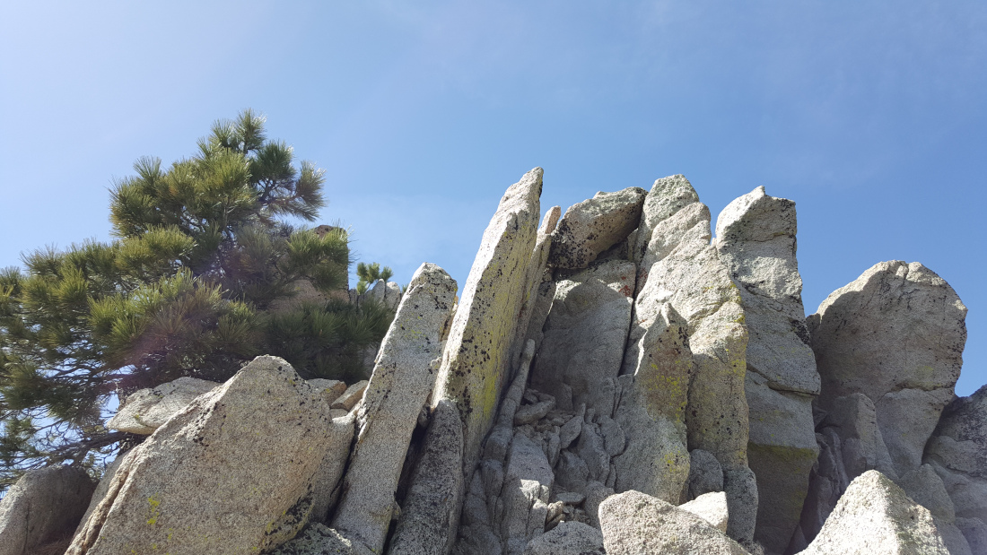
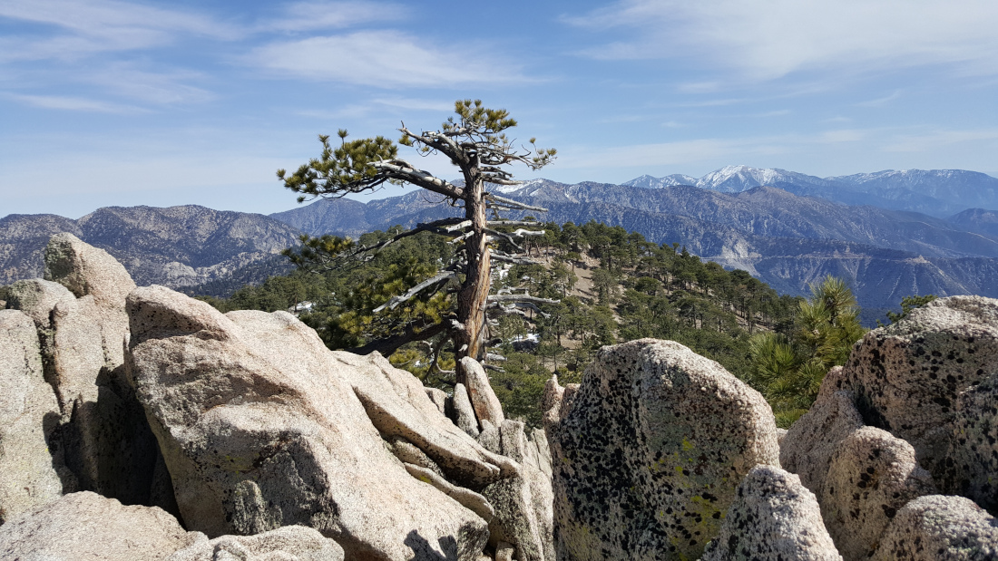
At the top of Waterman Mountain, there are some granite slabs and spires that you must scramble on. Keep climbing until you see the benchmark. The summit is on the northern edge of the San Gabriel Wilderness. Wilderness areas have been set aside to preserve their wilderness character and development is prohibited.
By Edward So, who has summited most of the peaks in the San Gabriel Mountains
| Directions to Trailhead | Directions to Summit | Start by Ski Lifts | Snow Ridge | Waterman’s Flat Plateau | Factoids | Red Tape | Interactive Map | FAQ |
Directions to Trailhead
| From the 210 East in La Cañada, drive 33.8 miles on Angeles Crest Highway (CA-2). Continue until you pass the Mt. Waterman ski lift on the right. Park at the Buckhorn Day Use Area parking lot on the left. |
Directions to Summit
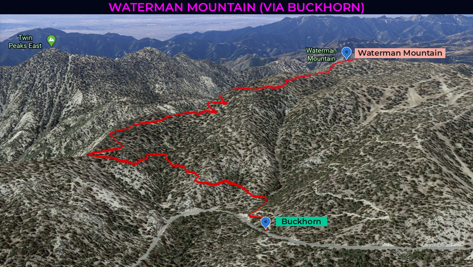
| Trailhead: From the parking area, cross the road and walk southeast about 200′ to a gated dirt road. 0.1 miles: At the first junction, take the left fork and head south on the Waterman Mountain Loop trail. 0.9 miles: The trail takes a big turn and heads west. 1.6 miles: The trail reaches the first of a few switchbacks. 2 miles: At the second junction, take the right fork rising to the saddle. The saddle follows the summit ridge. 2.6 miles: When you see a spur trail, go off-trail to the left (south) and climb the remaining few hundred feet to the top. 2.8 miles: Climb a series of rock spires. You have reached Waterman Mountain. Turn around and head back. |
Start by Ski Lifts
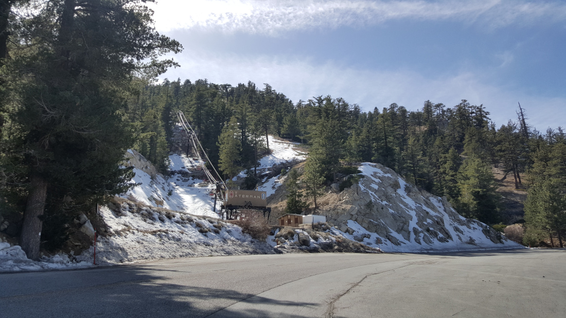
After passing the gate to the dirt road, look for the junction with the southbound Waterman Mountain Loop trail. The cedar and pine needle trail starts off soft and wide as it hugs the flanks of the mountain. A third of the way in, the trail takes a big turn around the shoulder of Waterman Mountain. The path climbs a handful of switchbacks until it reaches the junction with the trail to the Twin Peaks.
Snow Ridge
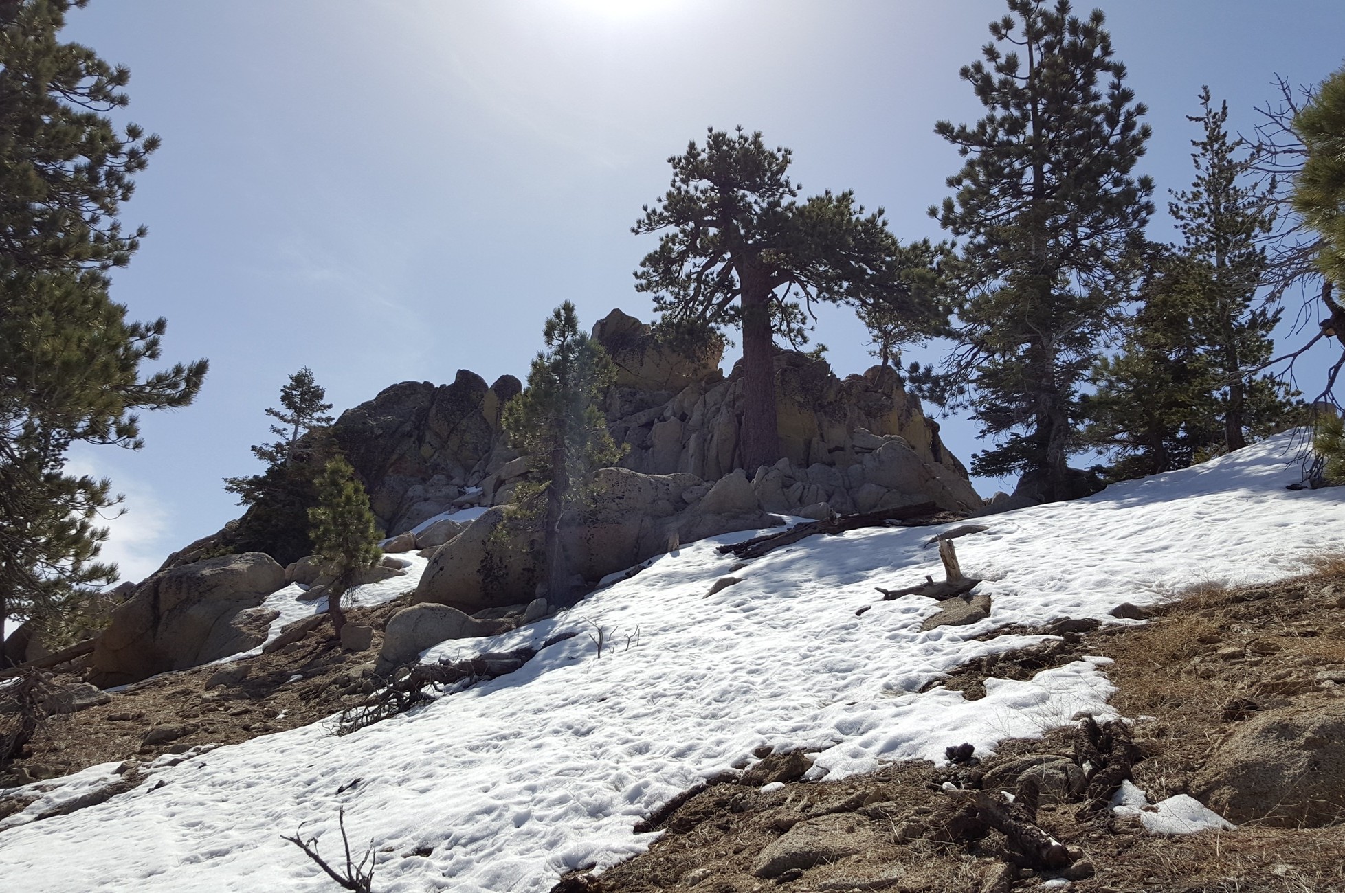
Along the saddle, it looks like it has been topped with coconut milk shakes and vanilla slushies. The trail starts singing with a hefty crunch, then a light thud, followed by a reverberating twang. Each boot step emulates the sonic stylings of a swooping shovel followed by a footfall on hills of granola. Once you notice the trail fork, go off-trail to the left and climb across the northern face of the peak.
Waterman’s Flat Plateau
At the flat plateau, you will need to do a bit of bouldering over some granite spires. Each time you get to the top of one of the rock piles, you need to keep going until nothing is higher.
Factoids
Robert Waterman originally named this peak Mt. Lady Waterman after his wife Liz, the first non-indigenous woman to climb it. Waterman was a Forest Ranger in the old San Gabriel Timberland Reserve.
Red Tape
Display your adventure pass.
Interactive Map
Frequently Asked Questions
| How long does it take to hike to the summit of Waterman Mountain? |
| Most hikers reach the summit in 3 hours, making Waterman Mountain a rewarding day hike from Buckhorn. |
| What is the elevation gain? |
| The route gains roughly 1,238 feet over 2.8 miles one-way to the 8,038-foot summit. |
| When is the best time to hike to Waterman Mountain? |
| Late spring (April through June) and fall (September through November) offer the best hiking conditions. This avoids the extreme heat of summer since there is little shade on the trail. In winter, there’s plenty of snow and ice along the ridgelines, which will require technical mountaineering skills, snowshoes, cramp-ons, and an ice axe. Avoid these conditions unless you are prepared. |
| Where do you park for this hike? |
| Park at the Buckhorn Day Use Area lot. |
| What permits, fees, or reservations are required? |
| Display your adventure pass. |
Nearby Peaks
If you are in the mood for more peakbagging, here are some nearby peaks.
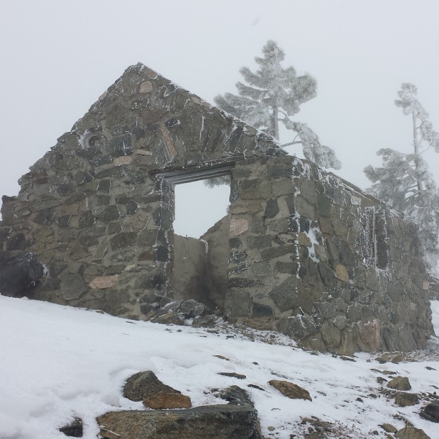
Mt. Islip (via Windy Gap Trail)
7 miles | 8,250′ | 2,400′ gain
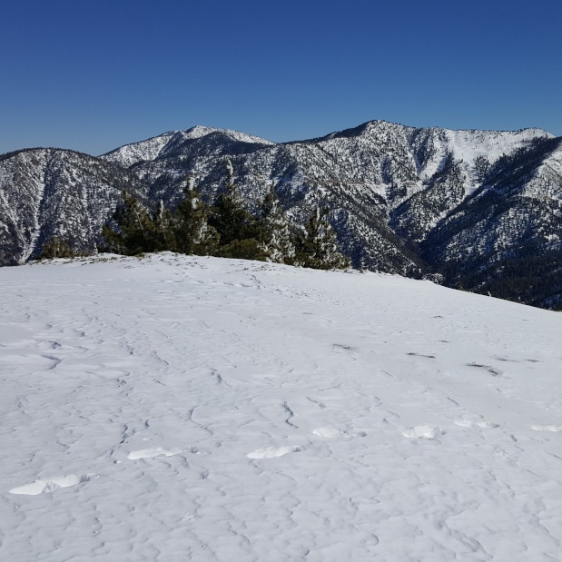
Mt. Williamson (via Islip Saddle)
5 miles | 8,244′ | 1,604′ gain
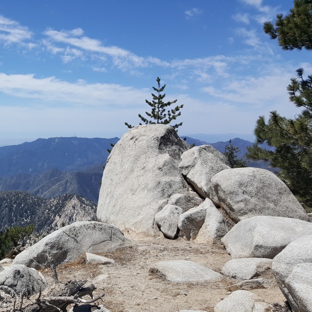
Twin Peaks East (via Buckhorn)
9.6 miles | 7,761′ | 3,300′ gain
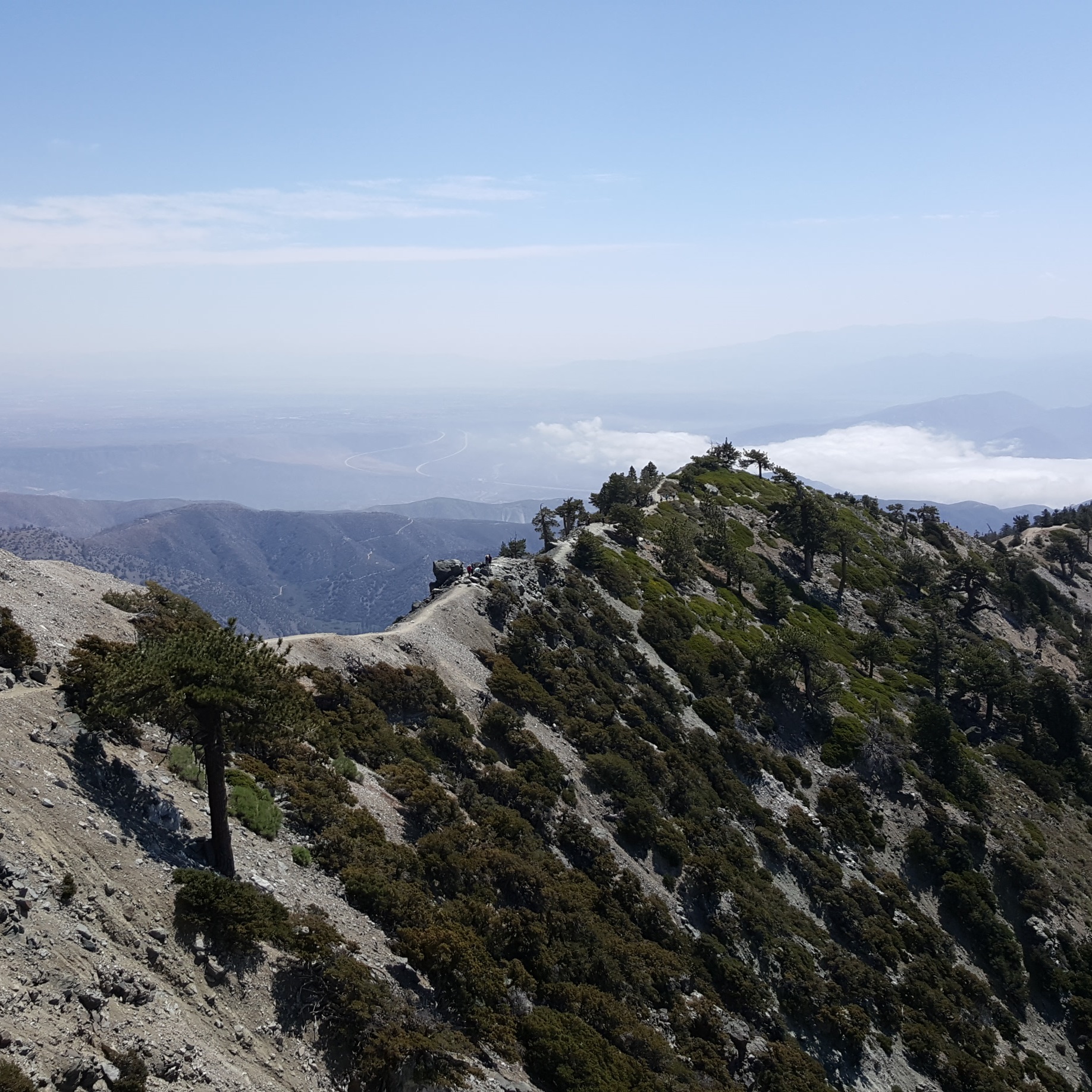
Mt. Baldy, West Baldy, & Mt. Harwood (via Devil’s Backbone)
6.6 miles | 10,064′ | 2,369′ gain

San Jacinto Peak (via Palm Springs Aerial Tramway)
10.3 miles | 10,834′ | 2,506′ gain

San Gorgonio Mountain (via Vivian Creek)
18.6 miles | 11,503′ | 5,400′ gain