| Distance: 7 miles (out and back) |
Elevation Gain: 2,400 feet |
Peak Elevation: 8,250 feet |
| Objective: Summit Mt. Islip, San Gabriel Mountains, California |
Difficulty: Strenuous |
|
Mt. Islip is in a remote position in the back range of the San Gabriel Mountains. The mountains are taller, the paths are steeper, and the drives to the trailhead are longer. With its rugged terrain and cold climate, the trails here are hardly used. Yet, the Windy Gap Trail has a few things going for it. This direct route presents a nice challenge with solid distance and elevation gain. Plus, you don’t have to drive another hour through the Angeles Crest Highway.
By Edward So, who has summited most of the peaks in the San Gabriel Mountains
| Directions to Trailhead | Directions to Summit | Crystal Lake | Windy Gap | Snow and Ice | The Ruin on Islip | Factoids | Red Tape | Interactive Map | FAQ |
Directions to Trailhead
| From the 210 East, exit and head north on Azusa Ave, which becomes San Gabriel Canyon Road (CA 39). Drive 24 miles to the Crystal Lake Recreation Area turnoff. Drive 0.5 miles past the visitor center to the main hiker’s parking lot. |
Directions to Summit
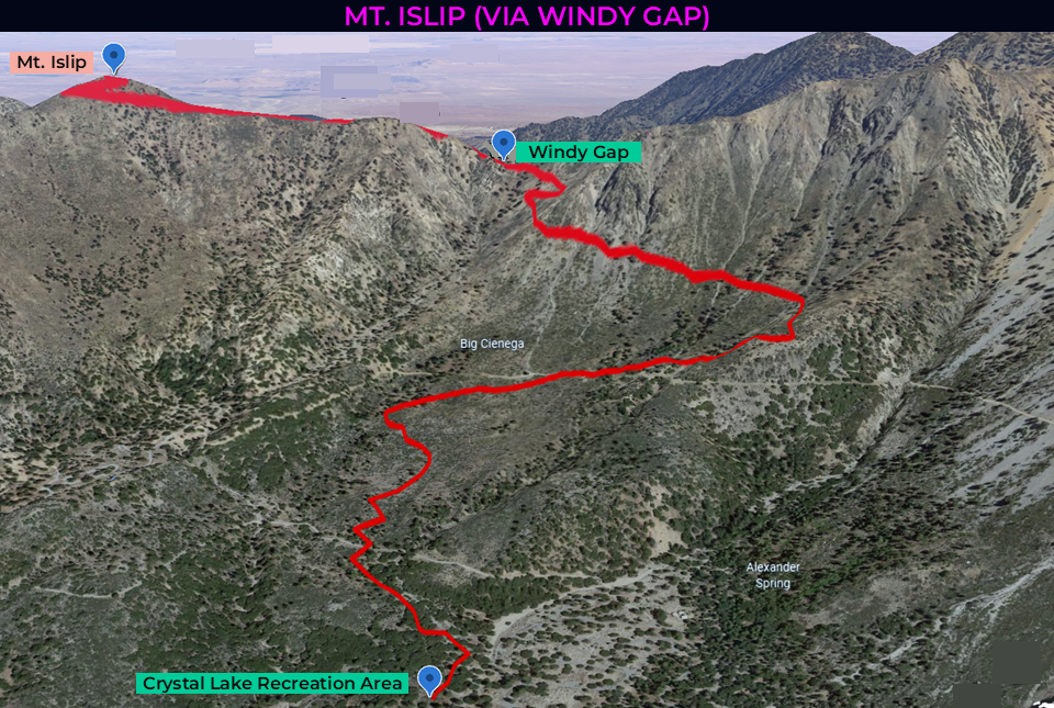
| Trailhead: From the Crystal Lake Recreation Area trailhead, start hiking on the Windy Gap Trail. Do not hike in the wash. 1 mile: Cross the truck trail twice and go up the slope. 2.6 miles: At the PCT junction, keep left (northwest) to stay on the Windy Gap Trail. 2.8 miles: At the Mt. Islip junction, turn left onto the Mt. Islip Trail. 3.5 miles: You have reached Mt. Islip. Turn around and head back. |
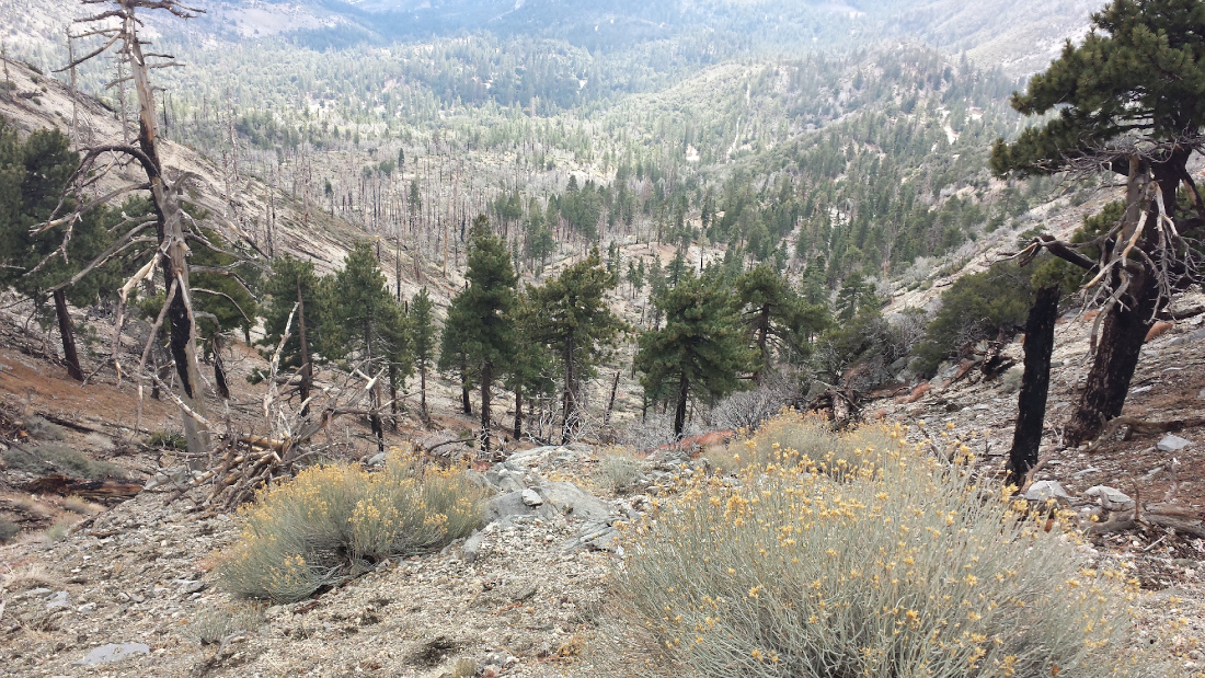
Crystal Lake
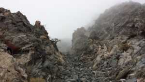
The trail begins by some campsites and soon rises high above the Crystal Lake Basin. As you look back, you see winding roads and rolling hills. In some spots, the route passes large blocks of cracked granite and portions of trail eroding over the edge. In the valley below, it’s a mix of green and burned trees.
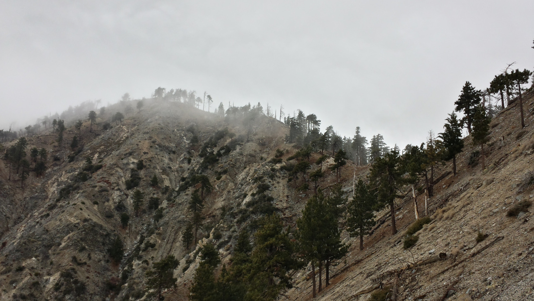
Windy Gap
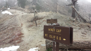
Once you reach the ridge at Windy Gap, you can see a rapid current of air pushing the fog over the pass. Windy Gap has an accurate name and the rest of the journey is accompanied violent gusts of wind. In the winter, the wind is frosty and you may experience hail that hits your face.
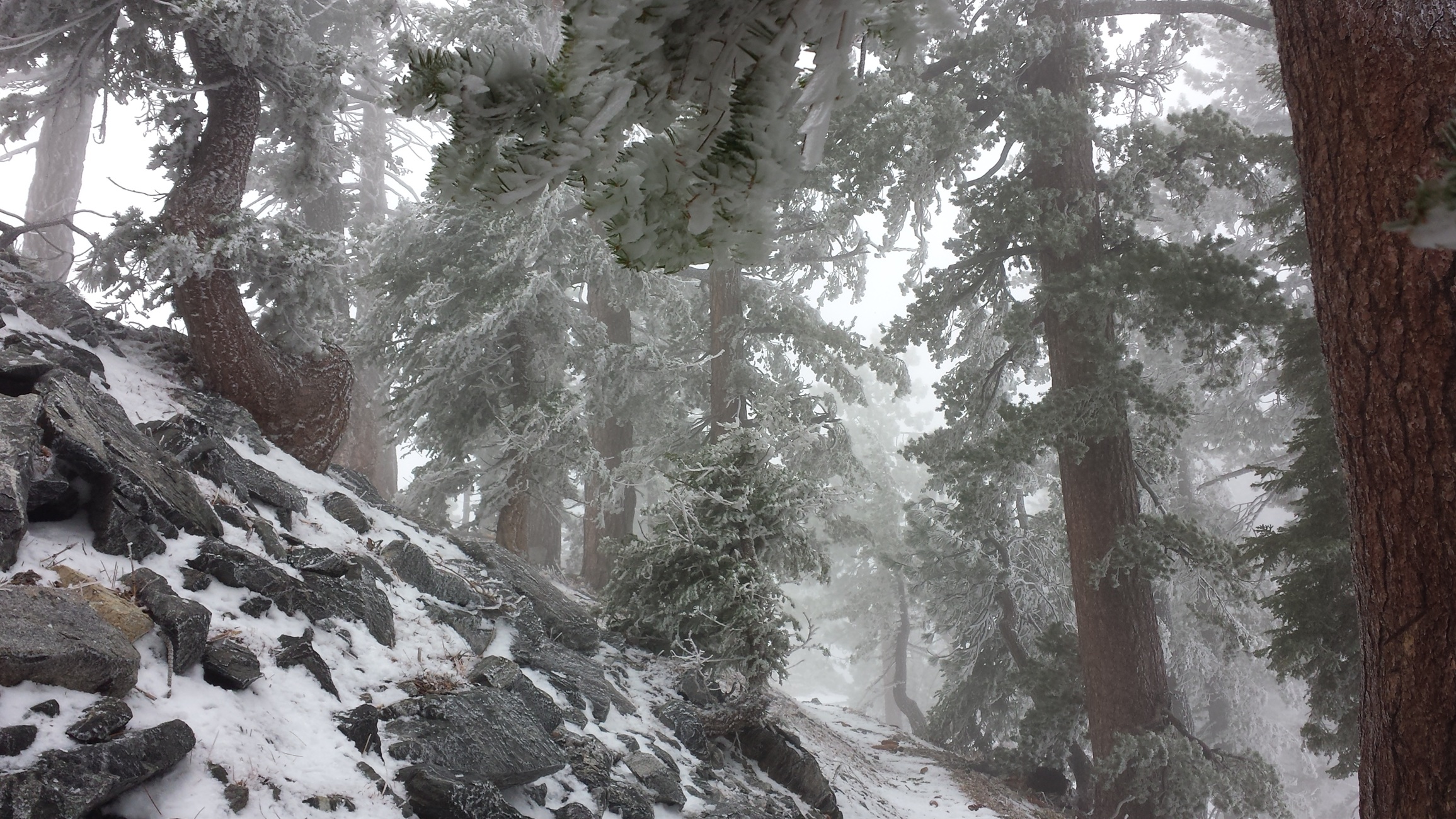
Snow and Ice
From Windy Gap, it is a straight line up a ridge to Islip. After trudging through some snow-covered patches, there is a brief respite on the south side of the ridge, where you can warm up your reddened knuckles and cheeks. You have entered a winter wonderland. Ice has frosted the leaves and pine needles. Did you know that hail comes in different shapes? Rectangular bits of hail rest on the snow.
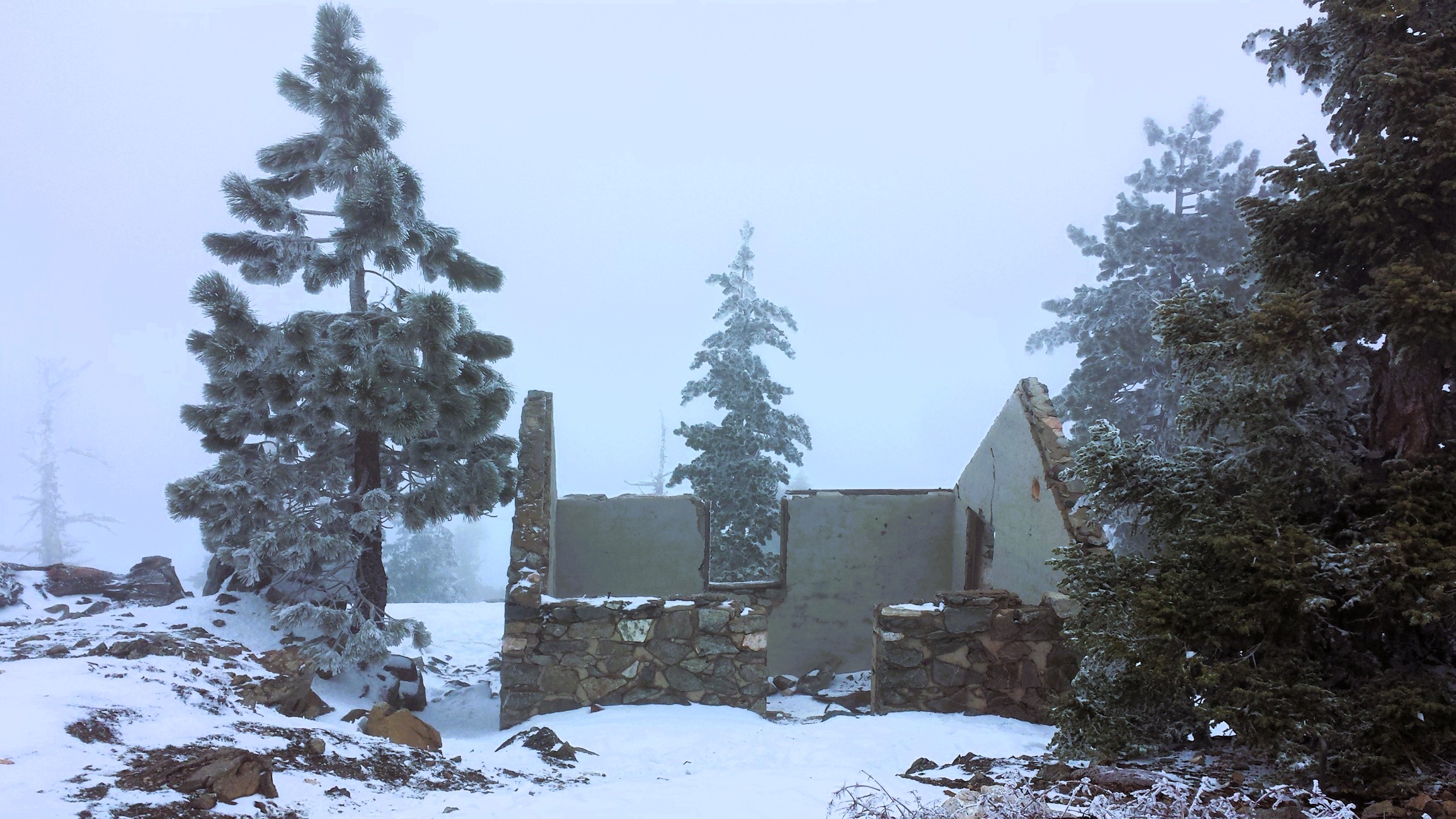
The Ruins on Islip
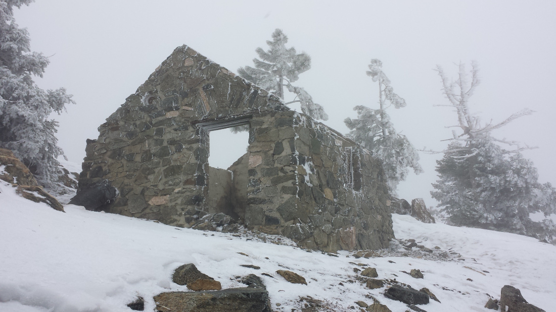
After the final turn, you see the summit hut remnants. There is a thick layer of snow on the ground. The underside of tree branches sag from the weight of the accumulated snow. On the way back, I see a tiny twig with bright green moss. It’s the only bit of color among all that monochromatic snow.
Red Tape
Display your adventure pass.
Interactive Map
Frequently Asked Questions
| How long does it take to hike to the summit of Mount Islip? |
| Most hikers reach the summit in 3 to 5 hours, making Mount Islip a rewarding day hike from Crystal Lake via Windy Gap. |
| What is the elevation gain? |
| The route gains roughly 2,400 feet over 3.5 miles one-way to the 8,250-foot summit. |
| When is the best time to hike to Mount Islip? |
| Late spring (April through June) and fall (September through November) offer the best hiking conditions. This avoids the extreme heat of summer since there is little shade on the trail. In winter, there’s plenty of snow and ice along the ridgelines, which will require technical mountaineering skills, snowshoes, cramp-ons, and an ice axe. Avoid these conditions unless you are prepared. |
| Where do you park for this hike? |
| At the Crystal Lake Recreation Area, park at the main hiker’s parking lot past the visitor center. |
| What permits, fees, or reservations are required? |
| Display your adventure pass. |
Nearby Peaks
If you are in the mood for more peakbagging, here are some nearby peaks.
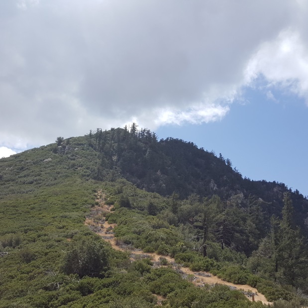
Smith Mountain (via Bear Canyon Trail)
7 miles | 5,111′ | 1,826′ gain
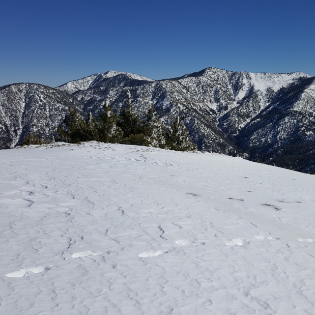
Mt. Williamson (via Islip Saddle)
5 miles | 8,244′ | 1,604′ gain
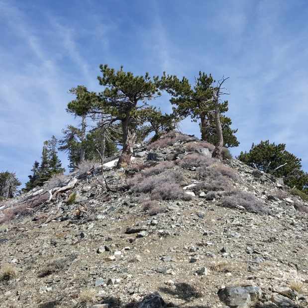
Mt. Hawkins (via Islip Saddle)
8.4 miles | 8,850′ | 2,200′ gain
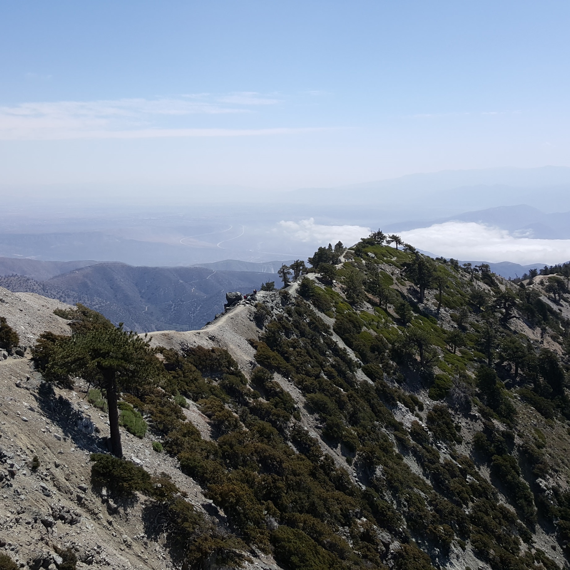
Mt. Baldy, West Baldy, & Mt. Harwood (via Devil’s Backbone)
6.6 miles | 10,064′ | 2,369′ gain

San Jacinto Peak (via Palm Springs Aerial Tramway)
10.3 miles | 10,834′ | 2,506′ gain

San Gorgonio Mountain (via Vivian Creek)
18.6 miles | 11,503′ | 5,400′ gain