| Distance: 3.2 miles (out and back) |
Elevation Gain: 494 feet |
Peak Elevation: 5,603 feet |
| Objective: Summit Mt. Lowe, San Gabriel Mountains, California |
Difficulty: Easy |
|
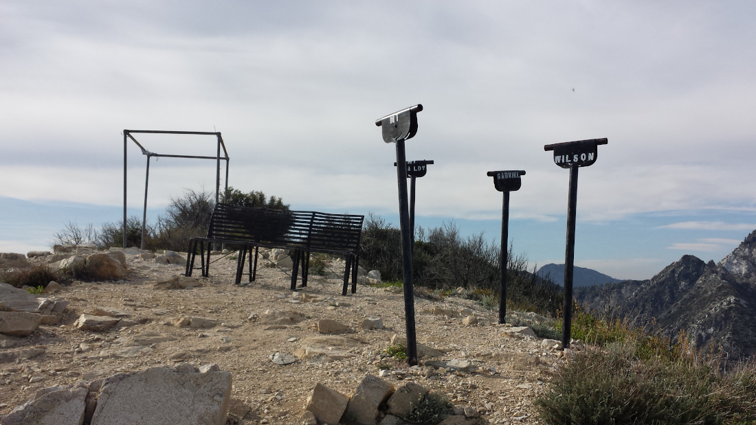
Mt. Lowe is a great introductory visit to the front range of the San Gabriel Mountains. The mileage is not much more than a 5k and the elevation gain is minimal. The hike to Mt. Lowe goes through Mueller Tunnel and hugs the western flank of Mt. Markham. At the top of Mt. Lowe, there are labeled viewing tubes pointing to the neighboring peaks.
By Edward So, who has summited most of the peaks in the San Gabriel Mountains
| Directions to Trailhead | Directions to Summit | Mueller Tunnel | Saddle to Saddle | Views from Mt. Lowe | Factoids | Red Tape | Interactive Map | FAQ |
Directions to Trailhead
| From the 210 East in La Cañada, drive 14 miles on Angeles Crest Highway (CA-2). Turn right at Mt. Wilson Red Box Road and continue past the Red Box area for 2.3 miles. Park by the bend in the road, near the Eaton Saddle trailhead. |
Directions to Summit
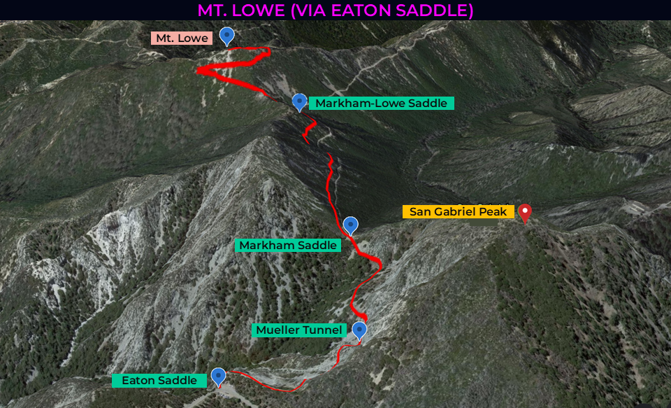
| Trailhead: From Eaton Saddle, follow the Mt. Lowe Trail. 0.27 miles: Continue through Mueller Tunnel. 0.5 miles: At Markham Saddle, keep left onto Mt. Lowe Trail, bypassing the San Gabriel Peak Trail. 1.13 miles: At the saddle between Markham and Lowe, continue going straight, bypassing the path to Markham. 1.3 miles: Make a sharp right turn at the junction. 1.5 miles: Turn left and take the trail to the peak. 1.6 miles: You have reached Mt. Lowe. Turn around and head back. |

Mueller Tunnel
From Eaton Saddle’s gate, the Mt. Lowe Trail quickly reaches Mueller Tunnel, which was built to bypass the Cliff Trail. In 1942, US Forest Service workers carved the 100-yard tunnel directly through the granite of San Gabriel Peak. The drilled the side of the mountain and used dynamite to blast it away. On a hot day, the dark shady tunnel is a huge relief.

The views of the canyons and ravines are incredible from the trail’s edge.
Saddle to Saddle
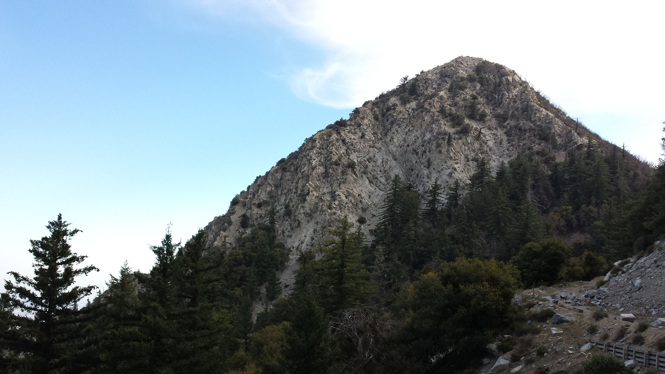
I didn’t realize it before, but this hike is an exploration of saddles. For those of you who don’t know, a saddle is the lowest point on a ridge between two peaks. The trail starts at a saddle and crosses another two saddles on its way to the top. The trailhead at Eaton Saddle is between Occidental Peak and San Gabriel Peak above Eaton Canyon. After Mueller Tunnel, it’s half a mile to Markham Saddle, which is between San Gabriel Peak and Mt. Markham. At the water tank on the saddle, you have clear sightlines of Mt. Markham. Then, the trail takes a big detour around Markham and rises along its northwestern slope. It reaches the final saddle between Mt. Markham and Mt. Lowe.
Views from Mt. Lowe
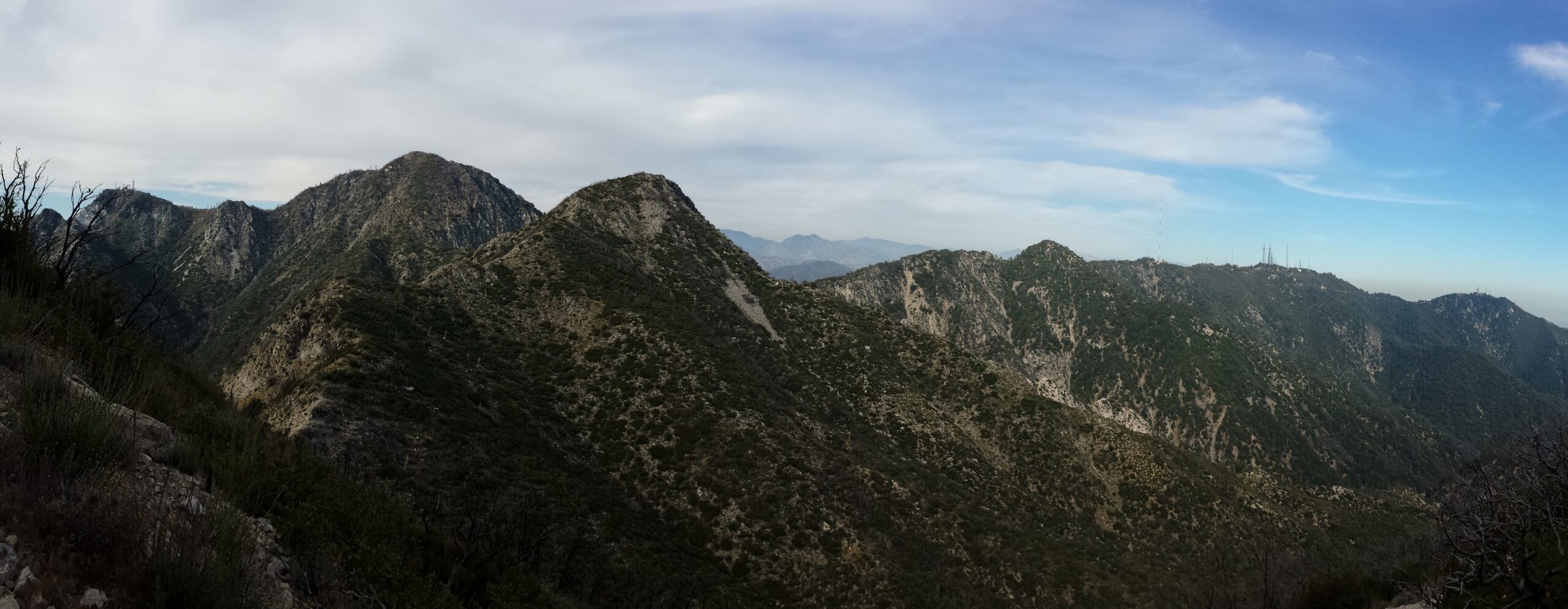
At the Markham-Lowe saddle, keep heading toward Mt. Lowe. At the next junction, the trail to the sharp right keeps climbing. Mt. Lowe’s zenith is topped with a flagpole, hitching post, cage structure, and viewing tubes pointing to nearby peaks.

Factoids
Professor Thaddeus S.C. Lowe was the first to set foot on and plant the American flag at this peak. After failing to secure access to Wilson, Lowe built Mount Lowe Railway as an alternate route to the mountains.
P.S. The Mt. Lowe Railway is yet another example of thwarted dreams in Los Angeles. Professor Lowe envisioned a “White City in the Sky” above Altadena and Pasadena. The project would have included a network of trains, trolleys, hotels, chalets, tennis courts, stables, and a zoo. However, wind, fire, and flooding ultimately brought the dream to an end. There have always been big ideas in LA, some make it while others don’t, but you always need to try.
Red Tape
Display your adventure pass.
Interactive Map
Frequently Asked Questions
| How long does it take to hike to the summit of Mount Lowe? |
| Most hikers reach the summit in 2 to 3 hours, making Mount Lowe a rewarding half-day climb from Eaton Saddle. |
| What is the elevation gain? |
| The route gains roughly 494 feet over 1.6 miles one-way to the 5,603-foot summit. |
| When is the best time to hike to Mount Lowe? |
| Fall through spring (September through June) offer the best hiking conditions. This avoids the extreme heat of summer since there is little shade on the trail. In winter, there may be snow and ice along the ridgelines. |
| Where do you park for this hike? |
| Park by the bend in the road, near the Eaton Saddle trailhead. |
| What permits, fees, or reservations are required? |
| Display your adventure pass. |
Nearby Peaks
If you are in the mood for more peakbagging, here are some nearby peaks.
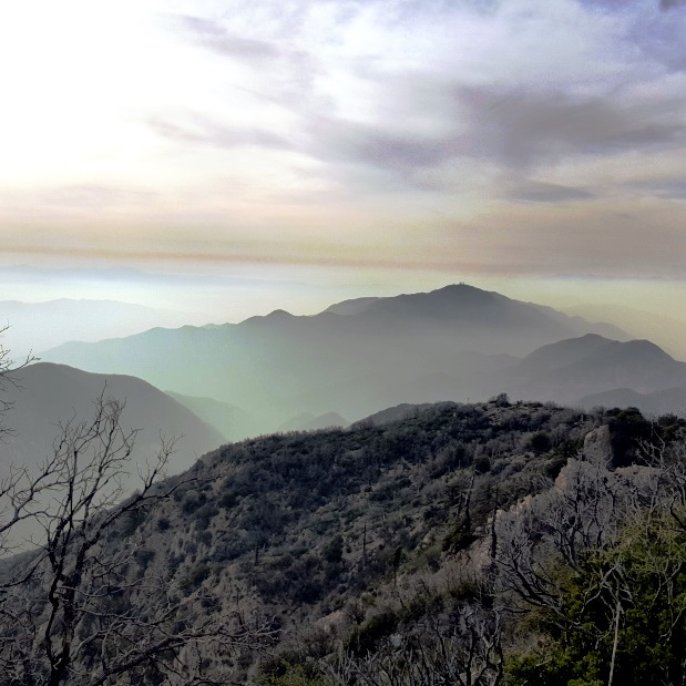
Mt. Deception (via Red Box)
4.75 miles | 5,796′ | 1,100′ gain
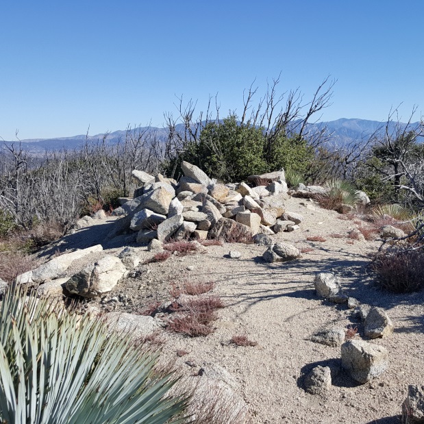
Mt. Markham (via Eaton Saddle)
3.2 miles | 5,742′ | 628′ gain
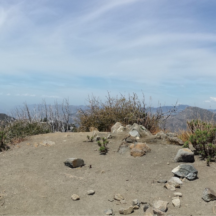
San Gabriel Peak, Mt. Disappointment (via Red Box)
4.34 miles | San Gabriel: 6,161′, Disappointment: 5,963′ | 1,500′ gain
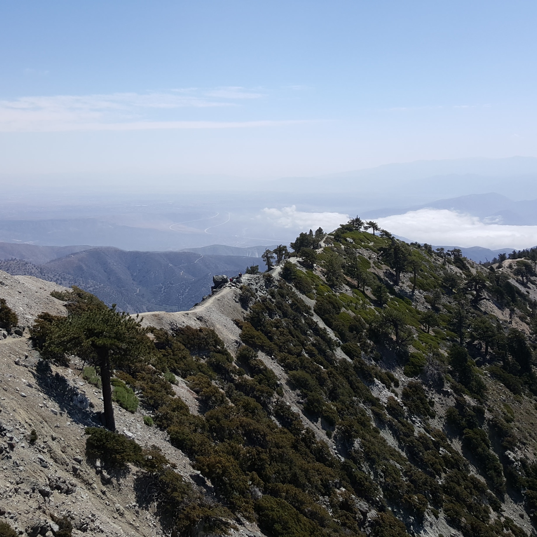
Mt. Baldy, West Baldy, & Mt. Harwood (via Devil’s Backbone)
6.6 miles | 10,064′ | 2,369′ gain

San Jacinto Peak (via Palm Springs Aerial Tramway)
10.3 miles | 10,834′ | 2,506′ gain

San Gorgonio Mountain (via Vivian Creek)
18.6 miles | 11,503′ | 5,400′ gain