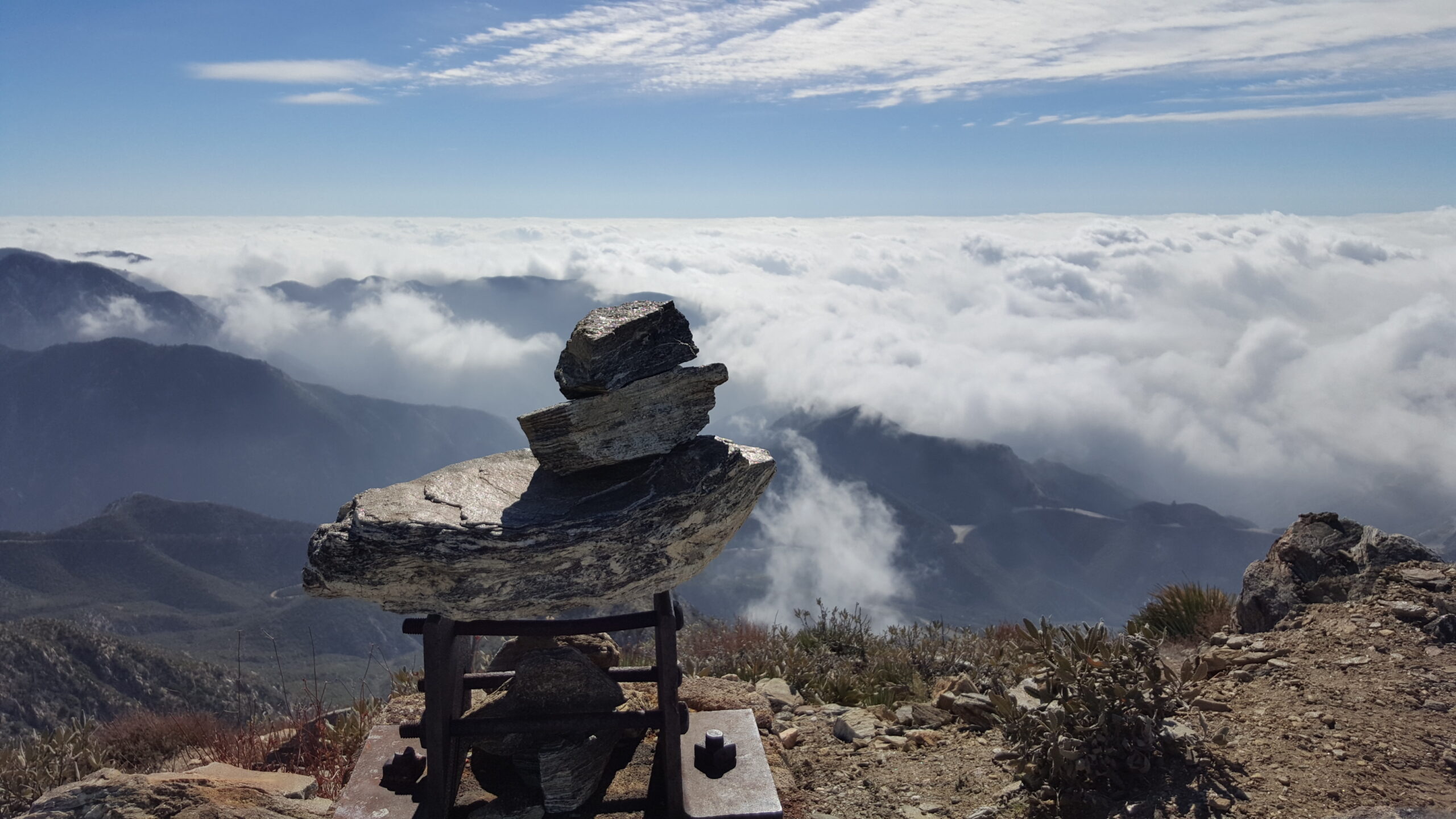
| Distance: 8.2 miles (out and back) |
Elevation Gain: 2,100 feet |
Peak Elevation: 5,558 feet |
| Objective: Summit Josephine Peak, San Gabriel Mountains, California |
Caution: Poodlebush, rattlesnakes, heat |
Difficulty: Moderate |
Josephine Peak is an entryway to the front range of the San Gabriel Mountains National Monument. The Colby Canyon Trail follows Colby Canyon up to Josephine Saddle. From the saddle, you can hike to Strawberry Peak, Josephine Peak, or both.
By Edward So, who has summited most of the peaks in the San Gabriel Mountains
| Directions to Trailhead | Directions to Summit | Josephine Saddle | Spur Trail to Josephine | Josephine’s Summit | Factoids | Red Tape | Interactive Map | FAQ |
Directions to Trailhead
| From the 210 East in La Cañada, drive 9.5 miles on Angeles Crest Highway (CA-2) until the Angeles Forest Highway intersection. Continue driving one mile (passing the Switzer parking area on the right) on CA-2. There are two small dirt lots on the north side (left) of the road at Colby Canyon, marked with trailhead signs and distances. |
Directions to Summit
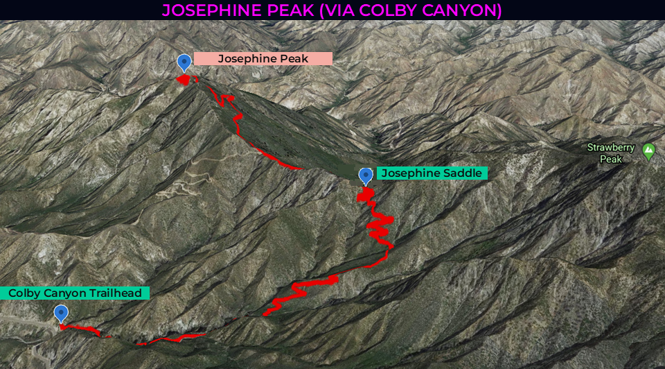
| Trailhead: From the trailhead, the Colby Canyon Trail enters Colby Canyon. 0.80 miles: The trail crosses the stream again and gently rises. 2.01 miles: At Josephine Saddle, turn left, and head west along the Strawberry Spur Trail. 2.60 miles: When the trail meets a fire road, keep to the right. Follow Josephine Peak Road to the summit. 4.10 miles: You have reached Josephine Peak. Turn around and head back. |
Josephine Saddle
Colby Canyon Trail climbs gently past the stream and up through the hills by Colby Canyon. As you approach the ridge, you will spot Josephine Saddle, the point between Josephine Peak and Strawberry Peak.
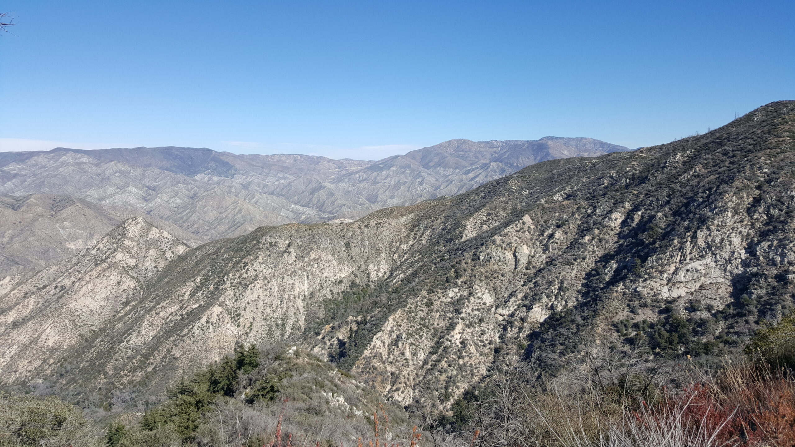
After a few switchbacks, you will reach the water tank at Josephine Saddle.
Spur Trail to Josephine
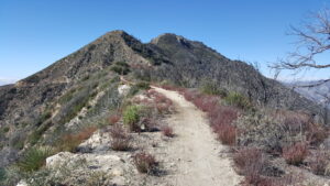
Head west and follow the ridgeline via the Strawberry Spur Trail. This section is rather flat for the first half mile after the saddle. Then the Josephine Peak Road gradually ascends the ridgeline to the peak. After two big switchbacks, the fire road loops around the peak and rises up Josephine’s north face.
Josephine’s Summit
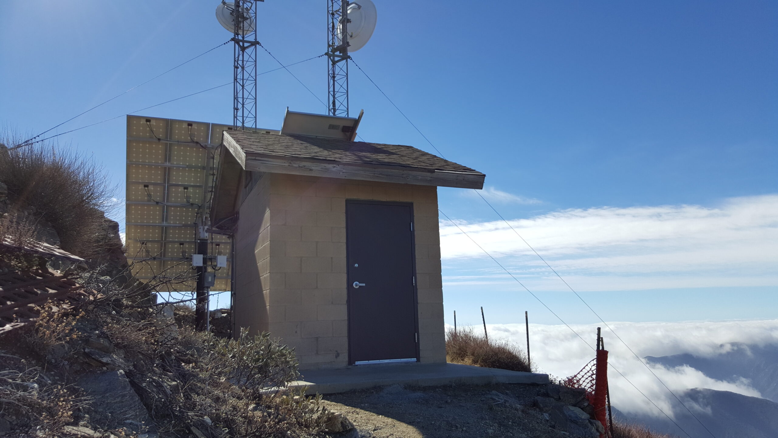
At the summit, there is a small building with broadcast antennas.
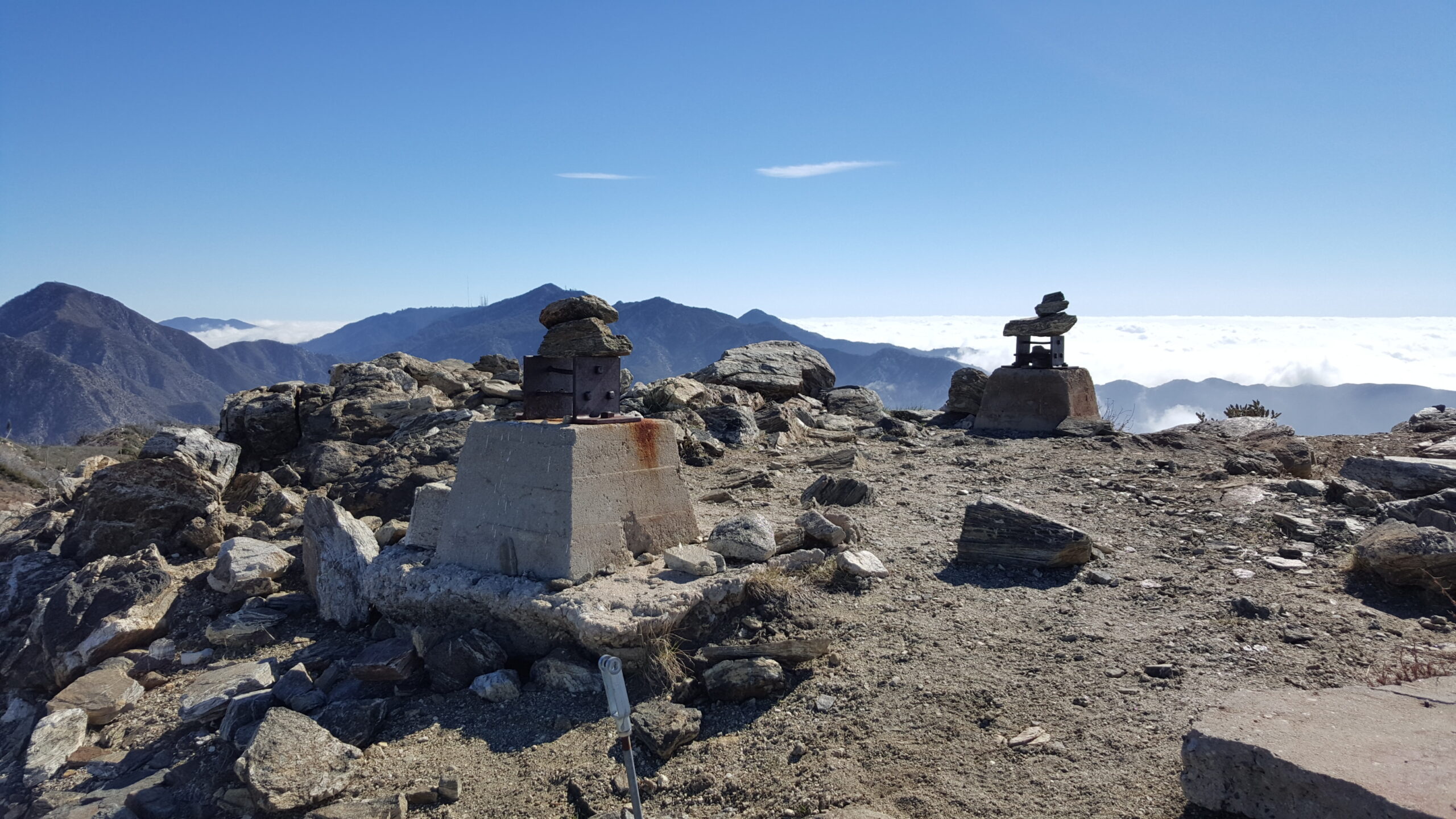
Above that, there are remains of a lookout that burned in the fire of 1976. From here, you can see Strawberry Peak and Mt. Wilson.
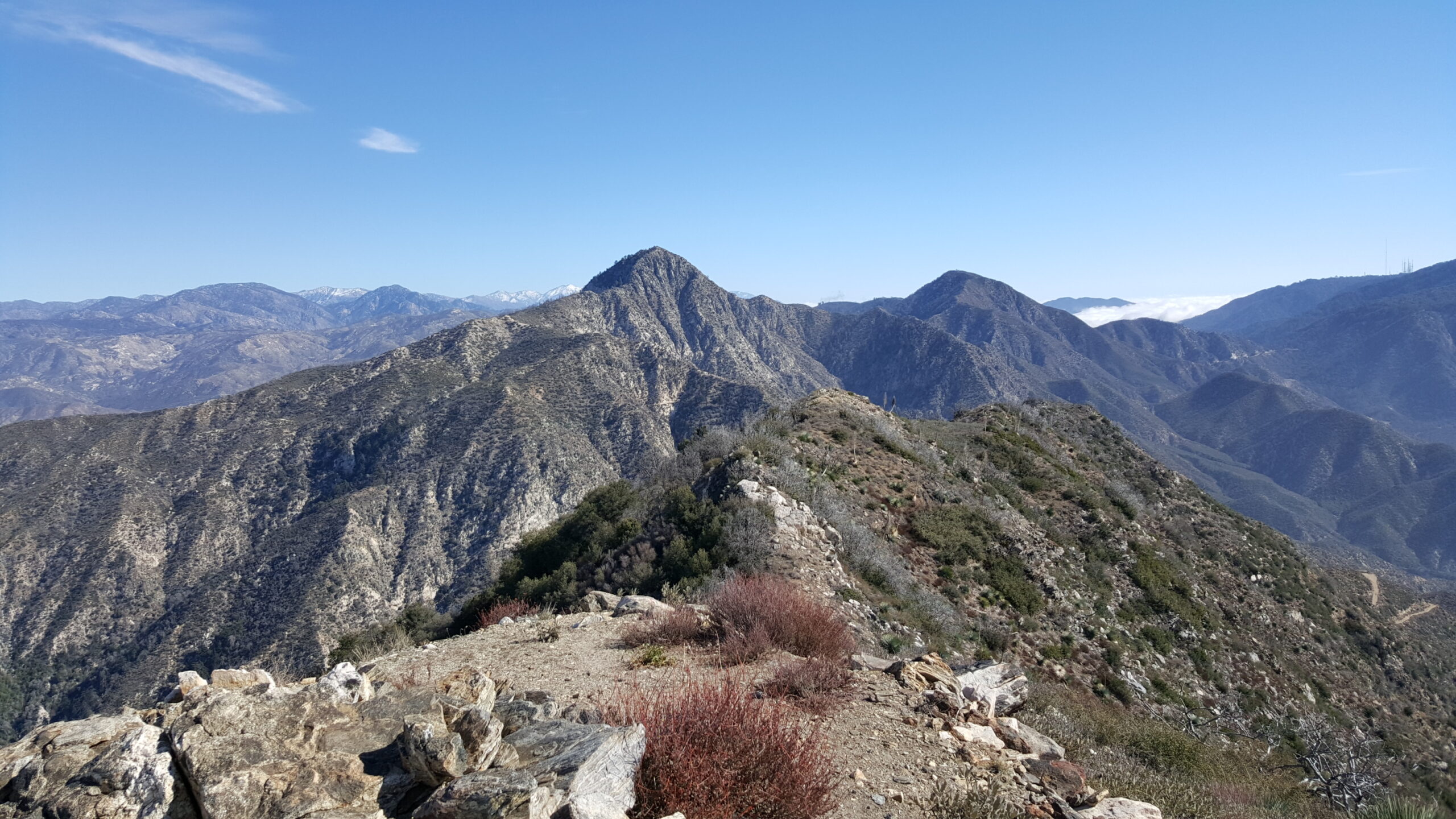
Remember to bring plenty of water as most of the hike is extremely exposed to the sun. Long pants are a good idea as there are many poisonous plants on this hike.
Factoids
The peak is named for the daughter of Phil Beque, a ranch owner who lived in the vicinity.
Red Tape
Display your adventure pass.
Interactive Map
Frequently Asked Questions
| How long does it take to hike to the summit of Josephine Peak? |
| Most hikers reach the summit in 1.5 to 2.5 hours, making Josephine Peak a rewarding half-day climb from Colby Canyon. |
| What is the elevation gain? |
| The route gains roughly 2,100 feet over 4.1 miles one-way to the 5,558-foot summit. |
| When is the best time to hike to Josephine Peak? |
| Fall through spring (September through June) offer the best hiking conditions. This avoids the extreme heat of summer since there is little shade on the trail. In winter, there may be snow and ice along the ridgelines. |
| Where do you park for this hike? |
| Park at one of two small dirt lots on the north side (left) of the Angeles Crest Highway (CA-2) at Colby Canyon. |
| What permits, fees, or reservations are required? |
| Display your adventure pass. |
Nearby Peaks
If you are in the mood for more peakbagging, here are some nearby peaks.
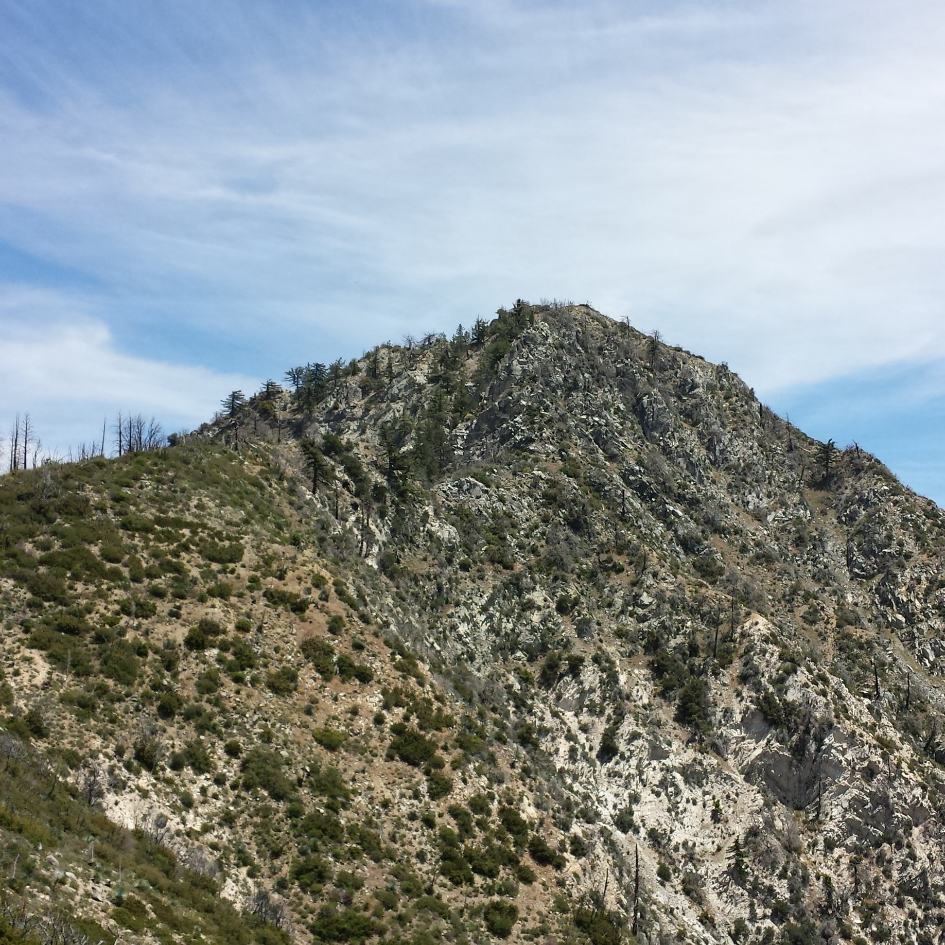
Strawberry Peak (via Colby Canyon)
6.3 miles | 6,164′ | 2,650′ gain
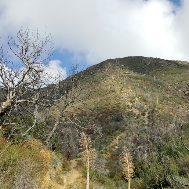
Mt. Lawlor (via Red Box)
6 miles | 5,957′ | 1,300′ gain
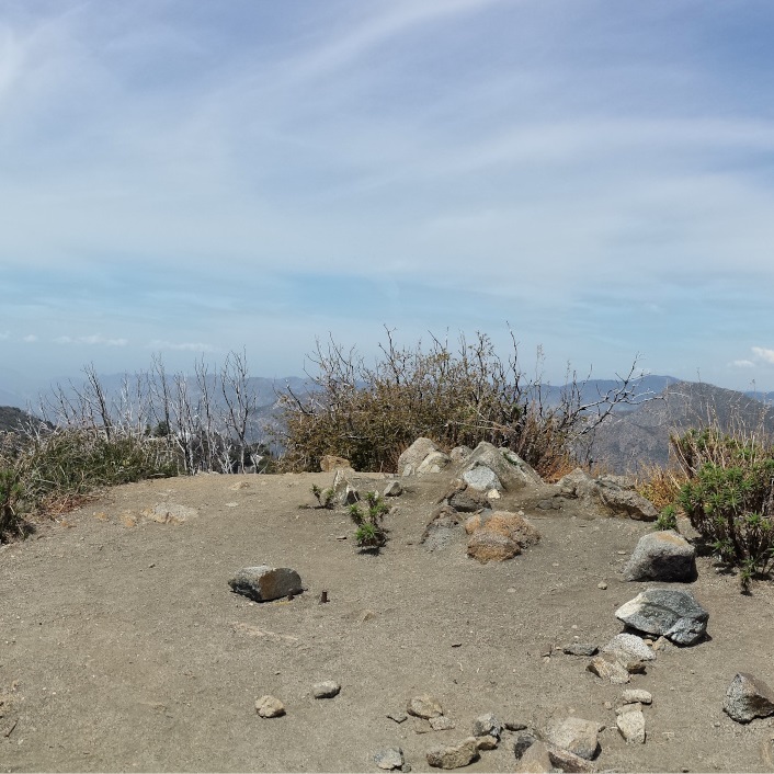
San Gabriel Peak, Mt. Disappointment (via Red Box)
4.34 miles | San Gabriel: 6,161′, Disappointment: 5,963′ | 1,500′ gain
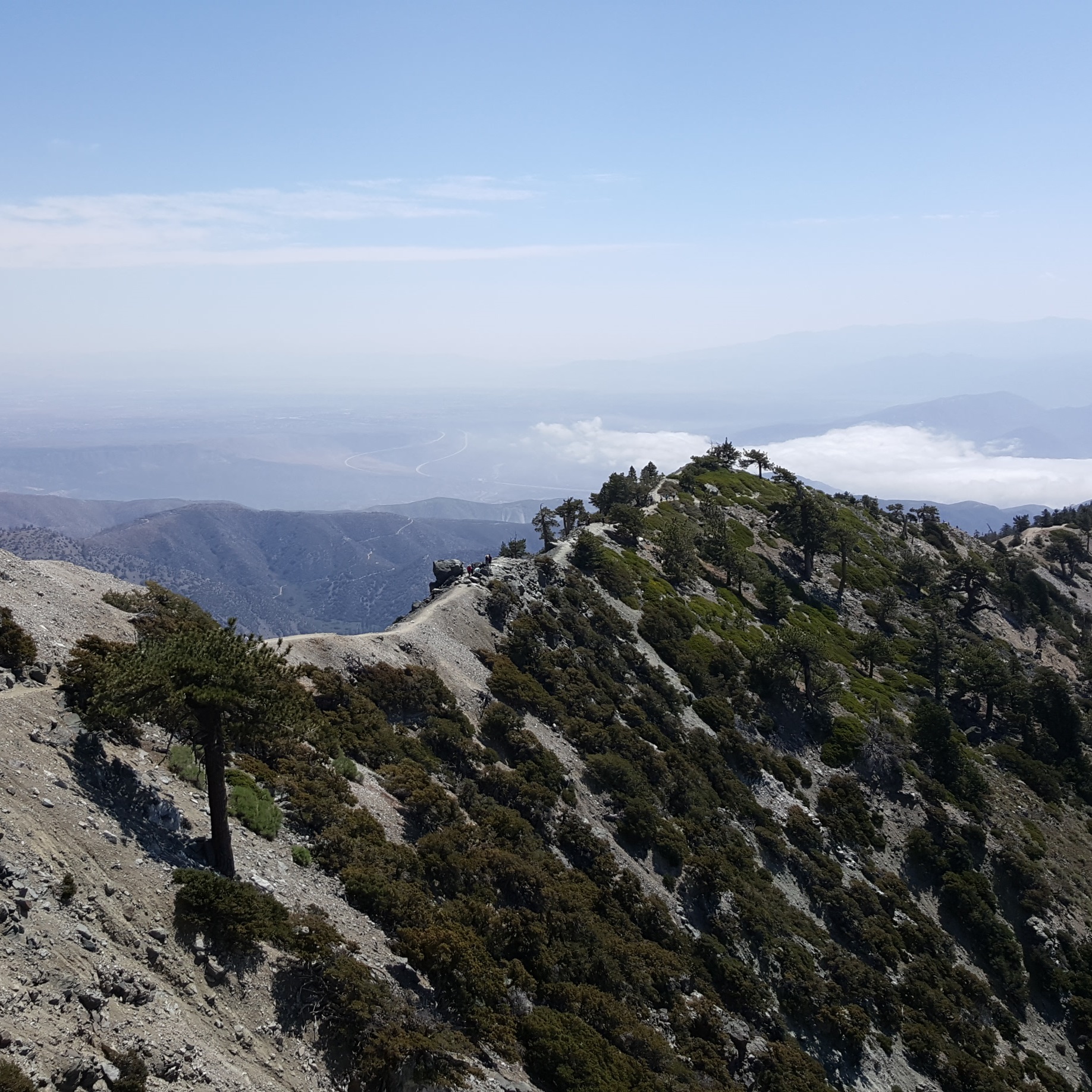
Mt. Baldy, West Baldy, & Mt. Harwood (via Devil’s Backbone)
6.6 miles | 10,064′ | 2,369′ gain

San Jacinto Peak (via Palm Springs Aerial Tramway)
10.3 miles | 10,834′ | 2,506′ gain

San Gorgonio Mountain (via Vivian Creek)
18.6 miles | 11,503′ | 5,400′ gain