| Objective: 4WD Photo Journey in Limestone Canyon | Trip Length: 4 hours | |
| Location: Limestone Canyon (The Sinks, Loma Ridge), Santa Ana Mountains, California | Caution: Sun exposure, rattlesnakes, ticks, mountain lions | |
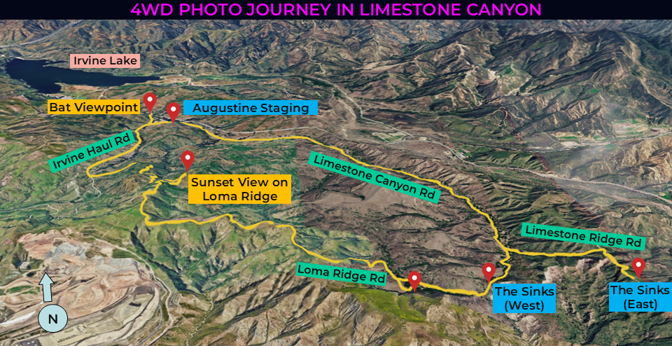
Limestone Canyon, an almond-shaped preserve in Irvine Ranch Open Space, lies within the western foothills of the Santa Ana Mountains. The 4WD vehicle tours about 13 miles of Limestone Canyon in just over 4 hours. Bring your camera and enjoy the ride across woodlands to The Sinks, a mini-Grand Canyon, above Limestone Ridge. There are multiple opportunities to walk around, including among low shrubs of Loma Ridge to a charming sunset viewpoint. Finally, head over to a bridge and watch as hundreds of Mexican free-tailed bats fly off in search of food.
Directions to Augustine Staging Area
| From the 5 freeway, exit Jamboree Road and head northeast. Continue on Jamboree for 5.9 miles. Turn right onto Santiago Canyon Road and drive 4.6 miles. Make a right at Hicks Haul Road. After a few hundred feet, turn right into the Augustine staging area. |
Riding Beauty or the Beast?
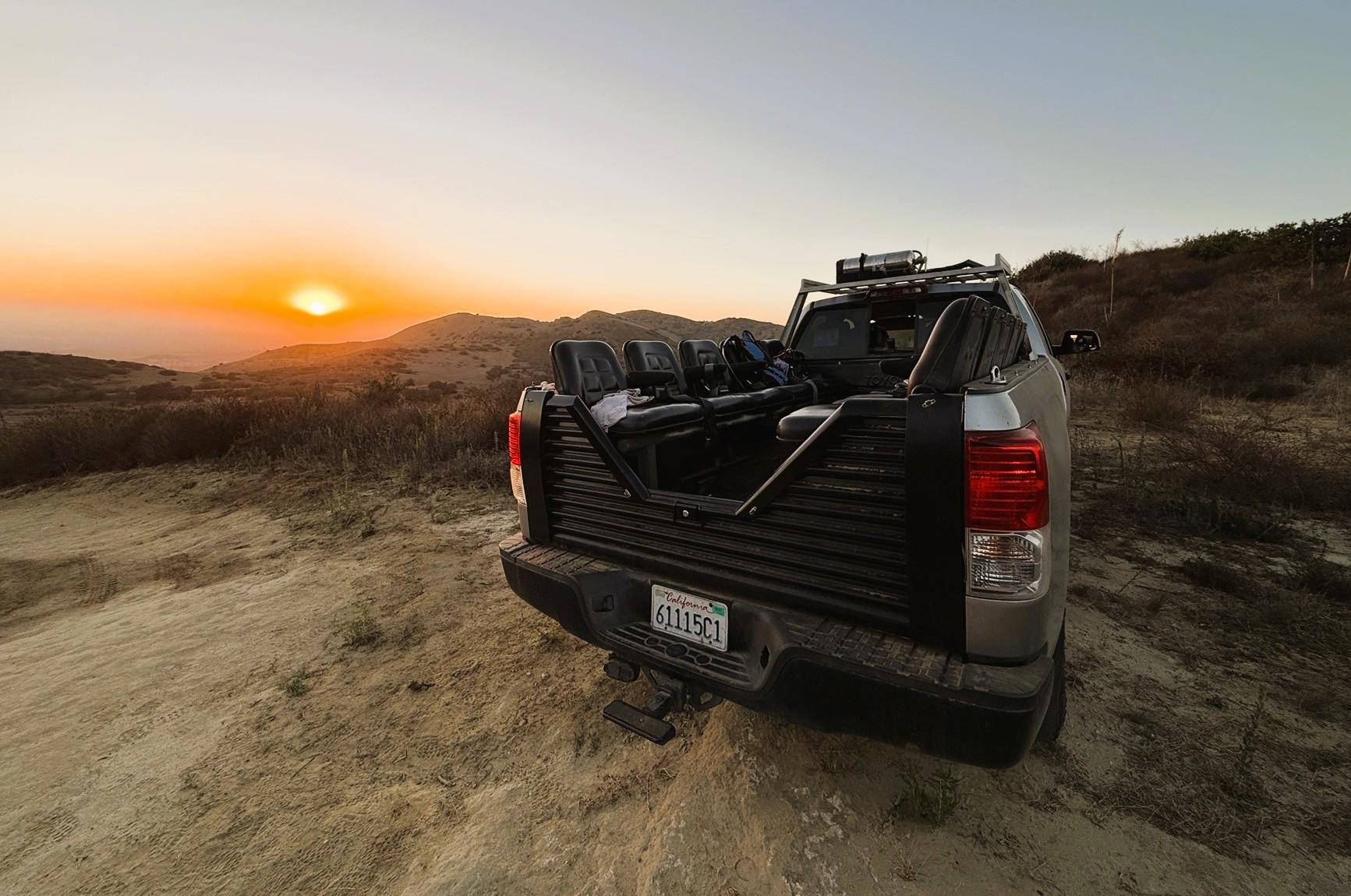
After the group assembles and signs the waivers, it is time to board the 4WD truck. The program has two trucks, one named “Beast,” which has a rollbar and one named “Beauty.” Today, we will explore Limestone Canyon with Beauty. A husband and wife team plus another guide will drive and lead us through the nature preserve. This is a rare opportunity that occurs once every three months. There are ten seats (with seatbelts) on the back of the large pickup truck. There are always a couple no-shows. It’s a bummer since this it isn’t easy to obtain a seat on the truck. The two guides sit in the back and help interpret the wilderness for us. The first mile follows Limestone Canyon Road past a butterfly habitat.
Nature’s Cupboards
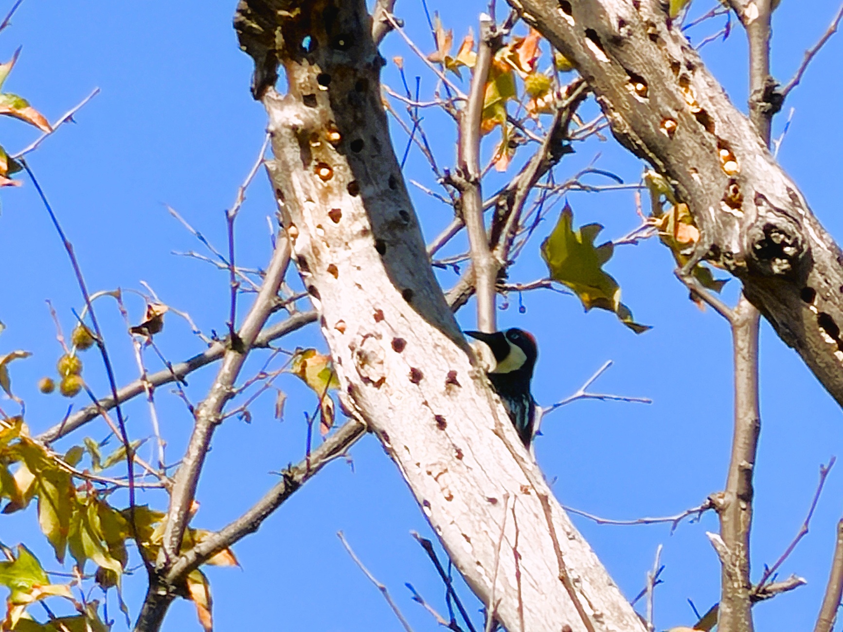
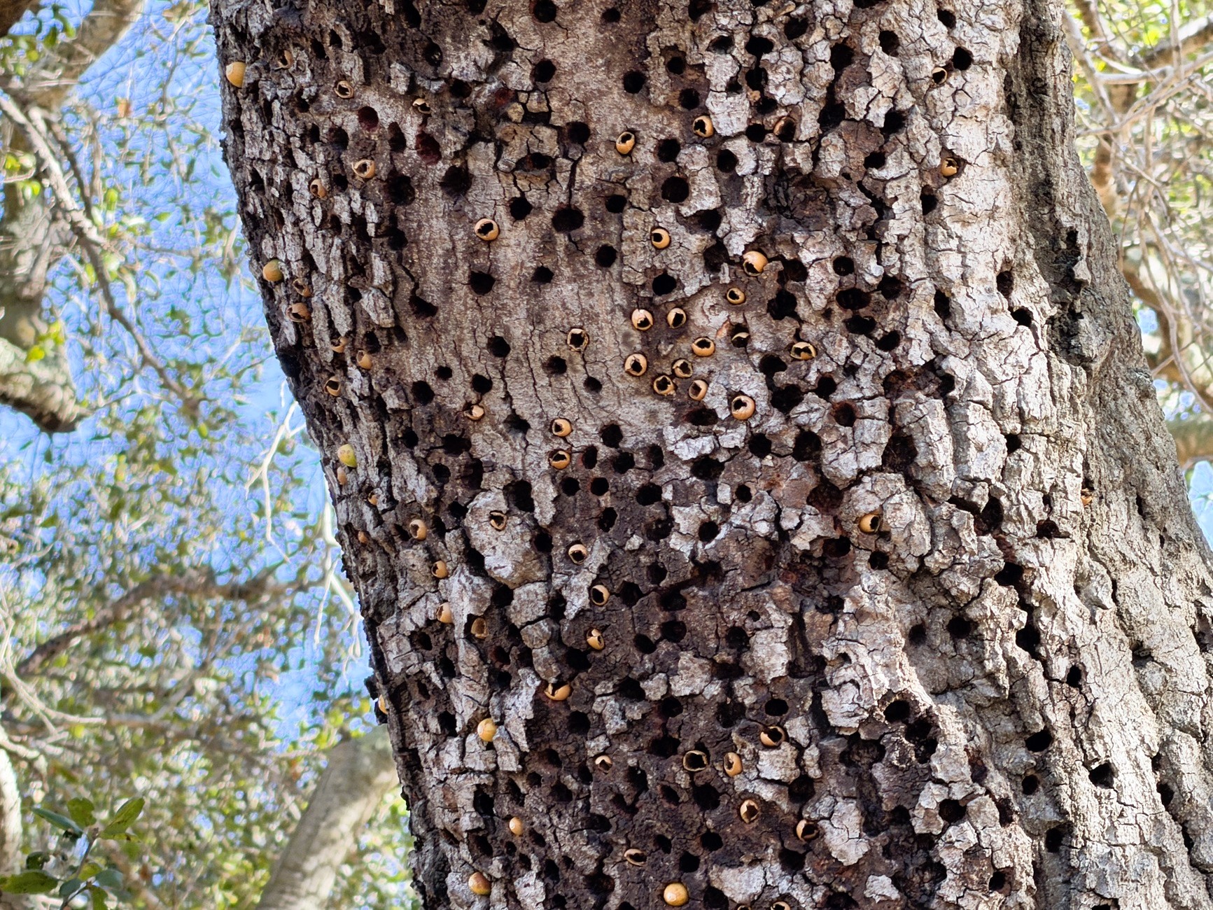
Shortly after we start driving, we quickly make a stop. The guide points to a red-headed woodpecker on one of the oak trees, and we listen to the telltale tapping. A woodpecker family has claimed a granary tree, which has thousands of drilled storage holes, each once containing an acorn. Woodpeckers are fiercely territorial and will work together to defend the granary against intruders and freeloaders.
Soaring Raptors
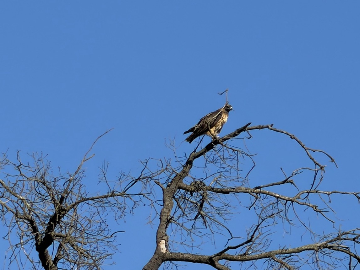
Over the couple miles, we trace Limestone Creek below Limestone Ridge. This ridge is a primary breeding and nesting ground for raptors. In summer, trails are closed off as to not disturb the red-tailed hawks, barn owls, Cooper’s hawks, and red-shouldered hawks. When you sit in a vehicle gazing at the sky, you see more wildlife than you would hiking. Many red-tailed hawks circle high among the clouds above, screech as proudly as eagles, and tangle with little birds. A single Cooper’s hawk darts above the treetops. There’s a rustling sound high up in a tree. We see a black jumble of wings and then either a kestrel or osprey flies away. A small woodpecker chases the raptor and has successfully protected the family’s granary tree.
The East Sinks
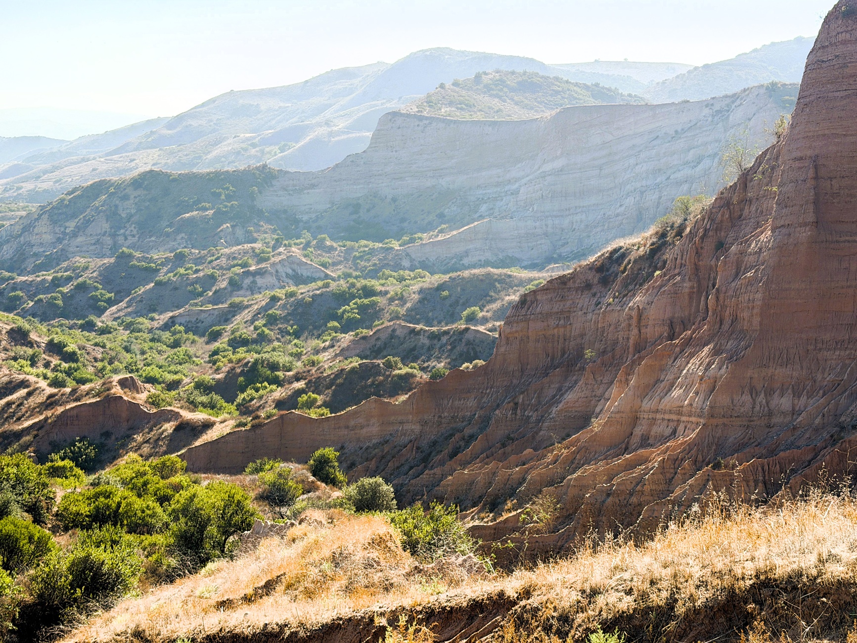
The truck begins to rumble a bit and we have to hold on. This is the one really steep and bumpy portion of the ride and it’s over after half a minute. Upon reaching Limestone Ridge, the vehicle descends a couple hundred and parks at Markel Spur. From this spot, you see the orange and white stripes of the exposed rock formations. We walk a quarter mile south to the eastern viewing platform of the Sinks. At the wooden deck, the view of the landscape is open and expansive. You notice how the top of Limestone Ridge has risen while the slope has slipped down the sinkhole below. The exposed colorful layers of sandstone look like the jaws and teeth of some dormant beast.
The West Sinks
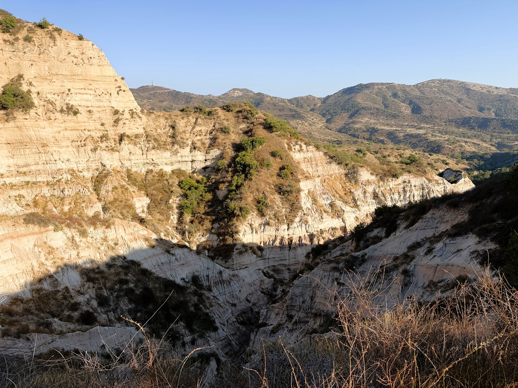
After dipping a bit for over a mile, we drive behind the Sinks to the western viewing platform. It’s feels nice to stop and stretch our legs once in a while. The West Sinks are tighter and more confined than the East Sinks. While the East Sinks resembles an amphitheater, the West Sinks looks like a narrow ravine with rock walls close together. The colors on this side are a bit muted; there are more shades of tan and beige. From this position, you can see Saddleback. The two highest peaks of the Santa Ana Mountains are on each side of this saddle. Modjeska Peak is to the left and Santiago is the taller peak to the right with broadcast towers.
Coast Live Oaks
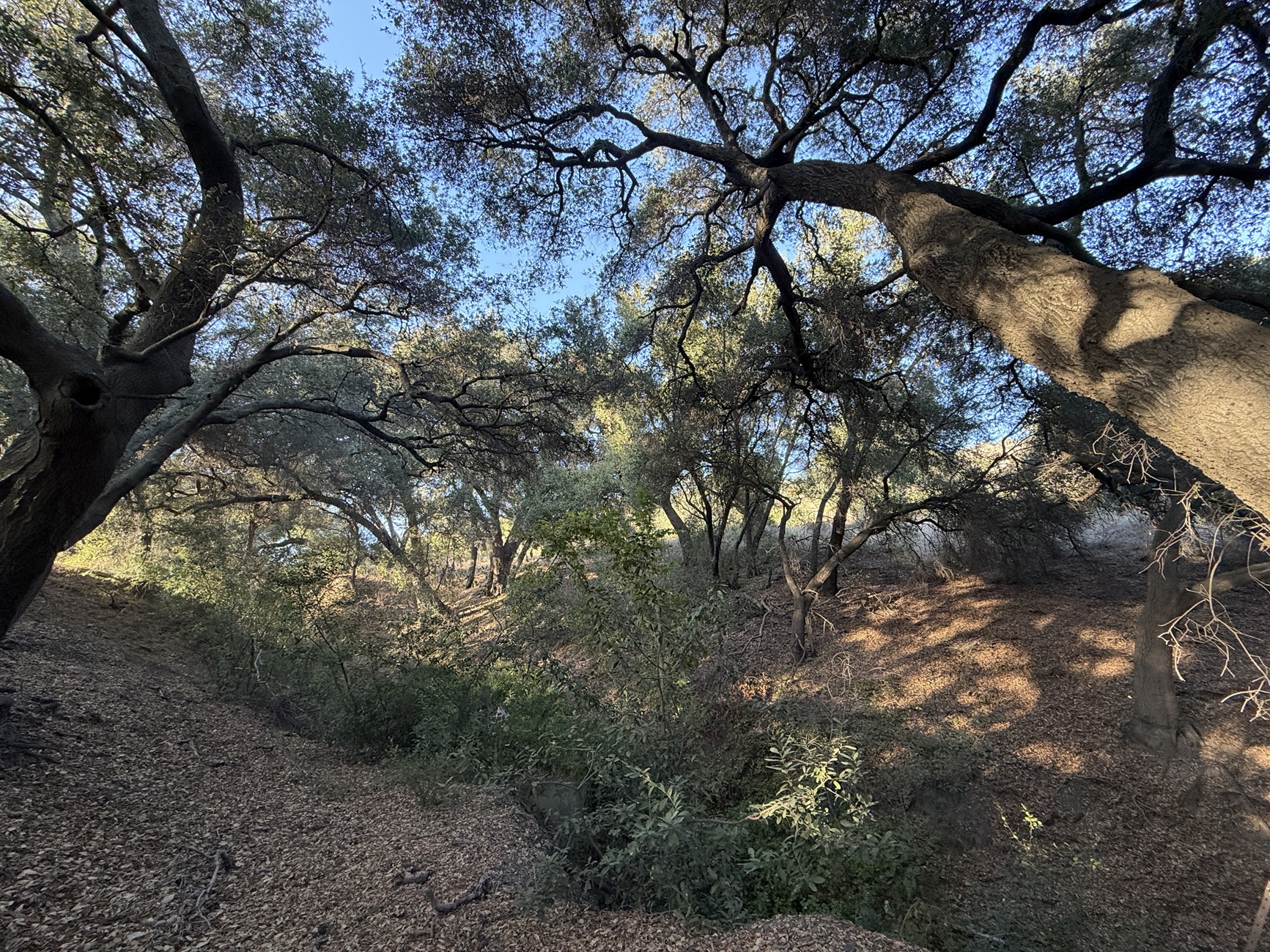
In half a mile, we stop at a dead end. We hop off again and walk ten yards to a nice shady spot. A small grove of coast live oaks provides a dense canopy with much needed shade during this 100-degree heat wave. The twisting branches stretch out in all directions from the massive gnarled trunk. The leaves resemble those of the spiky green holly. Brown leaves and acorn make a nice crunchy carpet on the ground below. If you look up, you will notice beautiful patterns against the sky formed by the branches and leaves. If you listen really carefully, you can the bubbling waters of Box Springs. The water surfaces all year round.
Scanning Hills for Deer
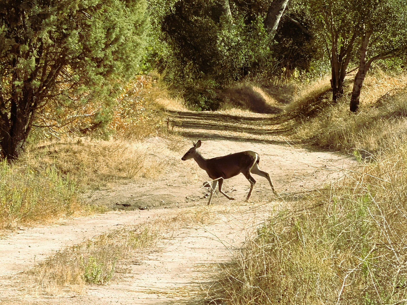
As we drive up and down Loma Ridge, we must have spotted a record number of mule deer. There were at least 20 deer springing up hill slopes and crossing the road. The light brown fur provides great camouflage in the tall green and brown grasses. There were a couple of deer with big antlers relaxing by a bush. Along the road, you also notice big cacti with red prickly pears as well as plenty of yucca plants. Far ahead, a quail bobs up and down and then quickly blends into the hillside. Our guide also points out fascinating plants. On some oak trees, you may see a perfectly spherical round object that looks like a fruit. Don’t eat it! It is actually an oak gall. A wasp lays an egg in a developing leaf bud. The wasp larvae secrete a chemical that causes the round spongy tissue to form, which it then feeds on. The guide also has more palatable observations. He points out the little red lemonade berry plant. He makes a big jug of a lemonade-flavored drink. There are also round yellow coyote gourds that Native people used to create a porridge.
Catching the Last Rays at Loma Ridge
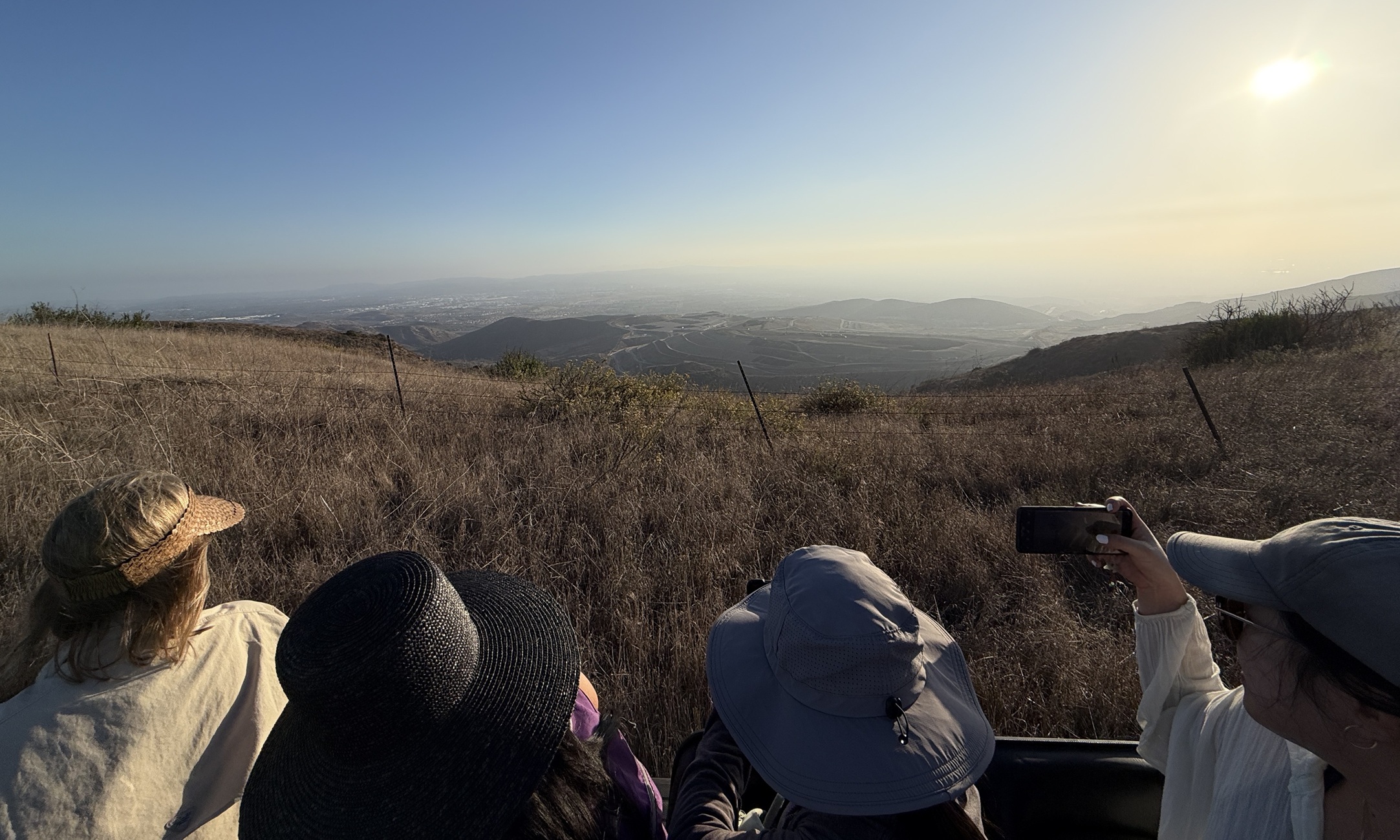
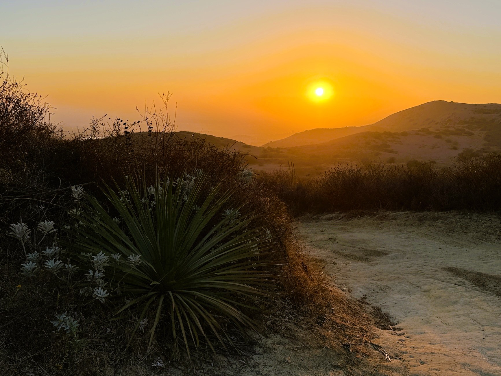
Over the next four miles, we drive along Loma Ridge Road. Every so often, you can see Irvine through the gaps between hills. At a junction with a jeep road, we hop off again for a half mile hike along the ridge. There are better views of Saddleback and the edge of Irvine Lake. On a clear day, you can see the ocean from here. Our guide has us stretch our legs again at an amazing viewpoint on Loma Ridge. He timed it perfectly so the sun would set just below the ridges of the hills in front of us. There are plenty of oohs and aahs as the sky transitions from orange to pink to gray.
Freaks Come Out at Night
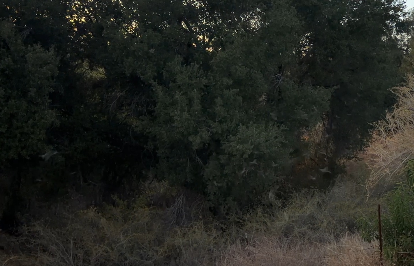
As a bonus, we are heading to a bridge where we can see bats emerge for their nocturnal adventures. Near the Augustine Staging Area, there is an overpass above Santiago Canyon Road. Every evening at dusk, hundreds of Mexican free-tailed bats leave their roosts beneath the bridge and hunt for flying insects. We wait at the edge of the overpass until finally there are a dozen stragglers. Then there is a steady stream of flapping bats who fly straight to the trees next to the bridge. Now that the sun is down, they will continue hunting for an hour or two. Just imagine how many insects it takes to feed this nighttime hunting party.
Then, it is time to climb back onto the bed of the truck and return to the starting point. As we are about to enter the parking lot, someone spots a rattlesnake. The guide and a couple of us jump down to get a closer look. This is a venomous Southern Pacific Rattlesnake, which is gray with black bands. It quickly escapes to a bush on the side of the road. From start to finish, this 4WD adventure has been a memorable experience. It is an incredible way to explore the diverse wildlife, plants, and geological formations in our very own backyard!
Plan Your Visit
|
Interactive Map
Frequently Asked Questions
| How long does photo journey take? |
| The total duration of the 4WD photo journey is 4 hours. This includes all driving time, stops, and time spent hiking. |
| What will you see on the photo journey? |
| The 4WD vehicle will begin its journey past a butterfly habitat and drive just below Limestone Ridge. You will visit both viewing platform of the Sinks with a half mile hike to the eastern side and a brief walk to the western side. You will catch the sunset at Loma Ridge. |
| What do you need to bring? |
| Bring equipment to keep you safe on the trail, including water, proper attire, closed-toe footwear, and first aid. Remember to bring your camera to take photos of the wildlife, plants, and geological formations. |
| How much hiking will you do? |
| There are two short hikes that are about a half mile each. There is also a short walk of ten yards. |
| Are there any toilets? |
| There are toilets only at the Augustine Staging Area. There are no other facilities during the 4-hour tour. |
| How many people will there be in the 4WD vehicle? |
| Up to 10 people can reserve a seat on the 4WD vehicle. Each guest has a seat (with seatbelt) on the back of the flatbed truck. Plus, 2 there are 2 guides and 1 driver behind the wheel. |
| How do I sign up? |
| Register online at the Irvine Ranch Conservancy’s Let’s Go Outside activities. There are 4 photo journey events per year. Each event has 10 spots. |
Other Adventures in Limestone Canyon

Limestone Canyon to the Sinks
9 miles | 1,475′ | 1,500′ gain

Limestone Canyon to Loma Ridge
8.5 miles | 1,385′ | 1,200′ gain
Other Hikes in the Southern California
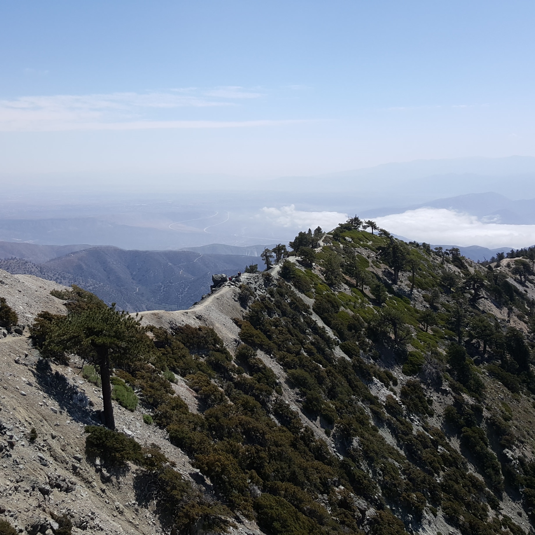
Mt. Baldy (via Devil’s Backbone + West Baldy & Harwood)
6.6 miles | 10,064′ | 2,369′ gain

San Jacinto Peak (via Palm Springs Aerial Tramway)
10.3 miles | 10,834′ | 2,506′ gain

San Gorgonio Mountain (via Vivian Creek)
18.6 miles | 11,503′ | 5,400′ gain