| Distance: 9 miles (out and back) |
Elevation Gain: 3,800 feet |
Peak Elevation: 10,064 feet |
| Objective: Hike Mt. Baldy via Ski Hut route, San Gabriel Mountains, California | Difficulty: Strenuous |
|
Climb the shortest route to the summit of Mount Baldy by following the Ski Hut route. It’s also pretty steep and only the Bear Canyon Trail is steeper. Along the way, you can explore the Sierra Club Ski Hut and enjoy views of the Baldy Bowl. Mount San Antonio is one of the Three Saints in Southern California, with San Gorgonio and San Jacinto. Hardly anyone uses the name Mount San Antonio. On the southern face, the Baldy Bowl is a bare cirque (bowl-shaped amphitheater). This bald patch is visible from LA, which is why everyone calls it by its nickname.
By Edward So, who has summited most of the peaks in the San Gabriel Mountains
Directions to Trailhead
| Head east on the 210, and exit Baseline Road in Claremont. Turn left on Baseline Road. Make a right on Padua Avenue and continue for 1.8 miles. Turn right onto Mt. Baldy Road and drive for 11.5 miles past Mt. Baldy Village. Make a left at Falls Road. Turn left again at Mt. Baldy Road and find parking on the side of the street above Manker Flat campground. |
Directions to Summit
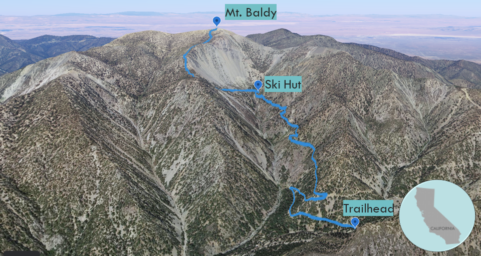
| Start: Begin at Falls Road and head past the gate. 0.5 miles: At the waterfall lookout, the Baldy fire road begins. 1.0 mile: At the junction, turn left up the steep Baldy Bowl Trail. 2.6 miles: After the Ski Hut, the trail reaches the ridge and ascends the summit. 4.5 miles: You have reached Mt. Baldy. Turn around and head back. |
Manker Flat to Ski Hut
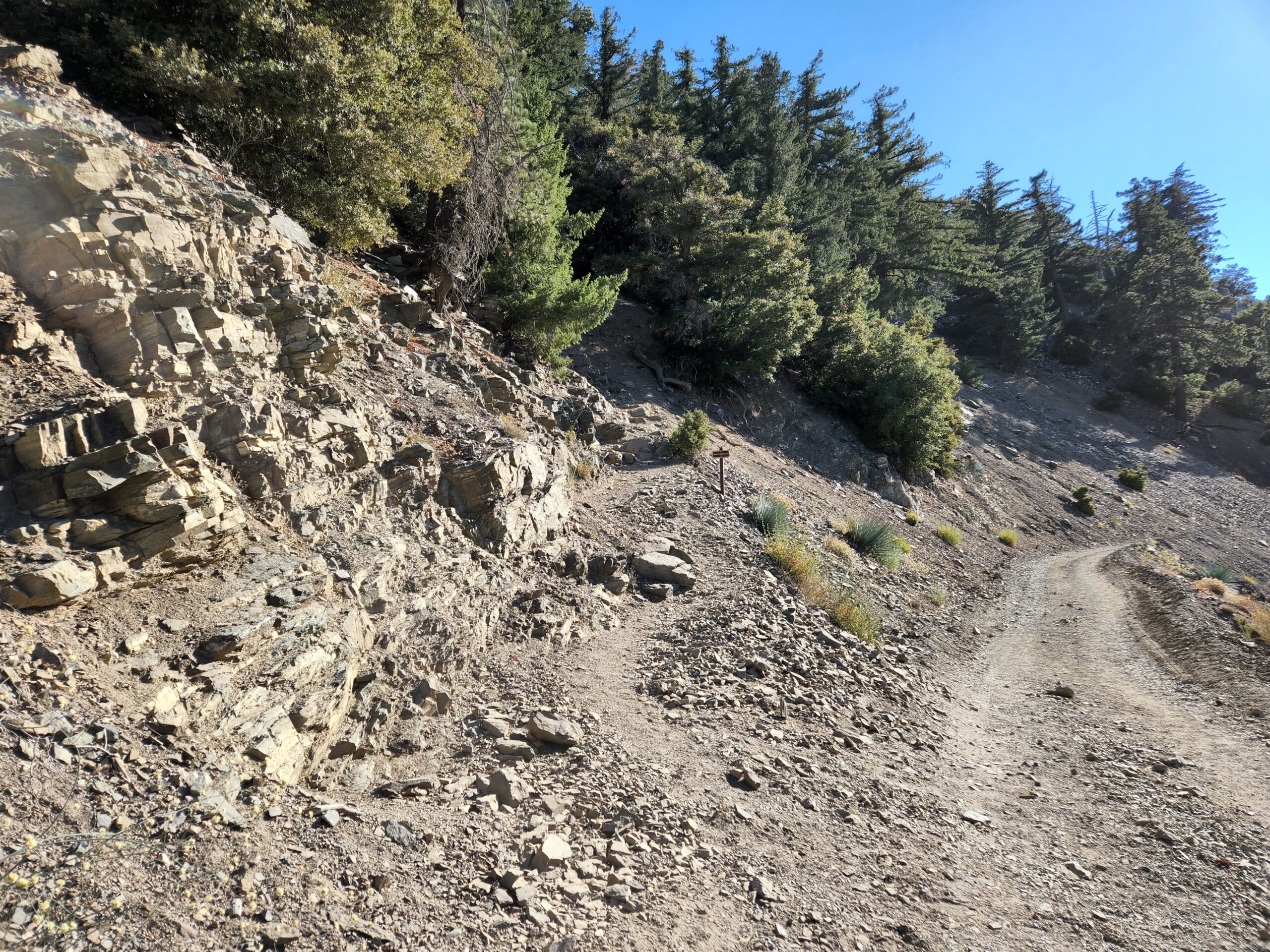
Starting from Manker Flat Campground, the hike to Baldy’s peak is short and steep. In half a mile, Falls Road makes a big U-turn just after San Antonio Falls. After almost another half a mile on the fire road, you will reach the junction with the Baldy Bowl Trail. The narrow trail is easy to miss and forks left up the rocky slope.
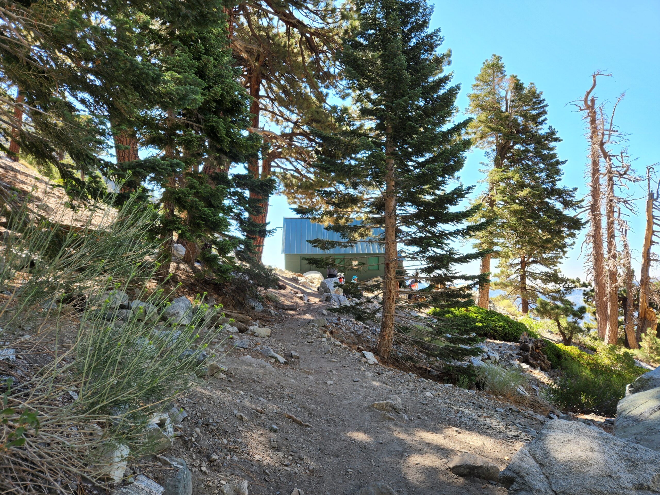
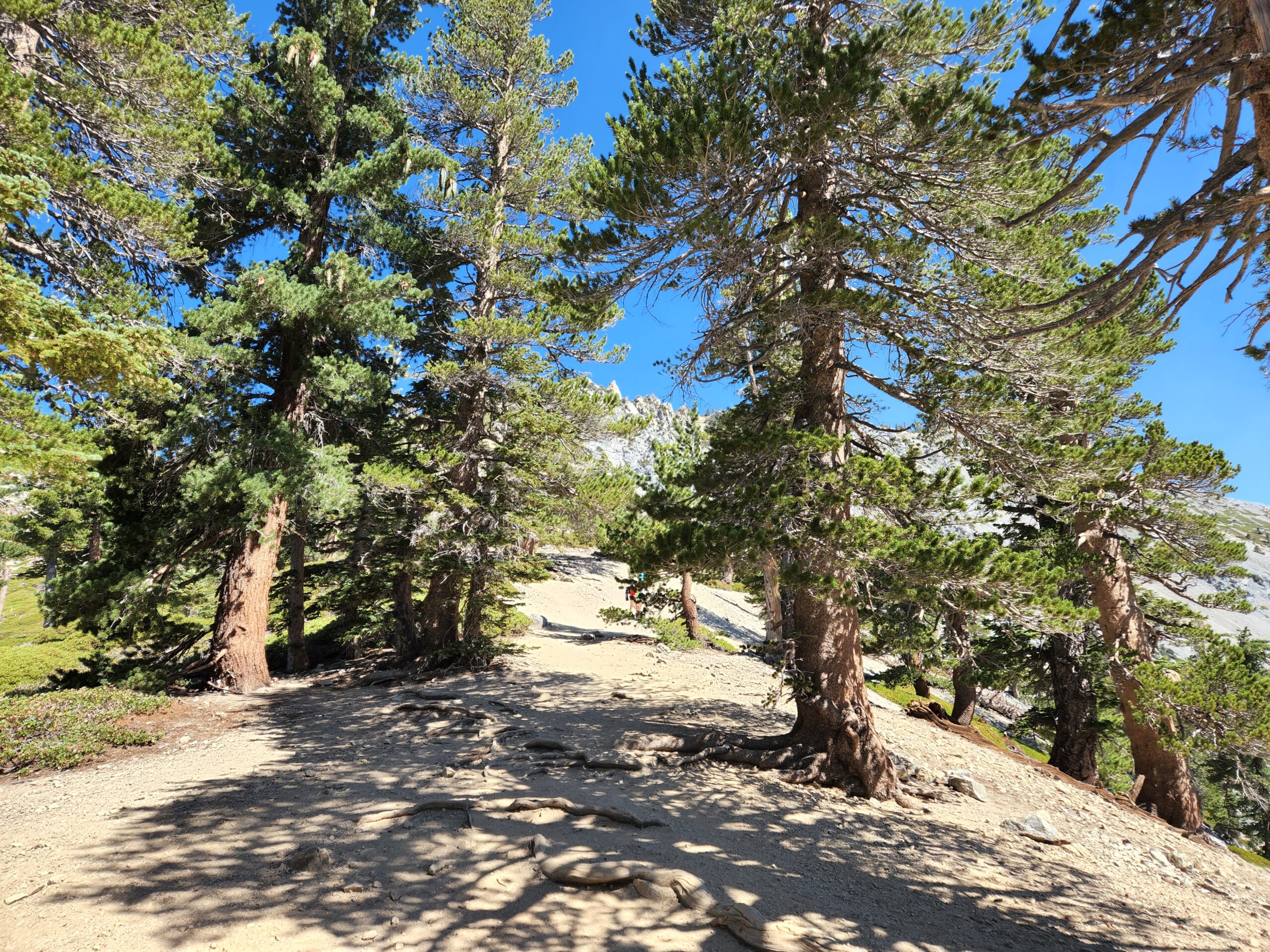
The trail climbs steeply straight up the side of San Antonio Canyon. It has tall vegetation on both sides and reaches a spring. After crossing a spring, a spur trail leads to the Ski Hut near the base of the Baldy Bowl. When the Ski Hut is open, up to six people can spend the night for a fee. (Try and snag a reservation when the Ski Hut is open.)
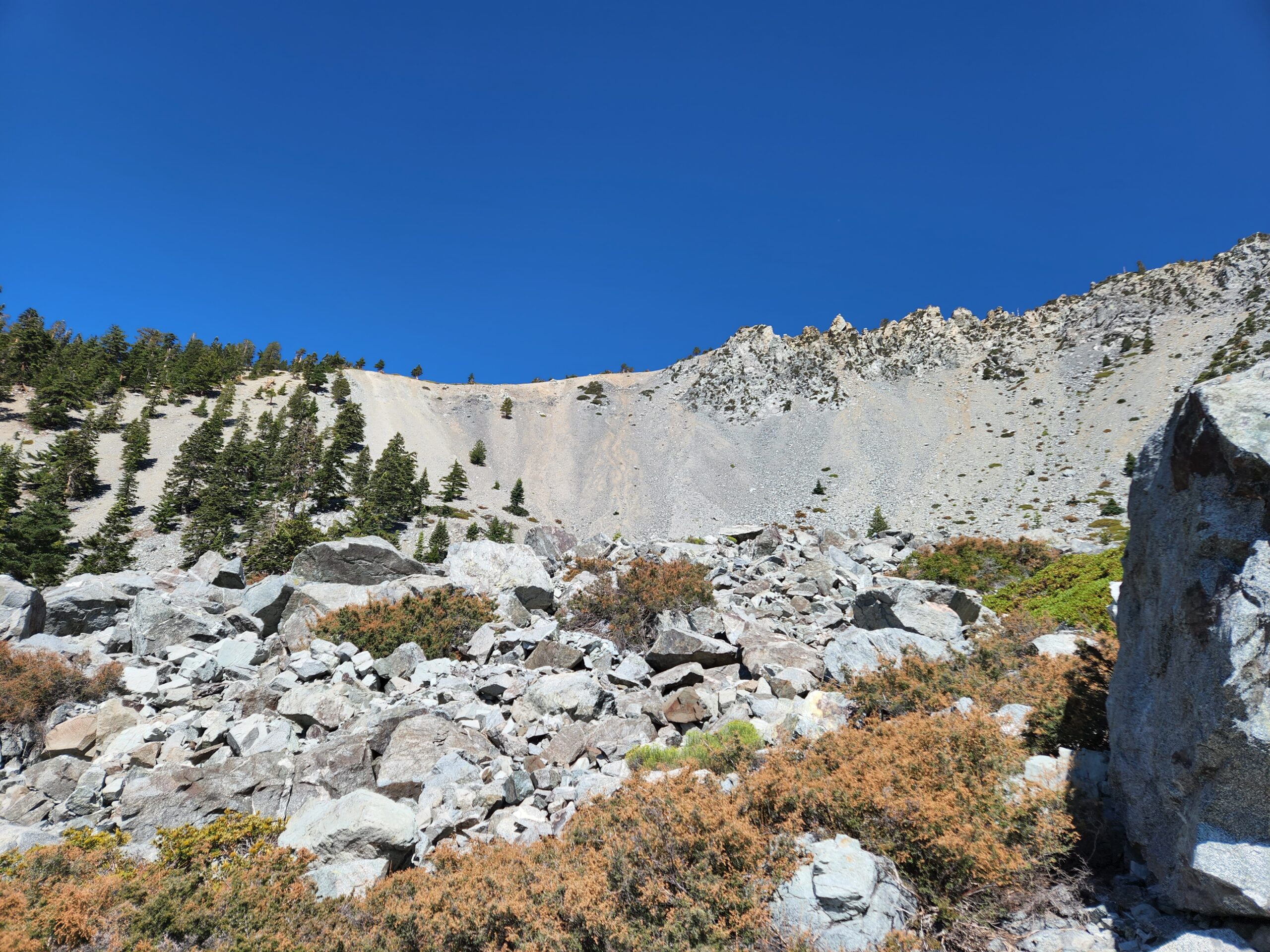
Climb the Ridge Above the Baldy Bowl
From the Ski Hut, the trail is noticeably steeper with 2,000+ feet of elevation gain in under two miles. The tall Jeffrey pines and incense cedars start to thin out and smaller lodge pole pines replace them. At this point, the trail becomes very rocky and then ascends the western edge of the Baldy Bowl. Once you gain the ridgeline, there is a mile-long final push to the top of the summit. The last time I was just below the summit, I leaped unknowingly over a hidden juvenile rattlesnake. For some reason, it wasn’t rattling, yet both the snake and I ended up fine.
On Top of Old Baldy
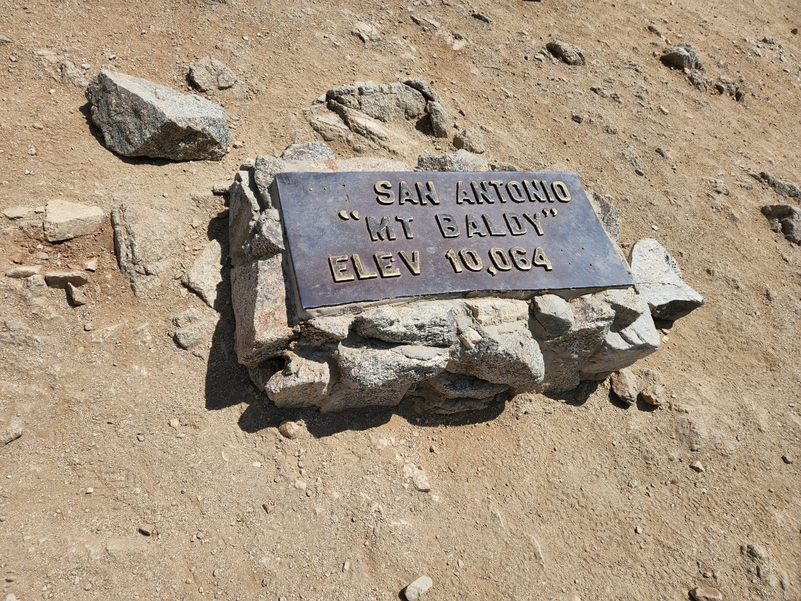
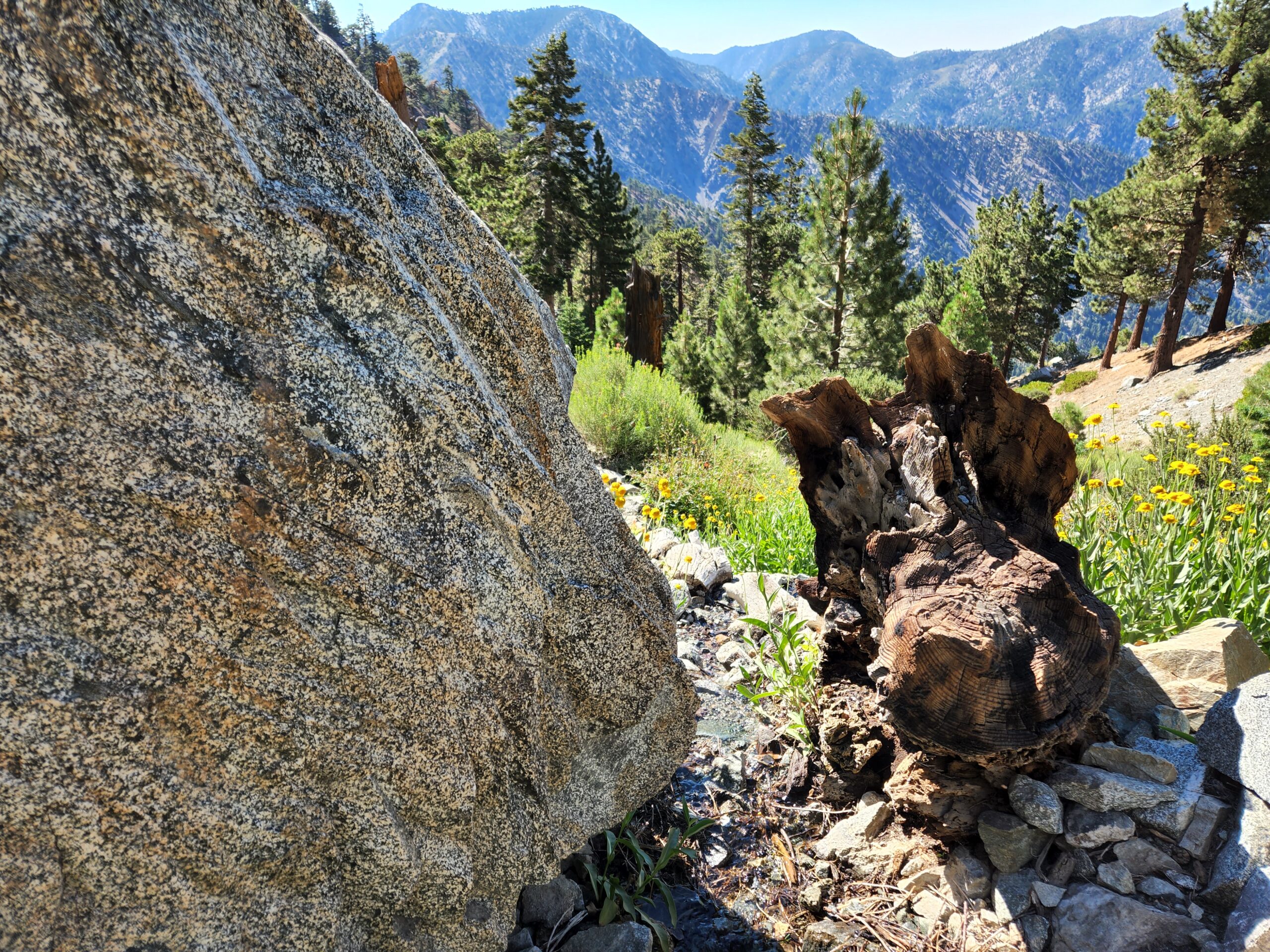
“Baldy” is an appropriate nickname for Mount San Antonio because there are no trees on the gray round dome. At the summit, there are some windbreaks next to the famous metal summit plaque. Baldy is one of 57 ultras in the US. (An ultra peak has at least 1,500 meters of topographic prominence.) From here, you can enjoy views of the other high peaks of the back range of the San Gabriel Mountains.
If you are feeling extra energetic, you can make a clockwise loop by taking the Backbone down to the Notch. Or check out the trail guide about the hike to Mt. Baldy via the Devil’s Backbone.
Red Tape
If you park at the Ski Lift parking lot, you must purchase a $5 parking pass. To park on the roadside, you need an Adventure Pass for each vehicle.
Other Routes to Baldy
You have many options for getting to the top of Baldy. You can hike Mt. Baldy via Ski Hut route, the Devil’s Backbone, or you can combine them both into a loop.
Hike Mt. Baldy via Devil’s Backbone from Baldy Notch | San Gabriel Mountains Trail Guide
Hike Mt. Baldy via Ski Hut and Devil’s Backbone | San Gabriel Mountains Trail Guide