| Distance: 26 miles (round-trip) |
Elevation Gain: -2,400′ (descent to camp), 2,400′ (ascent to Hualapai Hilltop) |
|
| Trip Length: 3-4 days |
Terrain: Canyons, rivers, waterfalls, forests, Havasupai village |
Best time to visit: Whenever you can obtain a permit |
| Objective: Backpacking to Havasu Falls, Havasupai Reservation, Arizona, USA |
Caution: Heat, dehydration, flash floods, camp critters |
|
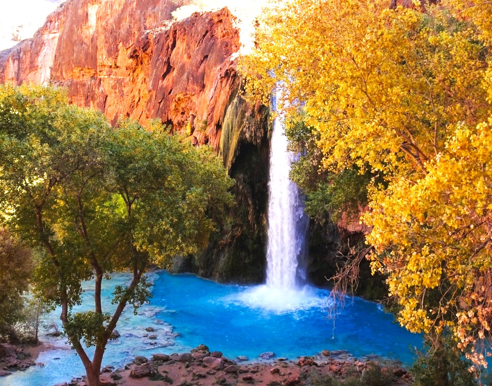
The red walls and cerulean water of Havasu Falls are magnets for seekers and explorers. Havasu Creek is a tributary of the Colorado River that has carved an offshoot over time from the Grand Canyon. The Havasupai nation has closely protected this paradise of pristine waterfalls, turquoise pools, and lush vegetation. By backpacking to Havasu Falls canyon, you will have special access to the beauty of Havasu Falls.
Trail Guide
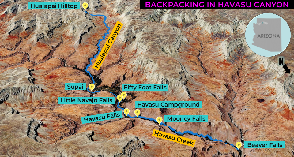
| Hualapai Hilltop: Begin hiking down switchbacks on Havasu Canyon Trail. 6.2 miles: At the junction, turn left onto Supai Trail. 7.1 miles: At the junction, turn right onto Havasupai Village Main Trail. 8.1 miles: At Supai, find the registration office. Stop for lunch. 8.4 miles: At the junction, turn right onto Havasu Falls Trail. 9.0 miles: Explore Fifty Foot Falls / Little Navajo Falls. 9.8 miles: Explore Havasu Falls. 10.0 miles: Set up your tent at Havasu Campground. 10.7 miles: Climb down the cliff. Explore Mooney Falls. 13.0 miles: You have reached Beaver Falls. Turn around and head back to camp. Or, you can hike 4 miles to the confluence of Havasu Creek and the Colorado River. |
Descend into the Canyon
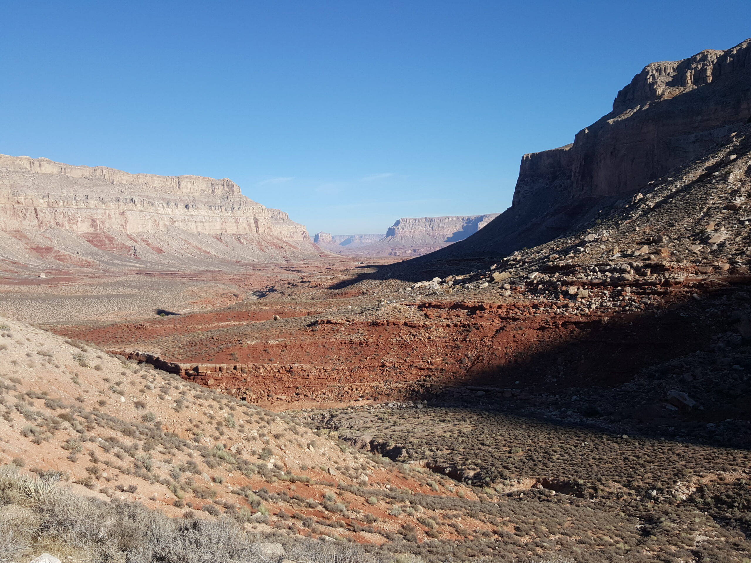
This trail doesn’t play around. Immediately, switchbacks drop a thousand feet down the steep canyon wall. The trail flattens out after two miles. The path meanders through little red canyons and weaves through interesting red rock formations along soft sand. The sun is out, and it is warming up.
This canyon is Grand Canyon adjacent, but it is not actually part of the national park. Havasu Creek (the Colorado River’s tributary) has carved it in a similar fashion on a much smaller scale.
Mule trains haul loads up, as choppers fly gear down to Supai. At one point, a barren of mules is galloping uphill. Twenty seconds later, a little black dog scurries after them with its tongue sticking out.
The red rocks are dripping with black water stains. Water has carved tunnels next to the dry creek bed. Parallel stripes of rock line the trail as well as round blob-shaped pockets.
The sky is so blue and the canyon walls are a jumble of vermilion, pink, and red. There is a lone tree on the canyon floor reaching for the rare sunbeams at the top. There are also large sandstone boulders that have little round holes (perhaps eroded by rain) that have been filled with tiny pebbles.
Hualapai Hilltop to Supai
| Distance: 8 miles (one-way) from Hualapai Hilltop to Supai Elevation Gain: 2,400′ descent from Hualapai Hilltop to Supai |
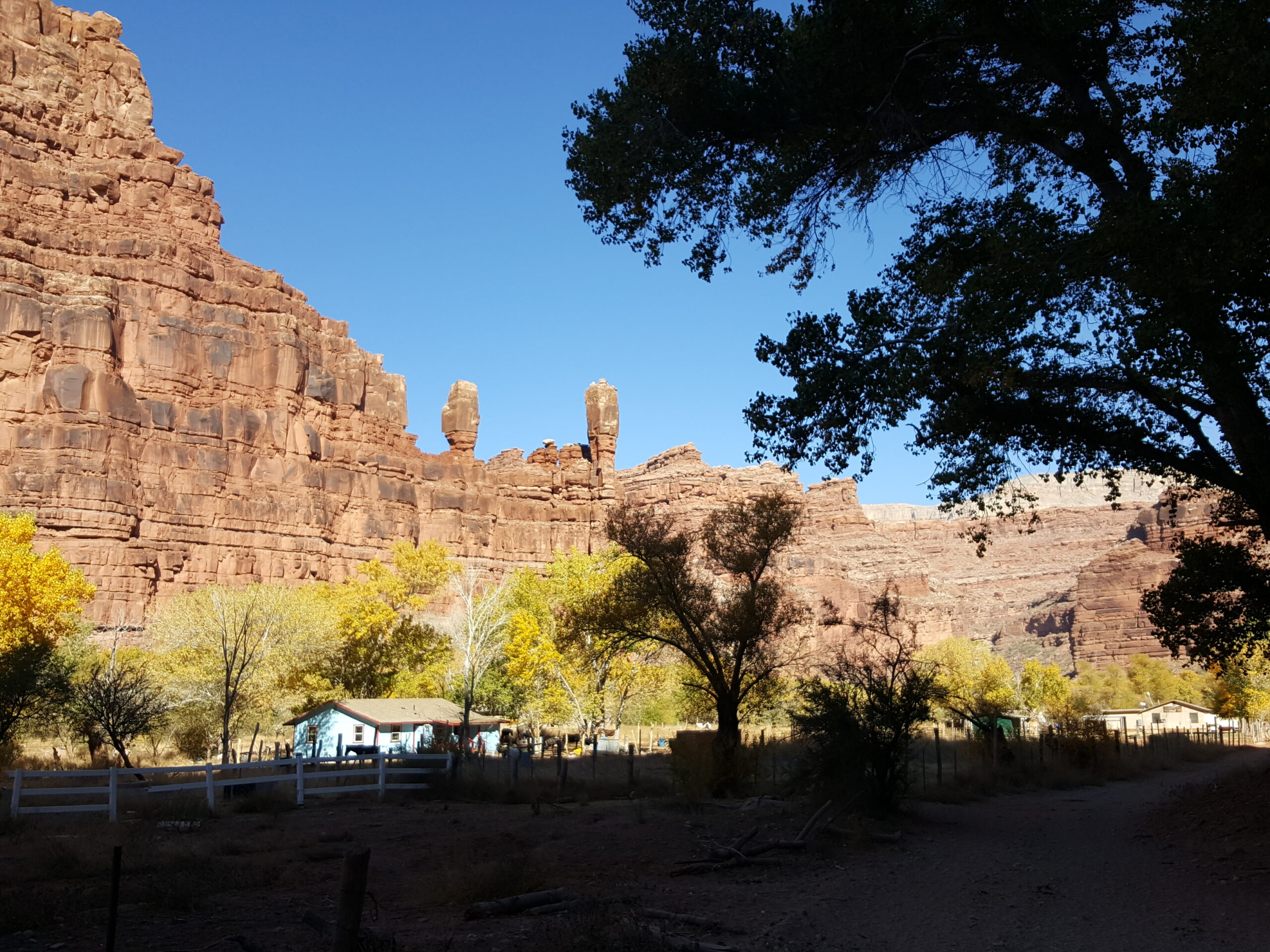
Supai is a vital village in the Havasupai reservation. Two red pillars on the canyon wall mark the gateway to Supai. There are simple homes, the campground registration office, a restaurant, post office, helipad, and a market. You must show your permit and register at the office before proceeding to the camp.
Supai is a nice spot to stop for lunch. Grab a frybread taco (Navajo taco or Supai taco). It is a giant golden-brown flatbread with ground beef, beans, tomatoes, lettuce, and cheese. The crust is crispy on the edges. The center is gooey and absorbs the flavors of the filings.
Supai to Fifty Foot Falls / Little Navajo Falls
| Distance: 1.25 miles (one-way) Plan: Supai to Fifty Foot Falls / Little Navajo Falls |
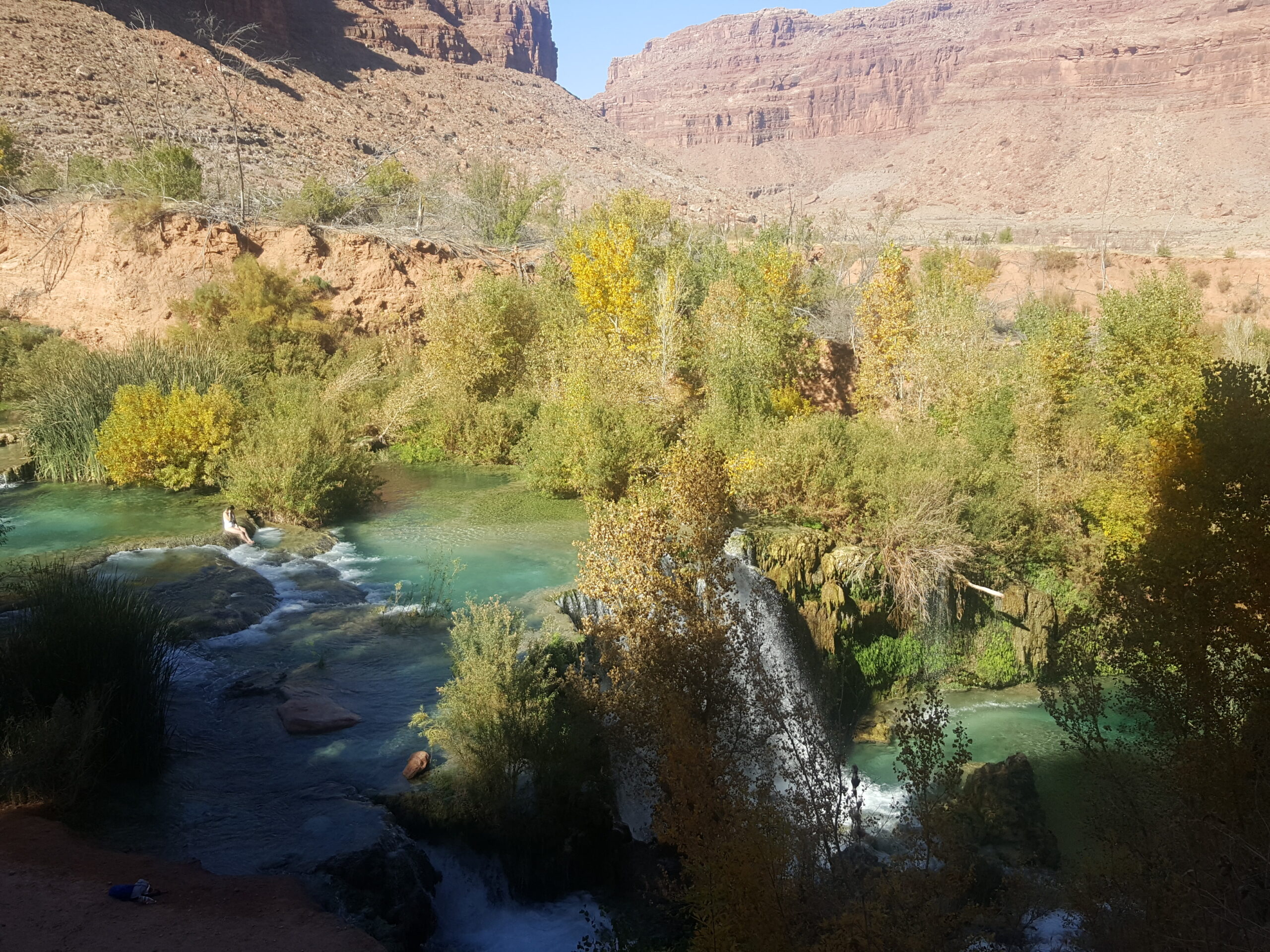
Fifty Foot Falls are about 1.25 miles north of Supai. Little Navajo Falls are right below Fifty Foot Falls. This may be the best swimming spot of the area due to the large terraces and shallow, slow-moving water.
Little Navajo Falls to Havasu Falls
| Distance: 0.25 miles (one-way) Plan: Little Navajo Falls to Havasu Falls |
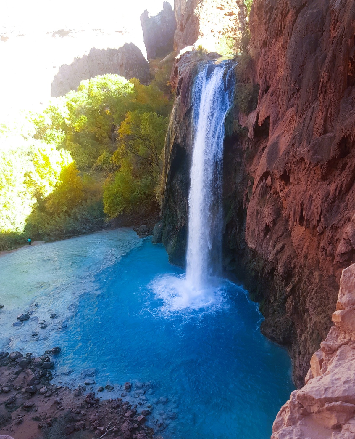
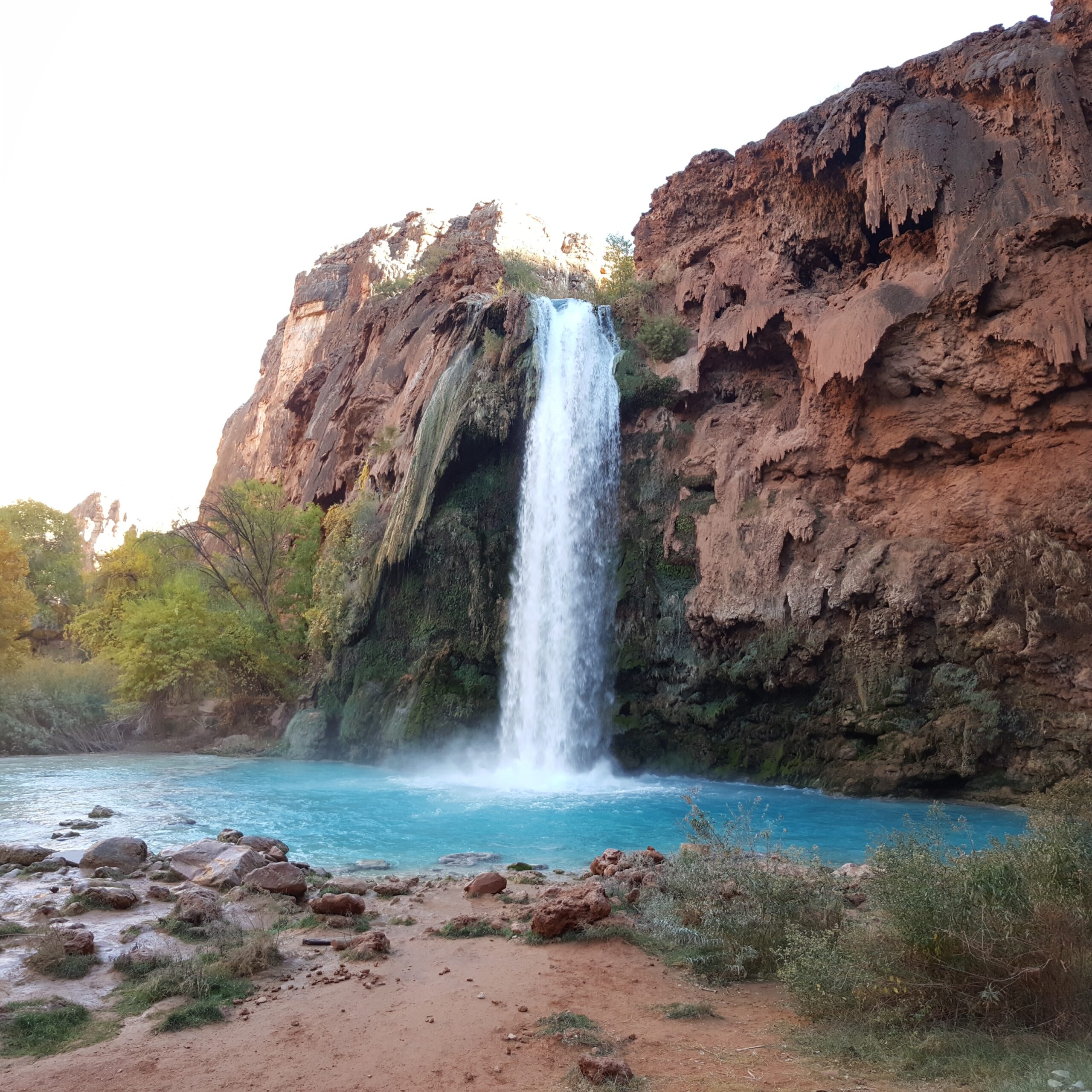
Havasu Falls is a mystical earthly paradise. It is located between red sandstone walls, profoundly blue water, a roaring torrent, and a blanket of stars above. Seeing this oasis firsthand surpasses all expectations. Believe the hype.
About an hour from Supai, the path descends the shoulder of Havasu Falls. As you turn to look down, the water cascades down into a spectacular turquoise blue pool.
Havasu Falls to Havasu Campground
| Distance: 0.25 miles (one-way) Plan: Havasu Falls to Havasu Campground |
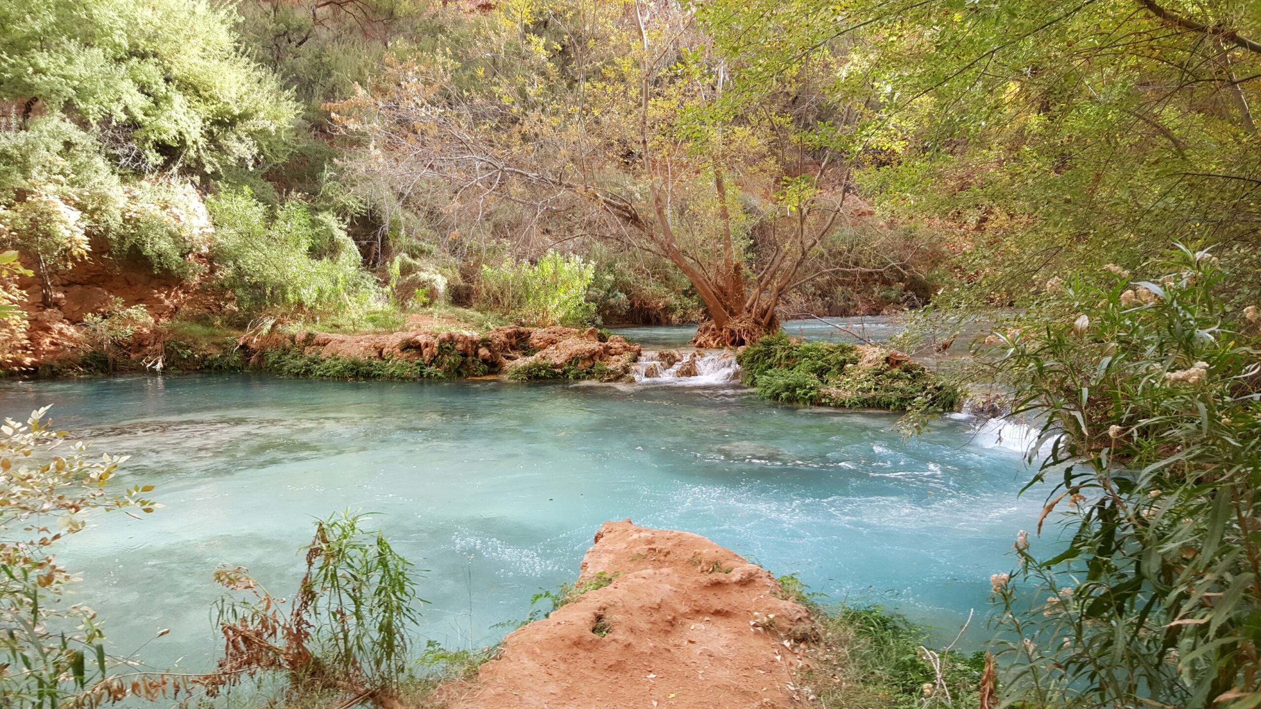
The campsites are located between Havasu Falls and Mooney Falls on either side of Havasu Creek. There are little islands in the creek that are accessible via horizontal wooden ladders. During rainstorms, the islands may become flooded, so you should stick to the high shores. At Fern Springs, there is a faucet next to a stone wall with crystal fresh drinking water. From this camp, all waterfalls are accessible.
Havasu Campground to Mooney Falls
| Distance: 0.5 miles (one-way) Plan: Havasu Campground to Mooney Falls |
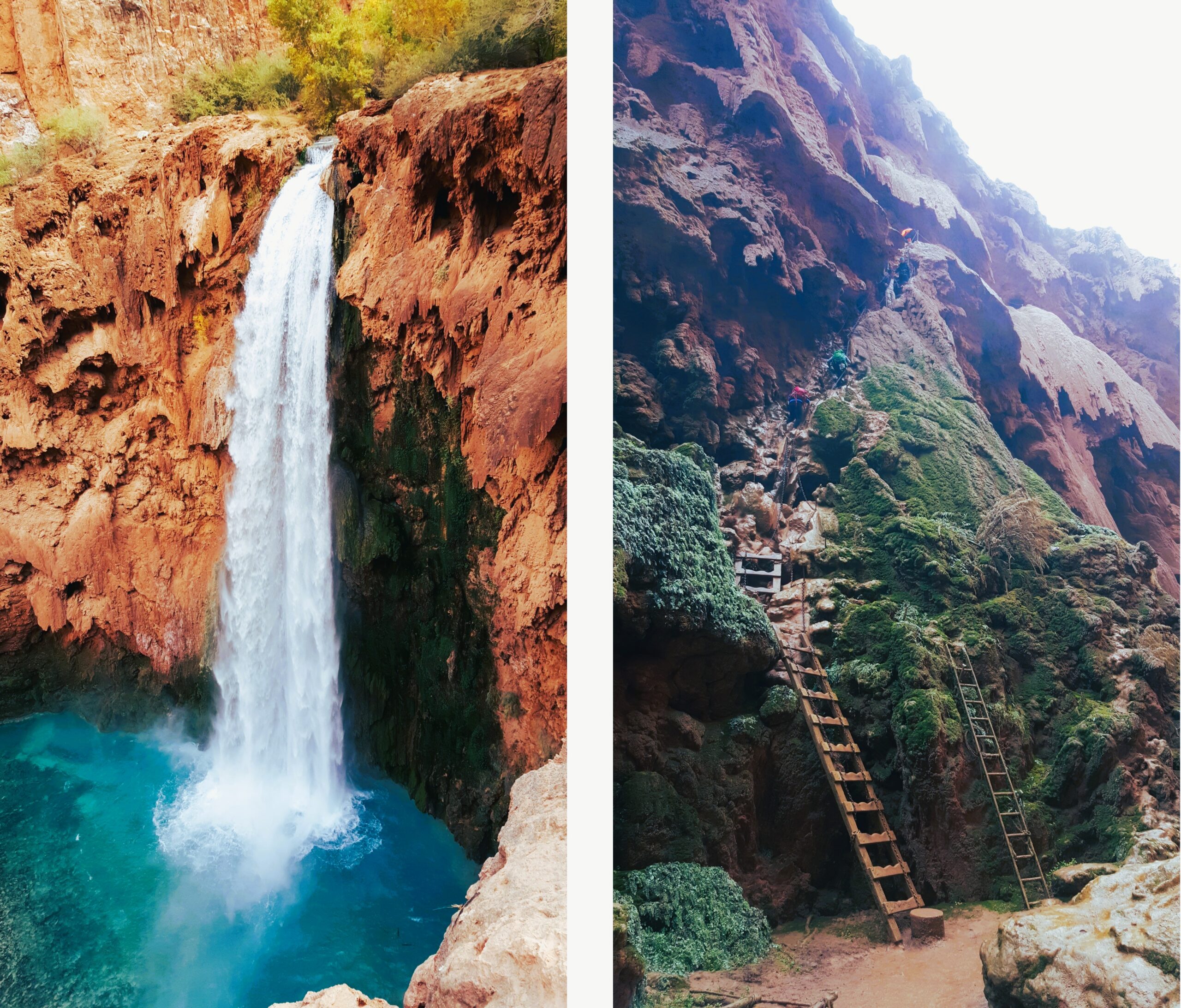
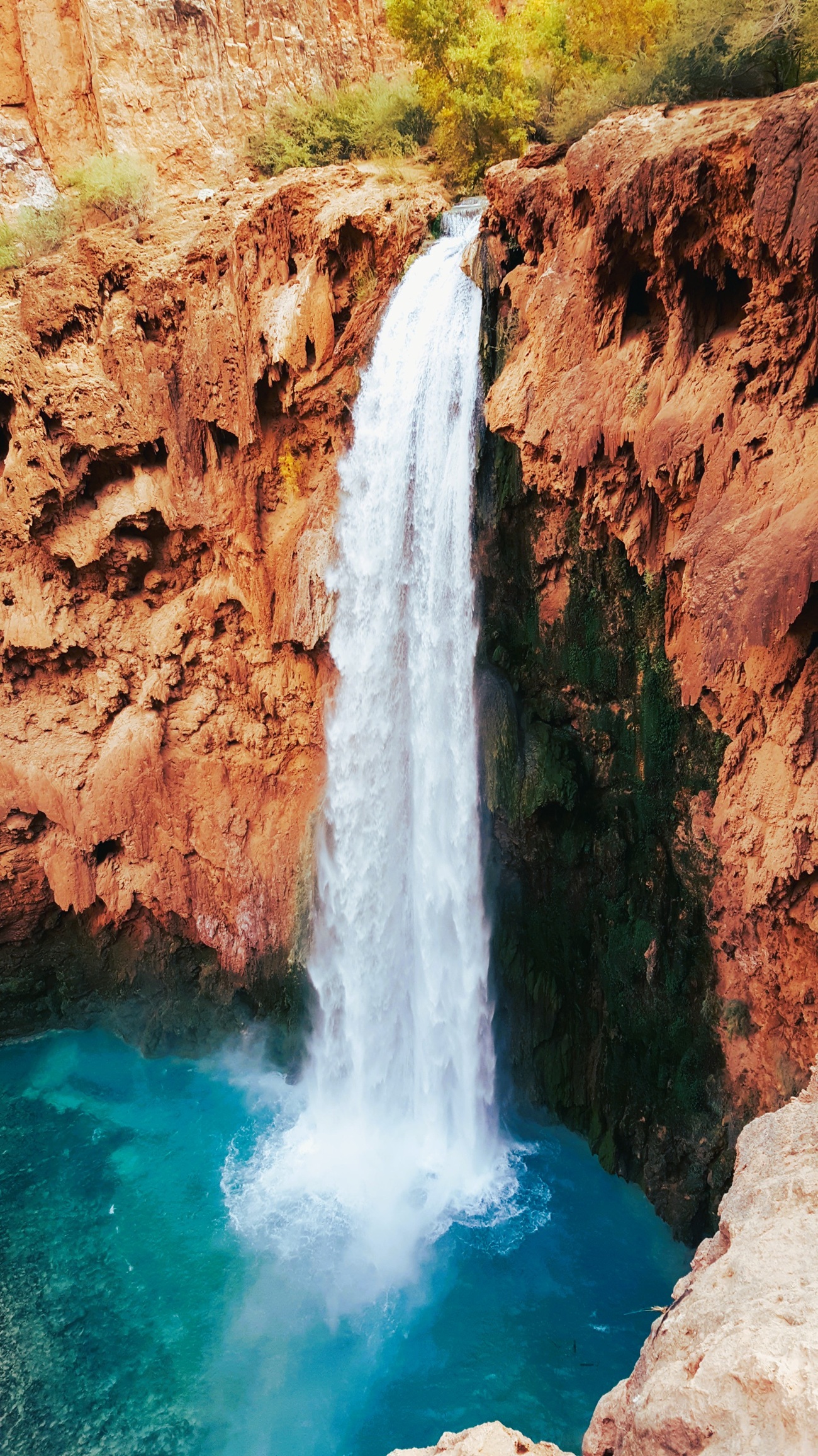
The metaphorical rabbit hole begins as you climb down two dark rocky tunnels. This is not for the faint of heart. The way to the bottom is straight down the side of a vertical cliff. You can hang onto slippery bolted chains as well as ropes. Footholds are a mix of wet rocky knobs, a couple ladders, and a pole with notches. Once you arrive at the base of Mooney Falls, you can breathe again.
Mooney Falls to Beaver Falls
| Distance: 3.75 miles (one-way) Plan: Mooney Falls to Beaver Falls |
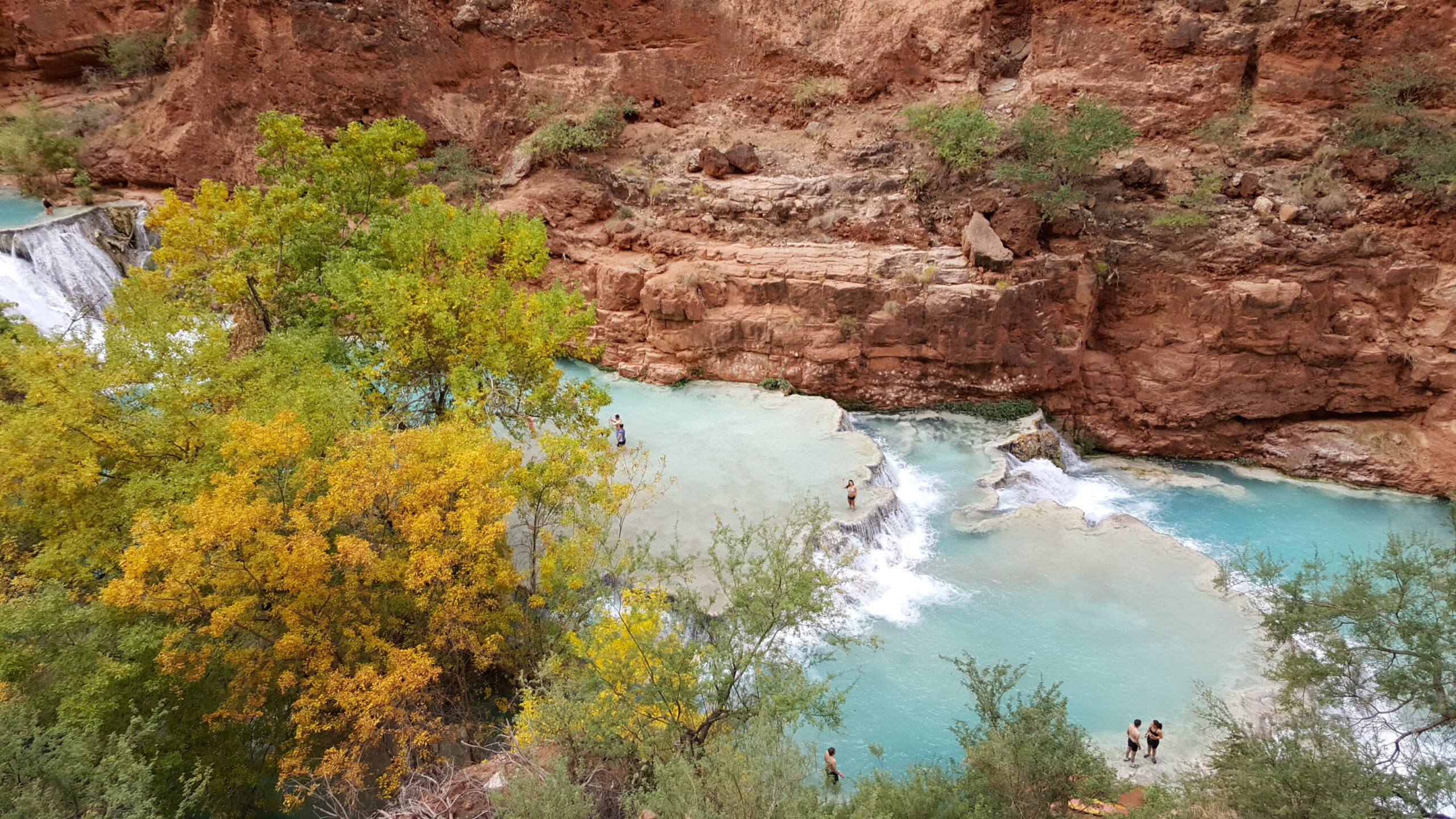
Getting to Beaver Falls is a classic river adventure across soft red dirt paths. There are four river crossings, a romp through vegetation from Jurassic Park, cliff ladders, and a rope-swing swimming hole. Above a hillside of yellow leaves, a family of bighorn sheep is casually grazing. Beaver Falls is a series of descending white travertine walled terraces and cascades feeding excellent turquoise wading pools. Behind one of the chutes is a hidden grotto. If you are up for a challenge, the confluence of the Colorado and Havasu Creek is a few miles further.
Plan Your Visit
You need a campground permit. The registration office does not allow day hiking from Hualapai Hilltop. Reserve a spot at Havasupai Reservations throughout the year. Campground permits are $455 for three nights. The lodges cost considerably more.
At Supai, check in with the registration office to the right of the trail in the center of the village. The office will provide a wristband you must wear during the visit, as well as a tag for your tent.
Directions
| Head east on the 40. From Kingman, Arizona, head east on Route 66 for 57 miles. After Peach Springs, turn left on Indian Road 18. Drive for 60 miles until you reach the end at Hualapai Hilltop. There is a large parking lot with toilets at the trailhead. (You can stay in Peach Springs the night before or camp here. There is no water available at the trailhead.) |
Video Tour of Backpacking to Havasu Falls
Interactive Map
Trek Statistics
| From | To | Distance |
| Hualapai Hilltop (5,174’) | Supai (3,195’) | 8.1 |
| Supai (3,195’) | Fifty Foot Falls / Little Navajo Falls |
0.9 |
| Fifty Foot Falls / Little Navajo Falls |
Havasu Falls | 0.8 |
| Havasu Falls | Havasu Campground | 0.2 |
| Havasu Campground | Mooney Falls | 0.7 |
| Mooney Falls | Beaver Falls | 2.3 |
| One-Way Total | 13.0 miles | |
Frequently Asked Questions
Difficulty |
| What is the distance to Havasu Campground? This trail descends 10 miles through Hualapai Canyon and Havasu Canyon to Havasu Campground. Remember this distance because you will have to carry your backpack back up the canyon to return to the trailhead. |
| What is the elevation gain in Havasu Canyon? From the Hualapai Hilltop trailhead, there is an elevation loss of 2,400 feet across 10 miles to Havasu Campground. When you climb back up, it will be a 2400-foot elevation gain to return. From Havasu Campground, it’s about another 500 feet down to Beaver Falls below. |
Planning |
| Do you need a permit to camp in Havasu Canyon? You need a campground permit. The registration office does not allow day hiking from Hualapai Hilltop. Reserve a spot at Havasupai Reservations throughout the year. Campground permits are $455 for three nights. The lodges cost considerably more. |
| How long is the campground permit valid for? All bookings are for 4 days / 3 nights. |
Are there other ways of getting to Havasu Campground besides backpacking?
|
Gear checklist
|
If you have some extra time while you are in the area, consider backpacking in the Grand Canyon.