
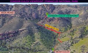
| Location: Condor Gulch Viewpoint, Pinnacles National Park, California Distance: 2 miles (out & back) Peak Elevation: 1,860 feet Elevation Gain: 542 feet Difficulty: Easy |
You probably won’t see condors on the Condor Gulch Trail. If you’re hoping to see condors, you should hike the High Peaks Trail. Go on this hike either as a warm-up or a cool-down to a High Peaks adventure. The highlight of this walk is looking up at the pinnacles of the High Peaks area.
| Directions to Trailhead | Hiking Directions | Trek Highlights | Photos |
Directions to Trailhead
| From the 5 just north of Kettleman City, take exit 325. Turn left on Jayne Avenue and drive 10.6 miles. Continue on CA-33 N/E Polk Street and drive one mile. Turn left onto Elm Avenue and continue 33.9 miles on CA-133 W. Turn right onto CA-25 and continue 33.1 miles. Make a left turn onto CA-146 W and drive 3.8 miles. Turn left and drive 1.2 miles. Make a sharp turn. Park at the Bear Gulch Day Use Area. |
Hiking Directions
| Trailhead: Head northwest on Condor Gulch Trail. 1 mile: You have reached Condor Gulch Viewpoint. Turn around and return to the trailhead. |
Trek Highlights
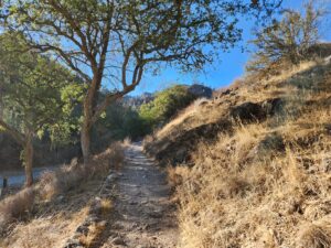
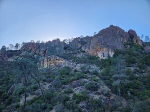
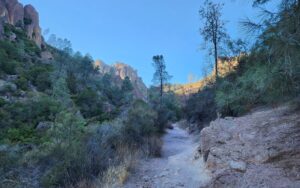
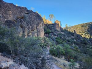
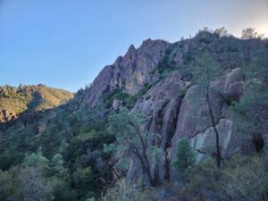
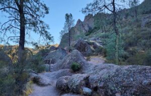
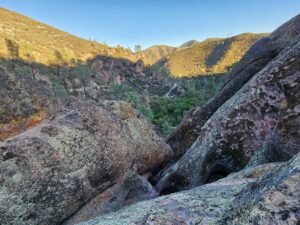
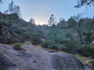
From the Bear Gulch parking lot, the trail rises gently above Condor Gulch Road. After the road ends, the trail turns and hugs the canyon wall. At about 0.6 miles from the ranger station, the trail turns into what I presume is Condor Gulch. During this final stretch, you’ll have the best views of the High Peaks area above and to the west. At just under the one-mile point, take the spur to the overlook. From the viewpoint, there’s a nice view of the gulch below and the jagged rock formations in every direction. If you’re hoping to see condors, your best bet is to do the High Peaks Trail. At this point, you can return to Bear Gulch or complete the trail and link up with High Peaks Trail.
Photos
More to See in Pinnacles National Park