| Distance: 11.1 miles (out and back) |
Elevation Gain: 3,400 feet |
Peak Elevation: 8,441 feet |
| Objective: Hike Bighorn Peak via Icehouse Canyon, San Gabriel Mountains, California | Difficulty: Strenuous |
|
The San Gabriel Mountains have two parallel east-west ranges. The front range is to the south and overlooks Los Angeles and San Bernardino counties. The northern back range is taller and goes from 6,000′ to 10,000′ with Baldy at the top. A general rule is to hike the front range in cooler seasons and the back range in warmer seasons.
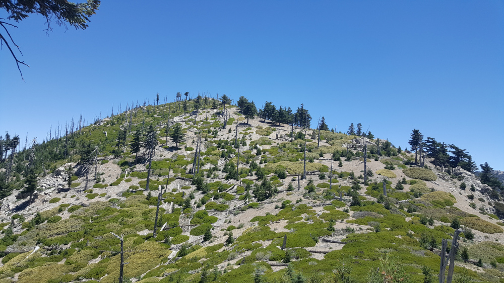
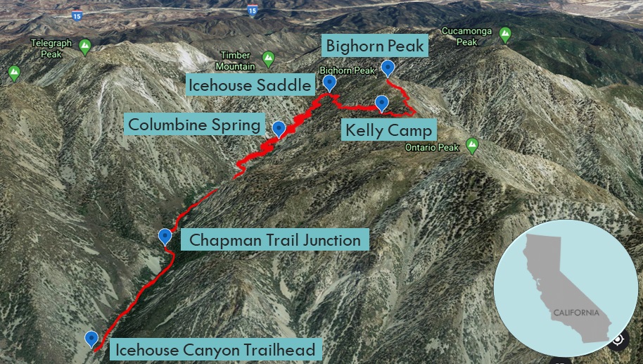
Nestled in the Cucamonga Wilderness, in the eastern end of the back range is Bighorn Peak. The trail goes up Icehouse Canyon to Icehouse Saddle. It then follows a ridgeline that connects Bighorn Peak to Ontario Peak. You can hike to either peak or both.
Directions to Trailhead
| Head east on the 210, and exit Baseline Road in Claremont. Turn left on Baseline Road. Turn right on Padua Avenue. In 1.7 miles, turn right onto Mt. Baldy Road. In 7.2 miles, go past Mt. Baldy Village. Continue 1.5 miles and turn right at Icehouse Canyon Road. The trailhead is at the far end of the parking lot. |
Directions to Summit
| Trailhead: The hike begins on Icehouse Canyon Trail. 1 mile: At the Chapman Trail junction, continue ahead on Icehouse Canyon Trail. 1.8 miles: There is a sign for the Cucamonga Wilderness. 2.4 miles: Columbine Spring is on the north slope above the canyon. 3 miles: At the second Chapman Trail junction, stay right on Icehouse Canyon Trail. 3.6 miles: At Icehouse Saddle, turn right and follow the Ontario Peak Trail. 4.3 miles: The trail passes the eastern edge (to the left) of Kelly’s Camp. 4.8 miles: The trail climbs through some narrow shrubs to the ridgeline. (Bighorn Peak is 0.75 miles to the east and Ontario Peak is 1 mile to the west.) Turn left, leave the trail and head east up the ridge to the summit. 5.55 miles: You have reached Bighorn Peak. Turn around and head back. |
Icehouse Canyon
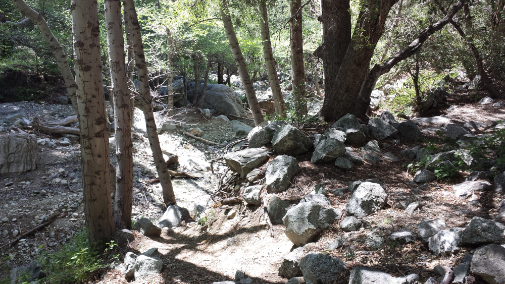
The Icehouse Canyon Trail runs alongside a creek, featuring cabins, honey-scented blue ceanothus, rocks, and streams. At the start, there is a giant tree whose roots restrain giant boulders. The trail becomes rocky just before it crosses a dry riverbed.
After crossing the creek, you enter the Cucamonga Wilderness area. The trail then gently climbs to a big rock. The way is long, steep, and gradual like a slide, but covered with stable little stones. The trail steadily climbs the side of the canyon until it begins to switchback like crazy below Icehouse Saddle.
Icehouse Saddle
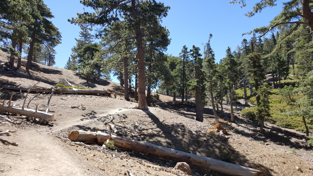
Right below Icehouse Saddle, the breeze seems to carry you up as the trail levels off. From the saddle, you can see all the neighboring peaks.
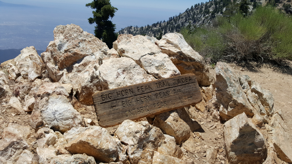
The ridge connecting Bighorn to Ontario
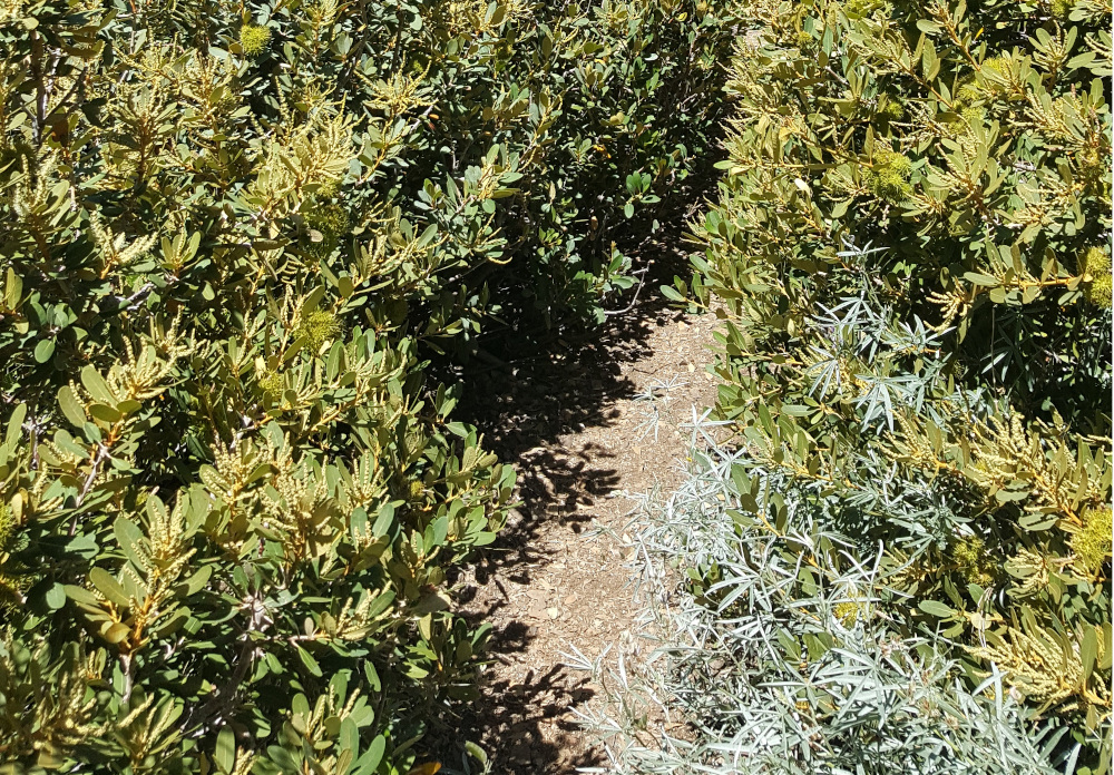
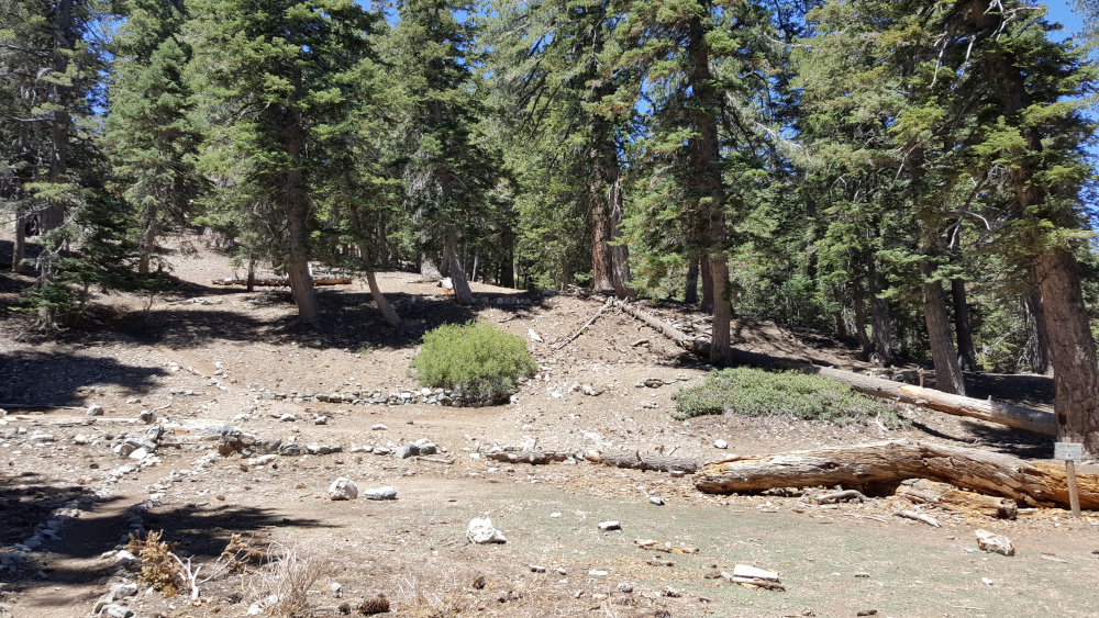
The pine needle covered Ontario Peak trail hugs the slope beneath the ridgeline. After a mile, you pass Kelly’s Camp. Then you climb through dense shrubs and over logs to the ridge connecting Bighorn Peak to Ontario Peak. The trail along the ridge dips ever so slightly before climbing the slope of Bighorn Peak.
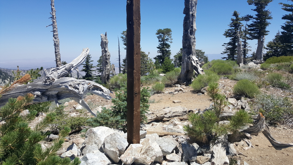
Bighorn Peak
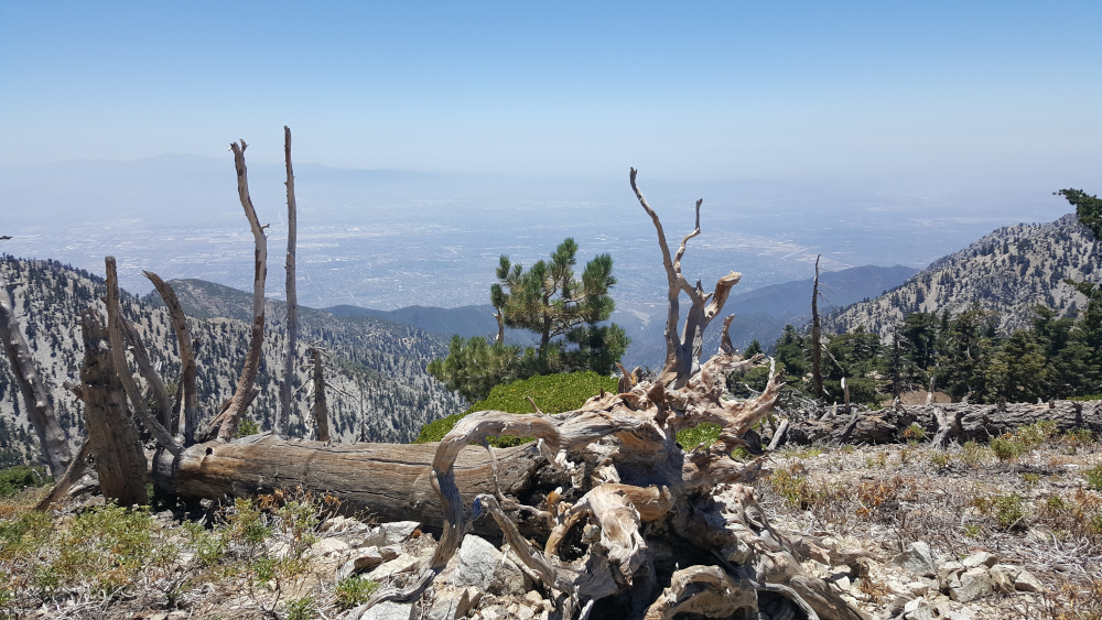
At the summit, soak in views of Cucamonga to the east, Ontario Peak to the west, and SoCal to the south. On this day, there were gray squirrels, chipmunks, a young deer, bumblebees, screeching California scrub jays, and a hooded oriole.
Factoids
Years ago, Bighorn sheep were numerous in the San Gabriels. You may see a few survivors. They named this peak in their honor.
Red Tape
Display your adventure pass at the parking lot. Fill out a Self-Service Wilderness Permit at the trailhead kiosk.
Nearby Peaks
If you are in the mood for more peakbagging, here are some nearby peaks.
Hike Cucamonga Peak via Icehouse Canyon | San Gabriel Mountains Trail Guide