| Objective: Summit Santiago Peak, Santa Ana Mountains, California Distance: 18 miles (out and back) Peak Elevation: 5,687′ Elevation Gain: 2,839′ Difficulty: Strenuous |
Santiago Peak and Modjeska Peak are connected by a long saddle, Saddleback, the highest point in the Santa Ana Mountains. Santiago Peak is the high point in Orange County. Old Saddleback is a landmark in eastern Orange County that can be seen as far away as north of LA. Maple Springs Road is not as scenic as Holy Jim Trail and it is a longer route. But, you do not need a high clearance vehicle to get to the trailhead. This route is great for climbing both Modjeska Peak and Santiago Peak.
Directions to Trailhead
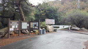
| Drive south on the 5. At Irvine, take exit 100 for Jamboree Road. Turn left on Jamboree and head northeast. Continue 5.9 miles on Jamboree. Turn right on East Santiago Canyon Road and drive for 6.5 miles. Turn left on Silverado Canyon Road and follow the road east for about 5.5 miles until you reach the Maple Springs Visitor Center. When the gate is open, drive 3 miles to the end of the paved road. Park in one of the few spots at the end of the road. |
Directions to Summit
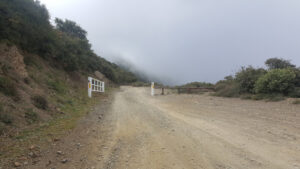
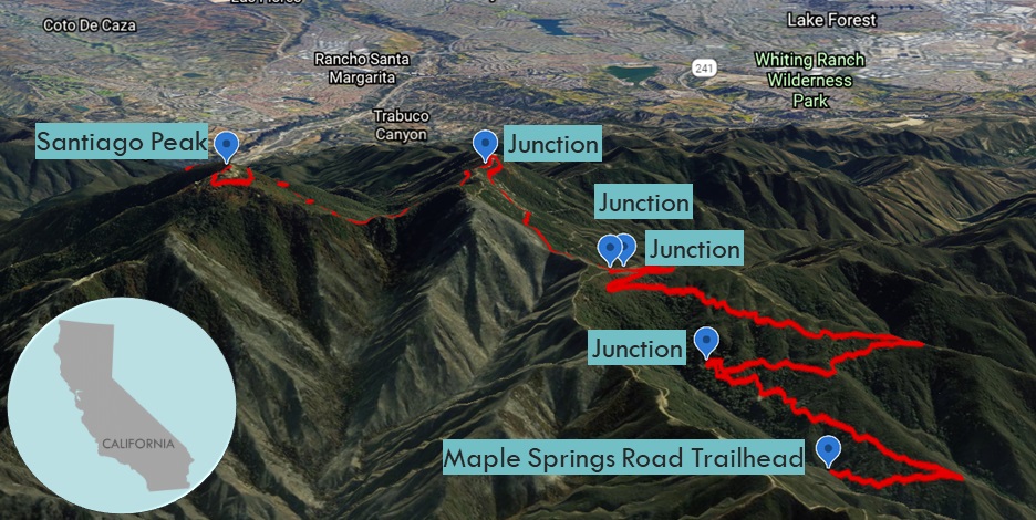
| Trailhead: Head northwest up Maple Springs Road. The road heads south before turning northwest again. 2.5 miles: After a big bend, the road heads south and up a couple switchbacks leading to a three-road junction. 4.35 miles: At the three-road junction, bypass the Harding Truck Trail on the right, turn right at the gate and head south on Main Divide Road. 5.75 miles: Make another 180-degree left turn. 5.91 miles: Bypass the rising service road on the left to Modjeska Peak. Walk across Old Saddleback. 7.99 miles: The trail makes a U-turn. 8.78 miles: Bypass a road on the right, and then immediately turn right. 9.0 miles: You have reached Santiago Peak. Turn around and head back. |
Trek Highlights
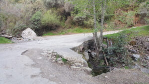
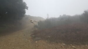
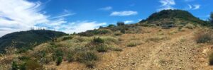
Maple Springs Road is full of trucks, motorcycles, mountain bikes, and lots of exhaust. This high clearance dirt road is flat except for short stretches strewn with baseball-sized rocks below the U-turn before Modjeska. Every so often, you may have to step to the side to let the trucks and bikers get through the single track.
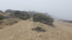
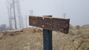
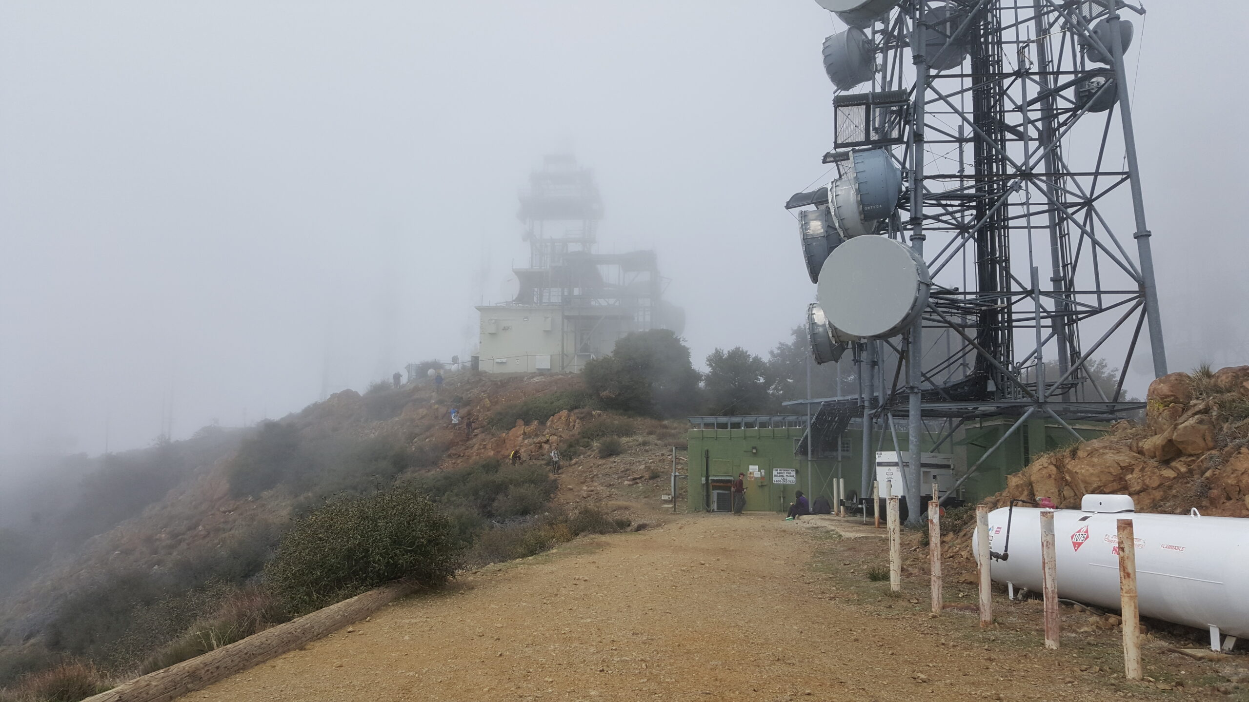
During the walk across Saddleback, you can see the foothills of Saddleback Valley below. Near the top, there are windy gusts rolling across the slope, sonically similar to frothy waves. At the summit, there are many telecom buildings and radio towers. If you walk around the plateau and avoid the antennas, you can see far-off mountain ranges on a clear day. Enjoy the views. Santiago Peak is the highest point in Orange County and the Santa Ana Mountains.
Red Tape
Display your adventure pass.
Factoids
The apostle and patron saint of Spain, Santiago (Saint James) was frequently used by the Spanish for place names. This peak was labeled Santiago Peak when the Geological Survey mapped the Corona Quadrangle in 1894. They also changed the name “Cussing Jim” to “Holy Jim”.
Photos