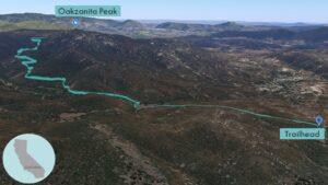
| Objective: Summit Oakzanita Peak, Cuyamaca Mountains, California Distance: 5.4 miles (out and back) Peak Elevation: 5,054’ Elevation Gain: 1,145’ Difficulty: Moderate |
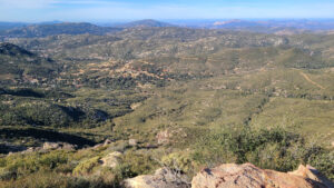
Oakzanita Peak is at the southern end of the Cuyamaca Mountains, the closest mountain range with snow to San Diego. The Cuyamacas are covered with green chaparral and oak trees, probably the source of the summit’s moniker.
Directions to Trailhead
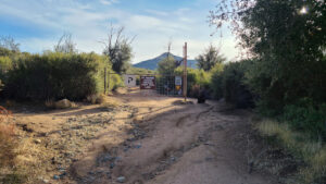
| From the 5 S before La Jolla, merge onto the 805 S and continue for 10.7 miles. By Mission Valley, merge onto the 8 E and drive for 33.5 miles. Take exit 40 for CA-79 N. Turn left onto CA-79 N and continue 6.4 miles. Park on the right side just after East Mesa Road. The trailhead is by the gate on East Mesa Road. |
Directions to Summit
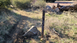
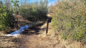
| Trailhead: Begin hiking east on East Mesa Road. 0.5 miles: Turn right onto Upper Creek Descanso Trail. 2.0 miles: Turn right and follow the spur trail to the summit. 2.7 miles: You have reached Oakzanita Peak. Turn around and head back. |
Trek Highlights
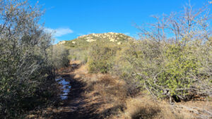
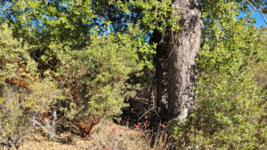
East Mesa Fire Road is a wide road with many trees. There are some oak trees and manzanita, perhaps the source of the portmanteau, Oakzanita? After half a mile, make a sharp right turn right onto Upper Creek Descanso Trail. The path is smooth and gradual all the way up.
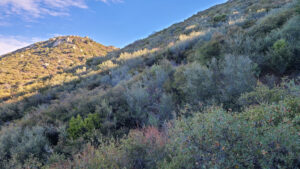
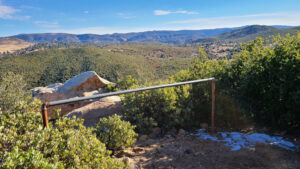
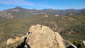
There are a few switchbacks until the saddle. Near the top, the trail loops 270 degrees around the peak, which makes the trail look like a walking cane. At the summit’s giant granite perch, a couple crows are riding the thermals in nice tight spirals.
Photos