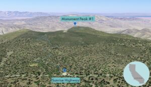
| Objective: Summit Monument Peak #1, Laguna Mountains, California Distance: 2.9 miles (out and back) Peak Elevation: 6,271’ Elevation Gain: 528’ Difficulty: Easy |
Sunrise Highway links Monument Peak, Garnet Peak, and Garnet Mountain. With three short hikes, you are rewarded with the highlights of the Laguna Mountains.
Directions to Trailhead
| Head south on the 5. At Torrey Hills, merge onto the 805 S and drive 10.7 miles. Take exit 17B to merge onto the 8 E and continue for 40.5 miles. Take exit 47 and turn left onto Sunrise Highway. Drive 11.3 miles. Park on the right next to the trailhead. |
Directions to Summit
| Trailhead: Begin hiking on the Monument Peak Trail. 0.45 miles: At the junction, turn right. 0.53 miles: At the junction, turn left onto the Pacific Crest Trail (PCT). 0.88 miles: At the junction, keep right. 1.12 miles: At the junction, turn left. 1.17 miles: At the junction, turn left onto Monument Peak Road. 1.45 miles: You have reached the summit. Turn around and head back. |
Trek Highlights
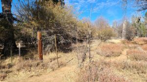
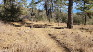
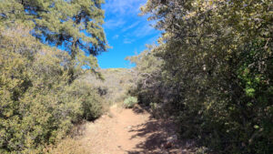
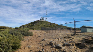
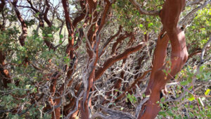
This trail has lots of pine trees. It also has lots of turns and junctions. After the Pacific Crest Trail junction, the plants gently graze your sides a bit as you pass through. When you emerge from the manzanita hedge, turn left at the fence. The fenced off area contains a NASA station that communicates with satellites using lasers.
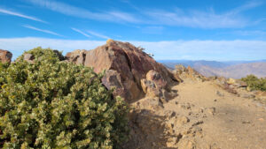
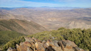
In ten yards, turn left to follow the road to the top. There are multiple communications towers at the summit. In fact, there are many towers on connecting ridgelines. From the peak, the slopes are green in every direction. After the hike, depending on the season, go to Julian for a cup of cold or hot apple cider.
Red Tape
Display your adventure pass.
Photos