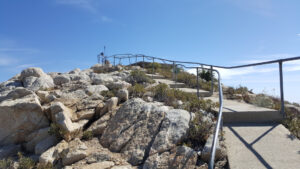
| Objective: Summit Vetter Mountain, San Gabriel Mountains, California Distance: 3.8 miles (out and back) Peak Elevation: 5,911′ Elevation Gain: 549′ Difficulty: Moderate |
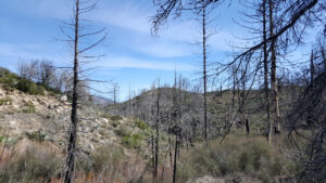
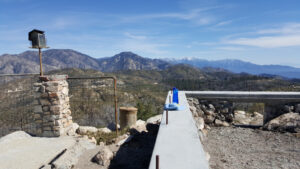
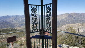
Vetter is centrally located in the San Gabriels between the shorter front range peaks and the taller back range peaks. It is above the chaparral of the south-facing dry slopes below. And, it is below the elevated forests to the north. It is in a strategic position to lookout for fires; however, work is underway to rebuild a new tower. Enjoy the commanding view from this location. Consider hiking to Mt. Mooney on the other side of the road.
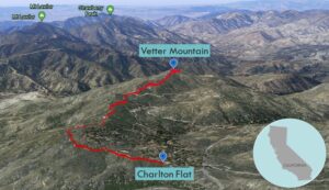
Directions to Trailhead
| From the 210 East in La Cañada, drive 23 miles on Angeles Crest Highway (CA-2). At the Charlton Flat Picnic Area, turn left onto Forest Service Road 3N16. Park at the right before the gate. |
Directions to Summit
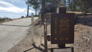
| Trailhead: From Charlton Flat, start hiking on Forest Service Road 3N16. 0.2 miles: At the junction, turn left. 1.2 miles: At the junction, turn left onto Vetter Mountain Road. 1.9 miles: You have reached the summit. Turn around and head back. |
Trek Highlights
Once you start hiking, simply take the left fork at every junction. Signs are at regular intervals along the well-marked trail. Avoid taking other trails to the top of Vetter Mountain.
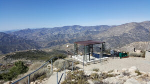
Vetter Mountain was known for its iconic fire lookout tower. From its high perch atop Vetter Mountain, a person could search for wilderness fires. The lookout tower was built in 1937, during the heyday of fire lookouts. In an ironic twist of fate, the tower burned during the 2009 Station Fire. In the spirit of renewal and regeneration, a concrete foundation has been poured for a new tower.
Red Tape
Display your adventure pass.
Factoids
Victor P. Vetter was a forest ranger and fire dispatcher. Pine Flat was renamed to Charlton Flat in honor of the forest service’s first forest supervisor, R.H. Charlton.
Photos
