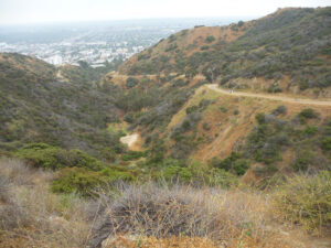
| Objective: Hike to Runyon Canyon, Santa Monica Mountains, California Distance: 2.8 miles (out and back) Elevation Gain: 683′ Difficulty: Easy |
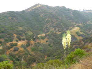
Runyon Canyon is a centrally located urban wilderness within Los Angeles, at the eastern end of the Santa Monica Mountains. The park is a haven for dogs, athleisure, and celebs.
Directions to Trailhead
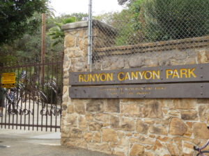
| Head north on US-101. Take exit 9B toward Highland Avenue/Hollywood Bowl. Turn right onto Odin Street and continue for 0.2 miles. Make a left at Highland Avenue and drive 0.4 miles. Turn right onto Franklin Avenue and continue 0.6 miles. Turn right onto Fuller Avenue. Somehow, find street parking. Enter the Fuller Avenue stone gate entrance to Runyon Canyon Park. |
Directions to Summit
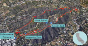
| Trailhead: Hike clockwise in the outer loop of Runyon Canyon Park. 0.07 miles: At the junction, keep left. 0.16 miles: At the junction, turn right onto Runyon Canyon Road. 0.2 miles: At the junction, keep left. 0.3 miles: At the junction, keep right onto West Ridge Hiking Trail. 1.3 miles: Make a sharp right onto Runyon Canyon Road. 1.7 miles: At the junction, keep left on Inspiration Point Trail. 2.2 miles: At the junction, keep left. 2.4 miles: At the junction, keep left. |
Trek Highlights
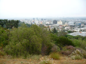
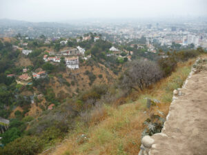
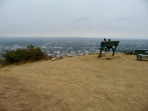
The trails consist of an inner and outer loop. The outer loop traces the ridgeline surrounding the canyon. Along the eastern edge of the outer loop, there are a couple great vantage points: Cloud’s Rest and Inspiration Point.
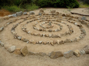
The inner loop is closer to the canyon floor, and provides access to the spiral rock art at the center of the park.
Photos
