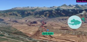
| Location: Issyk Kul Lake, Tian Shan Mountains, Kyrgyzstan Distance: 3.3 miles (out and back) Peak Elevation: 5,722′ Elevation Gain: 466′ Difficulty: Easy |
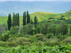
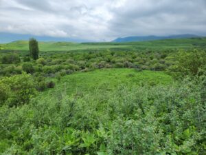
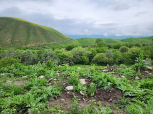
This is a good leg stretcher to get warmed up for trekking around the Issyk Kul Lake region in Kyrgyzstan. Chong-Kemin Valley runs west to east along the Küngöy Ala-Too range in the northern section of the Tian Shan Mountains. Issyk Kul Lake is to the south.
Trek Highlights
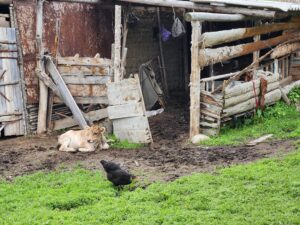
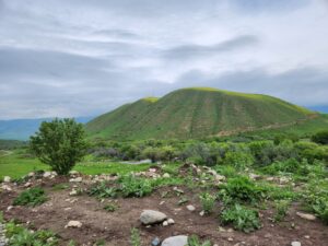
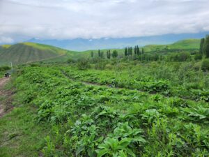
We leave the village and its farms. We walk along a drainage of the Chong-Kemin River that empties into Issyk Kul. It’s late spring and everything is green. The farms are green and the hills are green. It’s layer upon layers of green.
Photos of Chong-Kemin