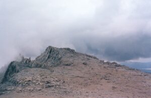
| Objective: Summit Mt. Langley, Sierra Nevada Mountains, California Distance: 22 miles (out and back) Peak Elevation: 14,027′ Elevation Gain: 4,042′ Difficulty: Strenuous |
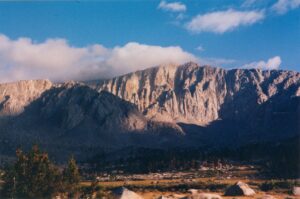
Mt. Langley is the ninth highest peak in California and the seventh highest in the Sierra Nevadas. It is also the southernmost fourteener in the US. The hike crosses a meadow, weaves glacial lakes to a mountain pass, and climbs a talus slope to the summit.
Directions to Trailhead
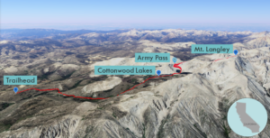
| Take the 395 to Lone Pine and then head west on Whitney Portal Road. Turn left at a sign to Horseshoe Meadows Road and follow it to the New Army Pass trailhead. |
Directions to Summit
| Trailhead: The Cottonwood Lakes trail starts next to a campground. 1.5 miles: The trail crosses a stream. 4 miles: At the junction, turn right onto the Army Pass Trail. As you hike through the Cottonwood Lakes Basin, the trail becomes somewhat uncertain. Old Army Pass is closest to Lake 4. 9 miles: Old Army Pass is the preferred notch north of New Army Pass. The final stretch is a talus ridge to the summit. 11 miles: You have reached Mt. Langley. Turn around and head back. |
Trek Highlights
The Cottonwood Lakes Trail starts next to a campground and begins rising rather leisurely. After 1.5 miles, you cross a stream and enter the luxuriant tall grasslands of Horseshoe Meadow.
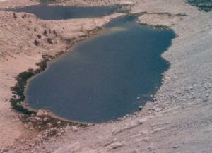
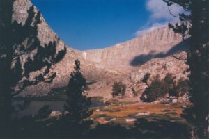
At the Cottonwood Lakes basin, there is a fork to the Army Pass Trail, which is not that evident, so the key here is to navigate using the lakes as reference points. (Caution: Some maps have mixed up the lake numbers.) Head northwest before Lake 1 and continue along the path by the northeastern bank of long slender Lake 3. Stay above the northern shoreline of Lake 4.
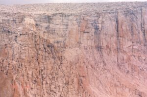
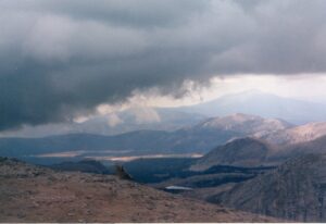
At the western edge of Lake 4, you should see two notches on the ridgeline. Old Army Pass is north (or to the right) of New Army Pass. Aim for Old Army Pass, head southeast and then make a U-turn for the pass. The trail starts to rise slowly, but soon it aggressively ascends to the crest. After an energetic push to the 12,000-foot saddle, the gravelly gritty slope leads north to the zenith. The peak’s scree slope is a steep jumble of immense boulder piles and colossal rock slabs. This stone playground below the peak is actually quite engaging since the boulders are as tall as a person and the light rock scrambling requires a range of leaping and stretching maneuvers.
Red Tape
Permits can be reserved at $5/person; walk-in permits, if available, are free.
Factoids
Samuel Pierpont Langley was an inventor and aviation pioneer.
Photos
